Posted on Leave a comment

Cartography Assets for Fantasy Maps: Wetlands, Marshes, and Swamps

wonderdraft assets, marshlands, wetlands, marshland, wetland, marsh and swamps, vintage cartography symbols

Cartography has long served as a vital tool for explorers, rulers, and scholars, offering a visual representation of the known world and its myriad landscapes. Among these varied terrains, swamps and marshes hold a distinctive place, both in terms of their utilitarian significance and their cultural resonance. These wetland regions were often depicted on ancient maps with a characteristic set of symbols and textures that provided essential information to those who relied on them. The Old Cartography Swamps & Marshes – Wetland Assets Megapack seeks to emulate these time-honored techniques, offering a rich collection of assets that can breathe life into any fantasy map. But to fully appreciate the utility and beauty of these assets, one must first understand their historical and cultural context.

BUY AND DOWNLOAD The Old Cartography Swamps & Marshes – Wetland assets Megapack here :

Historical Depictions of Swamps and Marshes

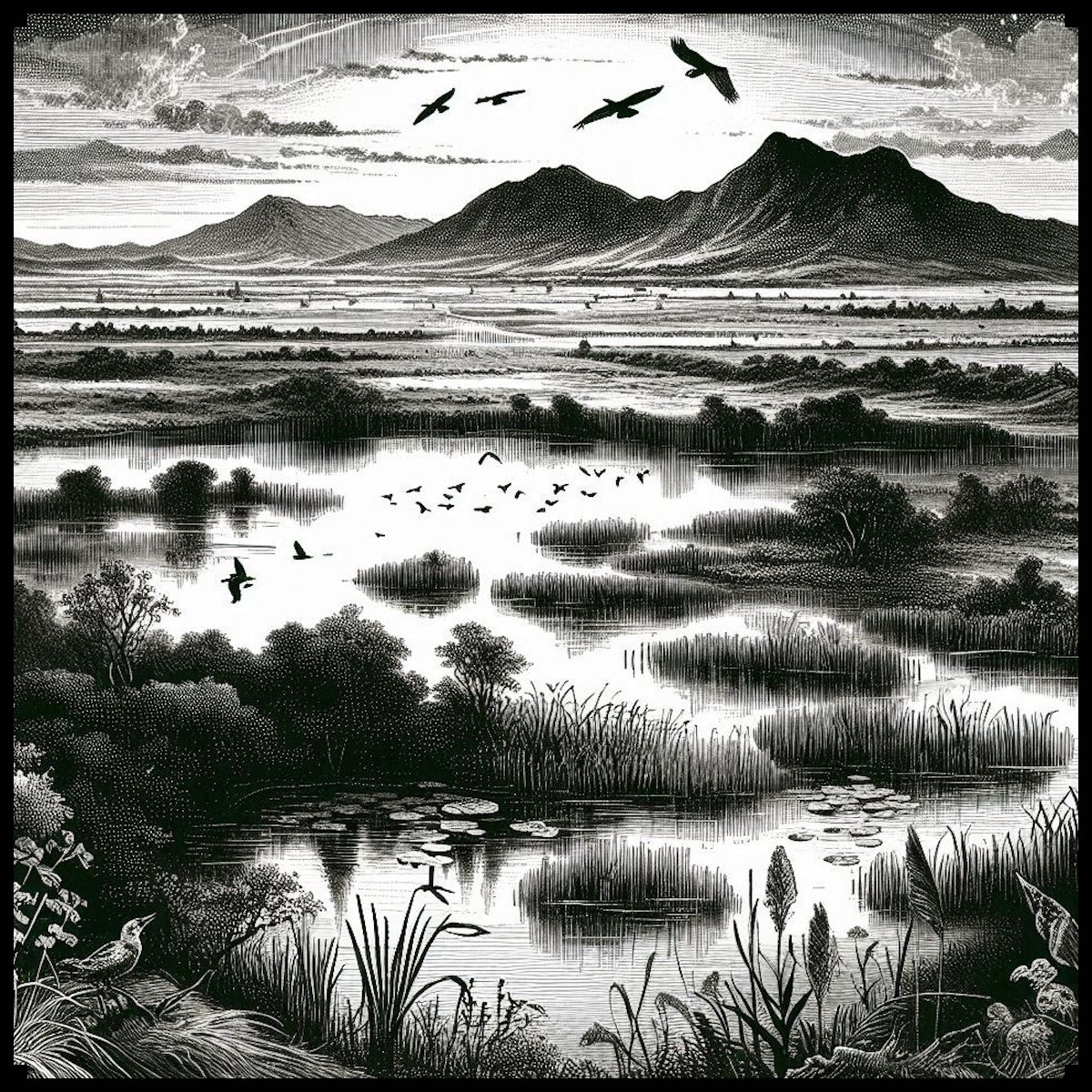
In ancient and medieval cartography, swamps and marshes were depicted with a variety of symbols, each designed to convey the terrain’s distinctive characteristics. These wetland areas were often represented using hatching, a technique involving closely spaced parallel lines that suggested the presence of waterlogged ground. In some cases, these lines were supplemented with small clusters of dots or tiny grass-like strokes to emphasize the presence of water and vegetation. For instance, in the Tabula Peutingeriana, an ancient Roman map of the road network across the Roman Empire, wetlands were denoted with careful hatching and small dots, highlighting the treacherous and often impassable nature of these areas.

Another fascinating example is the Ebstorf Map, a medieval mappa mundi (world map) from the 13th century. Although the original was destroyed during World War II, copies and descriptions of the map reveal that marshes were indicated by small, detailed symbols, often accompanied by images of reeds, trees, and waterfowl. The inclusion of such details was not merely decorative; it provided crucial information to travelers and traders about the difficulties they might face when navigating these regions.

Utility and Cultural Significance

The representation of swamps and marshes on ancient maps served several purposes. Primarily, these depictions were practical. Wetlands were often hazardous areas, difficult to traverse and prone to harboring diseases like malaria. By marking these regions clearly, cartographers provided vital warnings to those planning their journeys. For example, medieval maps of the British Isles often included marshlands such as the Fens, depicted with characteristic symbols to indicate their challenging nature. Such details were indispensable for military planners, traders, and pilgrims.

Beyond their practical applications, the depiction of swamps and marshes also carried cultural significance. In many cultures, wetlands were seen as liminal spaces—regions on the edge of civilization, where the boundaries between land and water, life and death, were blurred. This cultural perception is reflected in the way these areas were depicted on maps. For instance, on some medieval maps, marshes were adorned with mythical creatures or fantastical beasts, reinforcing their status as mysterious and otherworldly places.

Castles, Towers, and Villages in the Marshes

The inclusion of human-made structures like castles, towers, and villages within marshes on ancient maps adds another layer of complexity to these representations. In reality, such structures were often built in marshes for defensive purposes; the difficult terrain provided a natural barrier against invaders. The Motte-and-Bailey castles, for instance, were sometimes constructed in or near marshy areas, where the waterlogged ground made direct assaults more difficult. These strategic choices are reflected in the cartographic symbols used to denote these structures.

On ancient maps, castles and towers in marshes were often depicted with a combination of symbols: a small tower or castle icon surrounded by hatching or marsh symbols. This visual combination indicated both the presence of a fortified structure and the challenging nature of the surrounding terrain. The Gough Map of Great Britain, dating to the 14th century, provides an example of this, where the wetlands around the River Trent are shown alongside small fortified icons, signaling both the military and geographical challenges of the area.

The Old Cartography Swamps & Marshes – Wetland Assets Megapack

The Old Cartography Swamps & Marshes – Wetland Assets Megapack offers a meticulously crafted set of tools that draw directly from these historical traditions. The pack includes a variety of marsh and swamp elements, such as hatching, tall grasses, ponds, and marsh trees, each designed to replicate the look and feel of ancient maps. The assets also include symbols for castles, towers, and villages within these wetland areas, allowing mapmakers to create complex and historically resonant representations of their fantasy worlds.

These assets are more than just decorative; they are deeply rooted in the cartographic practices of the past. By using these symbols, modern mapmakers can evoke the same sense of mystery, danger, and strategic complexity that ancient cartographers sought to convey. Whether creating a map for a fantasy novel, a role-playing game, or a historical simulation, the inclusion of these wetland elements can add depth and authenticity to the final product.

Decorative and Aesthetic Considerations

While the primary function of swamp and marsh symbols on ancient maps was utilitarian, there is no denying their aesthetic appeal. The careful attention to detail in the hatching, the graceful curves of the reeds, and the stark simplicity of the dotted lines all contribute to the overall beauty of the map. These elements were as much about creating an artwork as they were about conveying information. The same is true for the Old Cartography Swamps & Marshes – Wetland Assets Megapack. The assets in this pack are designed with an eye for detail, ensuring that each symbol not only serves a functional purpose but also enhances the visual appeal of the map.

Conclusion

The depiction of swamps and marshes on ancient maps is a fascinating blend of utility, culture, and art. These representations provided essential information for travelers, while also reflecting deeper cultural attitudes towards these mysterious and often feared landscapes. The Old Cartography Swamps & Marshes – Wetland Assets Megapack captures this rich tradition, offering a suite of tools that can bring the same depth and authenticity to modern fantasy maps. By drawing on the techniques and symbols of the past, mapmakers can create maps that are not only functional but also beautiful, resonating with the same sense of wonder and discovery that has captivated explorers and cartographers for centuries.

Posted on Leave a comment

Carcasses & Bones : The Symbolism in Cartography Assets and Fantasy Maps

cartography assets, wonderdraft assets, bones, skulls, carcass assets and symbols for fantasy map, etching illustration

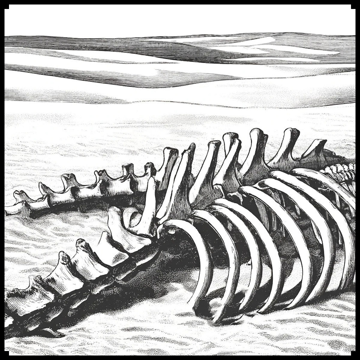
Throughout the ages, maps have served not just as tools for navigation and exploration, but as rich tapestries of symbolism and storytelling. In the realms of both ancient and fantasy cartography, the depiction of carcasses, skeletons, bones, and skulls holds profound significance. These macabre elements, from the eerie remnants of giant creatures to the petrified skulls forming hellmouth entrances, add layers of narrative depth and visual intrigue. This article explores the historical and cultural significance of these skeletal features, highlighting their symbolic meanings and aesthetic contributions. Additionally, we introduce the Carcasses & Bones – Vintage Assets Megapack, a collection designed to enhance fantasy maps with a vintage flair, echoing the art of ancient cartography.

BUY AND DOWNLOAD The Carcasses & Bones ( skulls, bones, carcasses, skeletons, remains ) – Vintage assets Megapack here :

Symbolism of Skeletal Remains in Cartography

In ancient and fantasy maps, skeletal remains serve as powerful symbols:

  1. Markers of Danger: Skeletons, particularly those of giant creatures, signify perilous areas. They warn travelers of potential threats, from treacherous terrain to lurking predators or cursed lands. For instance, the bones of a dragon might indicate a region fraught with magical dangers.
  2. Historical Echoes: The depiction of bones and carcasses often suggests a storied past. They can represent ancient battles, devastating calamities, or the remnants of mythical creatures, thus providing a narrative context that enriches the map’s lore.
  3. Cultural Significance: Skeletons and carcasses are imbued with cultural and mythological meanings. They might symbolize the remnants of ancient civilizations, embodying themes of mortality and the passage of time.
  4. Filling the Void: In vast, unexplored regions—particularly deserts or remote areas—skeletal remains help fill empty spaces, making the map more visually engaging and complete. This technique prevents the map from appearing barren or unfinished.

The Hellmouth: A Gateway to the Underworld

One of the most striking symbols in ancient and fantasy maps is the hellmouth, often depicted as a giant skull or monstrous mouth. This imagery serves multiple purposes:

  1. Symbol of Evil: The hellmouth represents an entrance to the underworld or hell, symbolizing ultimate evil and chaos. It is often used to mark places of extreme danger or malevolence, suggesting that the area is a gateway to darker realms.
  2. Narrative Device: In storytelling, a hellmouth can signify a portal to another world, setting the stage for epic adventures or terrifying encounters. It evokes a sense of dread and curiosity, compelling explorers to either avoid the area or delve into its mysteries.
  3. Artistic Expression: The depiction of a hellmouth, often as a gaping, monstrous skull, showcases the artist’s skill in creating dramatic and evocative imagery. It serves as a focal point on the map, drawing the viewer’s eye and sparking the imagination.

Historical Context and Real-World Examples

The inclusion of skeletal remains on maps is rooted in historical practice. One notable example is the Tabula Rogeriana, a 12th-century map created by the Arab geographer Muhammad al-Idrisi. Although it does not explicitly depict skeletal remains, it features intricate illustrations of landscapes and creatures, offering a glimpse into how ancient cartographers used imagery to convey information.

In medieval Europe, Mappa Mundi maps, such as the Hereford Mappa Mundi, often depicted monstrous creatures and skeletal remains. These maps combined geographical knowledge with mythological and religious elements, portraying a world where the boundaries between reality and legend were blurred. Skeletons of dragons and other mythical creatures were often used to fill unknown or unexplored areas, symbolizing danger and the limits of human knowledge.

The Carcasses & Bones – Vintage Assets Megapack

For modern fantasy cartographers and enthusiasts, the Carcasses & Bones – Vintage Assets Megapack offers a treasure trove of detailed, vintage-style assets to enhance their maps. This collection includes:

  • Carcasses and bones of various creatures
  • Skulls, including giant stone skulls and skull entrances (hellmouths)
  • Bone piles and guts piles
  • Skeletons of dragons, dinosaurs, whales, and humans
  • Remains of giant ribs and other creature carcasses

These assets are designed to mimic the style of old maps, adding an authentic, antique feel to your creations. They provide the tools needed to bring your fantasy worlds to life, imbuing your maps with the same sense of wonder and terror found in historical cartography.

Examples in Fiction

In modern fantasy literature and games, skeletal remains often play a crucial role in setting the scene and advancing the plot. For instance, in J.R.R. Tolkien’s Middle-earth, the Barrow-downs are haunted by the skeletal remains of ancient warriors, adding to the eerie and foreboding atmosphere. Similarly, in the video game The Elder Scrolls V: Skyrim, the landscape is dotted with the remains of dragons, emphasizing the world’s rich history and the ever-present danger.

Conclusion

The depiction of carcasses and bones on maps is a practice steeped in history and tradition. It serves symbolic purposes, enriches cultural narratives, and enhances the visual and emotional impact of cartography. Whether in ancient maps or modern fantasy creations, these macabre elements continue to captivate and inspire. The Carcasses & Bones – Vintage Assets Megapack offers a way for contemporary mapmakers to tap into this rich tradition, creating detailed and evocative maps that resonate with the legacy of ancient cartographers.

Posted on Leave a comment

Fantasy Map Assets : Crafting Top-down Mountains, Hills, and Plateaus

topographic mountains, fantasy map symbols, top-down mountains and hills with contour lines, Wonderdraft assets

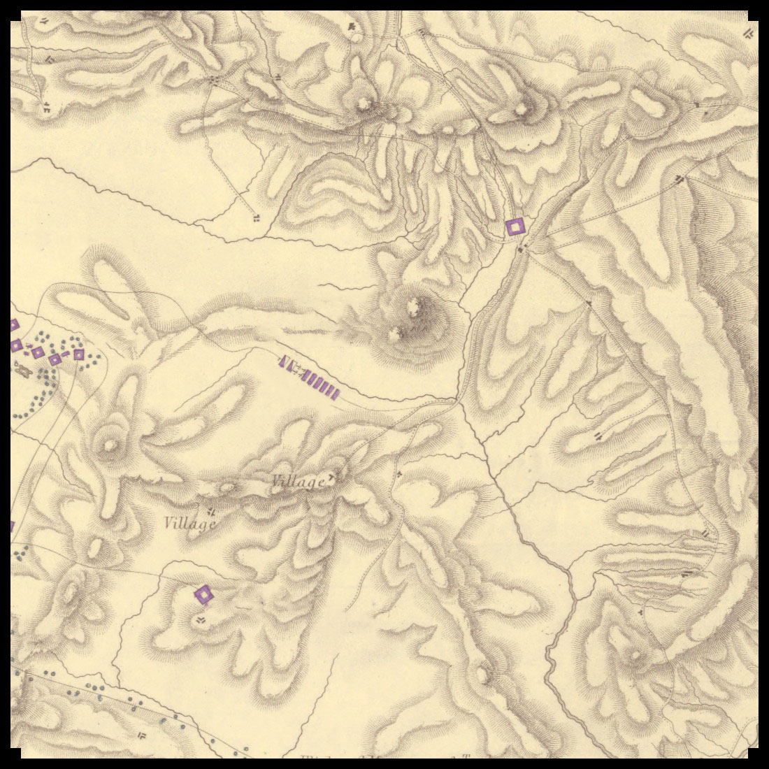
Maps have been indispensable tools for navigation, exploration, and storytelling throughout history. Among the various elements that bring maps to life, the depiction of mountains, hills, and plateaus stands out for its blend of utility and artistry. The Old Cartography Top-Down Mountains & Topography Assets Megapack offers a rich collection of assets that emulate the intricate style of antique maps, making it a perfect resource for fantasy map creators.

BUY AND DOWNLOAD The Old Cartography top-down mountains & topography assets Megapack here :

Historical Context of Top-Down Topographic Representations

In antique maps, the representation of geographical features like mountains and hills was not only functional but also a form of artistic expression. Early cartographers used symbols and illustrations to convey the terrain’s physical characteristics, often in a stylized manner that reflected the artistic conventions of their time. For instance, the Tabula Rogeriana created by Muhammad al-Idrisi in 1154, and Abraham Ortelius’s Theatrum Orbis Terrarum from 1570, are notable examples of how mountains and hills were depicted using exaggerated forms and detailed linework.

In these historical maps, mountains were typically shown in a profile view, stacked or lined up to convey their presence on the landscape. This method was not geographically accurate by modern standards but provided an immediate visual cue about the terrain’s ruggedness and elevation changes. Hills were often depicted as smaller, rounded forms, while plateaus were shown with flat tops and distinct edges.

Utility and Aesthetic Value

The primary utility of these representations lay in their ability to communicate complex topographical information quickly and effectively. Travelers and explorers relied on these maps to understand the lay of the land, anticipate obstacles, and plan their routes. The use of contour lines and shaded relief techniques evolved over time, enhancing the maps’ precision and readability.

In addition to their practical uses, these topographic elements held cultural and decorative significance. Maps were often commissioned by royalty and nobility, serving as symbols of power and knowledge. The artistic embellishments, including elaborate mountain ranges and lush forests, added an element of prestige and beauty to these documents, making them treasured works of art.

Examples in Fiction

The influence of antique cartography extends into modern fantasy literature, where maps play a crucial role in world-building. J.R.R. Tolkien’s Middle-earth maps, for example, draw heavily on antique map styles, featuring detailed mountain ranges and forests that mirror the aesthetic of historical cartography. Similarly, George R.R. Martin’s A Song of Ice and Fire series includes maps that use top-down representations to depict the varied terrains of Westeros and beyond.

The Old Cartography Top-Down Mountains & Topography Assets Megapack

This asset pack is a treasure trove for map enthusiasts and creators, offering a variety of top-down elements that mimic the style of antique maps. The pack includes:

  • Top-Down Mountain Parts: Segments that can be combined to form mountain ranges, providing flexibility in designing unique landscapes.
  • Top-Down Plateau Parts: Elements to depict flat-topped elevated areas, essential for creating diverse terrains.
  • Top-Down Hill Parts: Rounded forms that can be used to illustrate gentle slopes and rolling landscapes.
  • Top-Down Individual Mountains and Hills: Standalone elements for specific geographical features.
  • Old Cartography Trees: Iconic tree illustrations that add a touch of historical authenticity.
  • Contour Line Paths: Lines that indicate elevation changes, enhancing the map’s topographic detail.

Conclusion

The Old Cartography Top-Down Mountains & Topography Assets Megapack is more than just a collection of map elements; it is a bridge to the past, capturing the essence of antique cartography while providing modern utility. By combining historical aesthetics with practical functionality, this pack empowers creators to craft maps that are not only useful but also visually stunning and culturally rich. Whether for storytelling, game design, or personal enjoyment, these assets offer a timeless appeal that echoes the grandeur of maps from centuries past.

Posted on Leave a comment

Mayan, Aztec, Inca: Ancient Settlements in the Fantasy Map Assets Collection

wonderdraft assets, aztec pyramids, inca pyramids, mayan pyramids, aztec settlements, aztec towns, vintage cartography assets

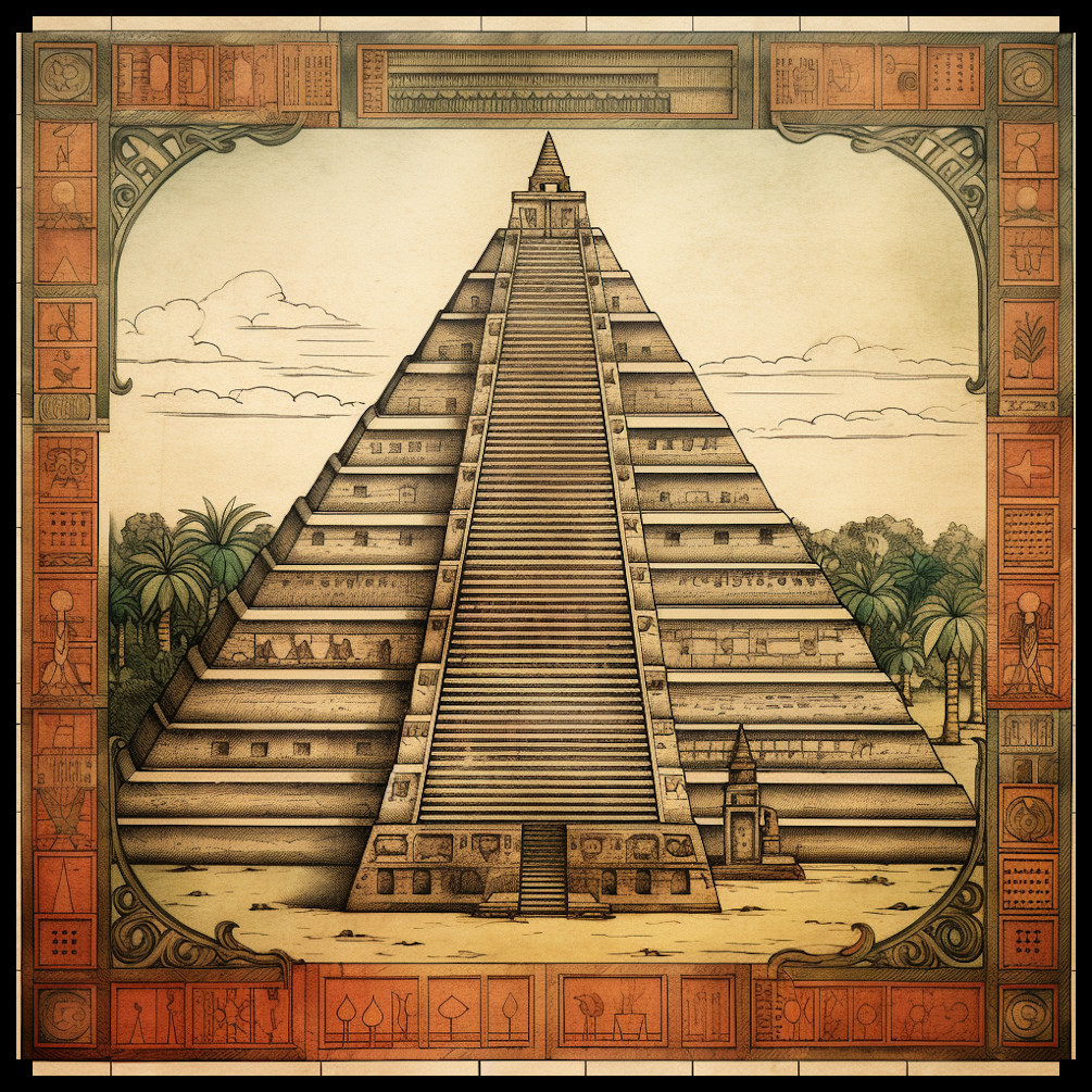
In the realm of fantasy maps and the rich tapestry of ancient cartography, the grandeur of Mesoamerican civilizations, including the Mayans, Aztecs, and Incas, has captivated both historians and enthusiasts alike. This article explores the role of these majestic cultures in fantasy and antique maps, shedding light on the intricate details showcased in the Ancient Settlements, Pyramids, Temples, & Towns – Mesoamerican Vintage Assets Megapack (Mayan, Aztec, Inca).

BUY AND DOWNLOAD The Ancient settlements, pyramids, temples, & towns – Mesoamerican vintage assets Megapack ( Mayan, Aztec, Inca ) :

Historical Context of Mesoamerican Civilizations:
The Mayan, Aztec, and Inca civilizations flourished in Central and South America, leaving behind a legacy of awe-inspiring structures such as pyramids, temples, settlements, and towns. Their advanced architectural prowess and cultural significance have found a place in the collective imagination, both in reality and in the realm of fantasy.

Antique Maps and the Age of Exploration:
During the Age of Exploration, explorers and navigators crafted intricate maps to document their discoveries. The allure of the New World, with its exotic landscapes and ancient civilizations, fascinated cartographers. Notable examples include the works of Spanish explorers such as Hernán Cortés and Francisco Pizarro, who ventured into the heart of Mesoamerica.

References to Mesoamerican Marvels in Antique Maps:
Examining antique maps from this period reveals the inclusion of detailed depictions of Mayan, Aztec, and Incan pyramids, temples, settlements, and towns. For instance, the Cantino Planisphere (1502) showcases the richness of the New World, with symbols representing Mesoamerican structures. Similarly, the Waldseemüller map (1507) presents an early representation of the Americas, featuring mythical creatures and indigenous settlements.

Educational and Decorative Maps for Princes:
Maps served not only as navigational tools but also as educational and decorative pieces for princes. In the 16th century, noble houses commissioned maps that adorned palace walls, providing a visual journey through the exotic wonders of Mesoamerica. These maps featured meticulously drawn Mayan and Aztec pyramids, temples, and towns, offering a window into a world yet to be fully understood.

Utility and Cultural Significance:
The inclusion of Mesoamerican elements in maps served practical purposes, aiding explorers in navigation and colonial administration. Beyond utility, these representations held profound cultural significance. They acted as a bridge between the Old and New Worlds, fostering an understanding of the intricate societies that thrived in Mesoamerica.

Mesoamerican Vintage Assets Megapack:
In the contemporary realm of fantasy map creation, the Ancient Settlements, Pyramids, Temples, & Towns – Mesoamerican Vintage Assets Megapack pays homage to the rich history of the Mayans, Aztecs, and Incas. This meticulously crafted pack features a stunning array of assets, including Mayan pyramids, Aztec settlements, Inca temples, and more. The vintage aesthetic mimics the charm of antique maps, bringing to life the mystique of Mesoamerican civilizations.

Conclusion:
The integration of Mesoamerican marvels in fantasy and antique maps serves as a testament to the enduring fascination with the ancient cultures of the Americas. The Ancient Settlements, Pyramids, Temples, & Towns – Mesoamerican Vintage Assets Megapack not only provides a tool for map creators but also invites a reflection on the enduring allure of these awe-inspiring civilizations.

Posted on Leave a comment

Mazes and Fantasy Map Symbols in Cartographic Art

wonderdraft resources, cartography assets and symbols, hedge maze and labyrinth assets pack

In the vast realm of fantasy and ancient cartography, mazes and labyrinths have played a captivating role, transcending mere navigational tools to become symbols of mystery, challenge, and intricate design. The Mazes & Labyrinths Vintage Assets Megapack promises to bring these captivating elements to life in the realm of fantasy mapping, drawing inspiration from the rich history of real-world maps and fictional landscapes.

BUY AND DOWNLOAD The Mazes & Labyrinths Vintage Assets Megapack :

I. The Historical Tapestry of Mazes and Labyrinths

A. Ancient Maps:

Ancient civilizations, such as the Greeks, Romans, and Egyptians, often incorporated mazes and labyrinths into their cartographic representations. One notable example is the Cretan Labyrinth, a mythical construct associated with the Minotaur. The symbolism of these structures extended beyond mere physical spaces, representing spiritual journeys and the complexities of life.

B. Hedge Mazes and Garden Mazes:

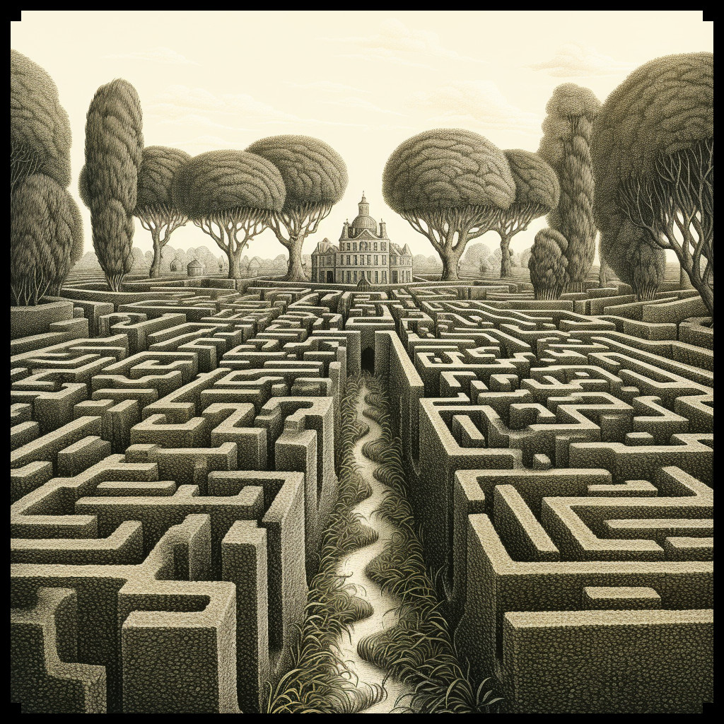
Hedge mazes, prevalent in European gardens since the Renaissance, found their way into both real and imaginary landscapes. The Mazes & Labyrinths Vintage Assets Megapack draws inspiration from the intricate patterns of historical garden mazes, reflecting the elegance and sophistication of bygone eras.

C. Stone Mazes and Ruins Mazes:

The fascination with stone mazes and ruins in maps can be traced to medieval and Renaissance periods. Real-world examples, such as the Chartres Cathedral labyrinth in France, showcased intricate stone designs that served both spiritual and functional purposes. The megapack captures this essence, offering a diverse range of stone mazes and ruins that add a touch of antiquity to fantasy maps.

II. The Megapack: A Glimpse into Fantasy Cartography

The Mazes & Labyrinths Vintage Assets Megapack boasts an array of elements designed to evoke the charm of antique maps. From town mazes and city mazes to rocky mazes and mage’s mazes, the pack seamlessly blends fantasy elements with historical aesthetics, offering cartographers a treasure trove of assets to create immersive and visually stunning maps.

A. Decorative Trees and Monoliths:

Beyond mazes, the megapack includes decorative trees and monoliths, enhancing the overall atmosphere of fantasy maps. These elements not only serve as visual embellishments but also reflect the diverse landscapes found in both historical and fantastical settings.

B. Cultural Significance:

Mazes and labyrinths have long held cultural significance, representing challenges, quests, and the journey of self-discovery. The megapack allows creators to infuse these cultural elements into their fantasy worlds, providing a canvas for storytelling and exploration.

C. Utilitarian and Decorative Aspects:

In both historical and fantasy maps, mazes served utilitarian purposes, guiding travelers or symbolizing a sacred journey. The megapack acknowledges this dual role, offering assets that blend functionality with the ornate, creating maps that are both practical and visually appealing.

Conclusion

The Mazes & Labyrinths Vintage Assets Megapack breathes life into fantasy cartography, drawing inspiration from the rich history of mazes and labyrinths in both real-world maps and imaginative tales. By seamlessly blending utility, cultural symbolism, and decorative elements, this megapack invites creators to embark on a journey through time and fantasy, where every twist and turn tells a story of mystery and adventure.