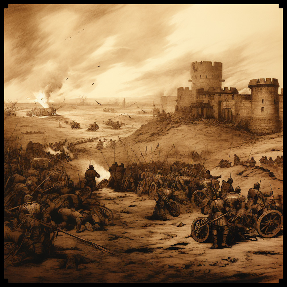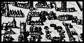
In both ancient maps and fantasy maps, various symbols have been used to represent infantry and cavalry battalions, artillery, mythical creatures, ships, campsites, and more. This article explores the historical and creative significance of these symbols, highlighting their evolution across different eras, including medieval, Napoleonic, and modern NATO. In addition, we will examine the Old Cartography Battlefield Units and War Assets Megapack, a collection that embodies the essence of ancient maps, while providing a diverse range of assets for fantasy map creators.
BUY AND DOWNLOAD the Old Cartography Battlefield Units and War Assets Megapack :
Ancient Maps:
Ancient maps often featured figurative representations of infantry and cavalry battalions, depicted through detailed illustrations of soldiers and horses. These symbols aimed to convey the visual impact of military forces, showcasing the magnitude and organization of ancient armies. Ships, represented by stylized vessels, were included to indicate naval units and exploration of uncharted territories. Campsites were often illustrated with tents, emphasizing the importance of logistics and strategic positioning in ancient warfare.
Medieval Maps:
In medieval cartography, infantry and cavalry battalions were depicted figuratively, often shown as rows of helmeted soldiers or mounted knights. These symbols provided a sense of the formation and composition of military units. Artillery was limited during this era, but fortified positions were represented by fortified walls. Destroyed houses and churches were sometimes included to showcase the aftermath of battles or the impact of sieges.
Napoleonic Era:
During the Napoleonic era, military symbols on maps became more standardized and abstract. Infantry and cavalry battalions were often represented by squares or rectangles, occasionally divided by a diagonal line to differentiate light and heavy infantry. Artillery symbols showcased cannon placements, typically depicted as small circles or squares with diagonal lines or dots to represent guns or batteries. These symbols allowed for a clear visualization of unit positions and tactical formations.
Modern NATO:
Modern NATO maps employ standardized symbols to represent infantry, cavalry, and artillery units. Infantry symbols are typically rectangular or diamond-shaped, with additional markings indicating unit types and sizes. Cavalry symbols may feature mechanized or armored representations, showcasing modern vehicle units. Artillery symbols include icons representing different types of artillery, enabling precise identification of weapon systems.
Fantasy Cartography:
In the realm of fantasy maps, the imagination knows no bounds. Symbols depicting infantry and cavalry battalions can vary from traditional representations to fantastical creatures or mythical beings. Giants, dragons, cyclops, harpies, and other massive beasts add a touch of wonder and danger to the map, captivating the imagination of adventurers and readers alike.
Conclusion:
From the figurative representations of ancient maps to the standardized symbols of modern NATO, the evolution of military symbols in cartography is a testament to the rich history and creative possibilities within the genre. The Old Cartography Battlefield Units and War Assets Megapack encompasses the spirit of ancient maps while offering fantasy map creators a diverse range of assets to bring their imaginative worlds to life. By incorporating historically inspired symbols and fantastical elements, these assets provide a bridge between the realms of history and fantasy, enabling creators to craft visually stunning and immersive maps. Whether depicting ancient battles, Napoleonic campaigns, or fantastical adventures, the symbols within this asset pack offer endless opportunities for map enthusiasts to explore the depths of the past and unleash their creative visions upon the map.


