Maps have been pivotal tools for exploration, navigation, and storytelling throughout history. They combine practical utility with artistic expression, drawing inspiration from both the real world and the realms of imagination. In the realm of cartography, antique maps provide a rich source of inspiration for fantasy maps, fostering a bridge between history and creativity. This article delves into the significance of mountains, hills, and related features in both antique and fantasy maps, while showcasing the Ultimate Vintage Mountains & Mountain Ranges + Hills – 265 Assets Megapack, a collection that lovingly echoes the classic cartographic style.
BUY AND DOWNLOAD The Ultimate Vintage Mountains & Mountain Ranges + Hills – 265 Assets Megapack :
Mountains and Hills in Antique Maps
Antique maps are windows into the past, displaying a blend of geographical knowledge and artistic interpretation. The representation of mountains, hills, and related terrain features in these historical maps evolved over time and varied across cultures, but certain themes persisted:
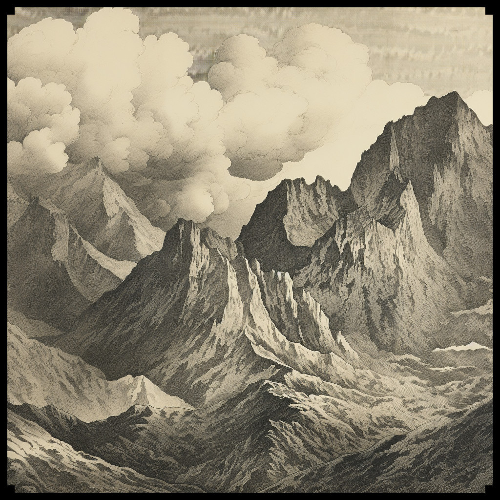
Mountain Ranges: Antique maps often portrayed mountain ranges as towering, jagged formations. The Alps, illustrated in Ptolemy’s Geographia in the 2nd century, provide an early example of this style, with hatched lines indicating elevation.
Hill Ranges: Hills were depicted with gentler slopes compared to mountains, reflecting their smaller scale. A notable example is the “Tabula Rogeriana” by Muhammad al-Idrisi, where terrain features are illustrated with a mixture of artistic impression and geographical accuracy.
Individual Mountains: Prominent peaks, like Mount Fuji in Japanese Edo period maps, were detailed meticulously, often becoming iconic symbols of the region.
Rocky Isles: Coastal maps included rocky isles and outcrops, such as those found in the 16th-century maps of the Mediterranean by Abraham Ortelius, enriching the maritime landscape.
Pinnacles: Antique maps frequently featured towering pinnacles at mountain summits, as seen in the map of the Himalayas from the early 19th century, adding an element of grandeur and mystique.
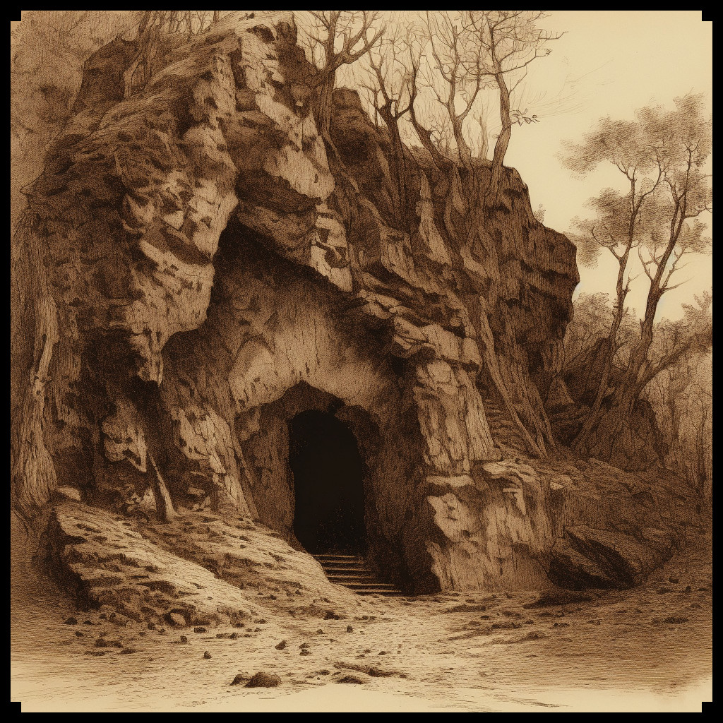
Mountain Caves: Maps of famous caves or entrances, like those found in the legendary journeys of Sinbad the Sailor, often intrigued readers with their potential for adventure and discovery.
Fantasy Maps and the Ultimate Vintage Mountains & Mountain Ranges + Hills Megapack
Fast forward to the world of fantasy maps, where cartographers and world-builders craft imaginary realms replete with magic and adventure. The Ultimate Vintage Mountains & Mountain Ranges + Hills – 265 Assets Megapack breathes new life into antique cartographic aesthetics, offering a cornucopia of elements to aid modern fantasy map creators.
This remarkable collection includes an array of assets that impeccably recreate the antique map style:
Mountain Ranges and Hill Ranges: Drawing inspiration from classics like Abraham Ortelius’s “Theatrum Orbis Terrarum,” these assets echo the bold lines and intricate detail that convey an epic scale in fantasy maps.
Individual Mountains and Hills: Each peak and hill within the megapack boasts intricate craftsmanship reminiscent of prominent terrain features in antique maps.
Karst Mountains: These unique formations, akin to those found in limestone-rich regions like the Dinaric Alps, offer a geological authenticity to fantasy landscapes.
Foothills: The gradual ascent from lowlands to towering peaks, evident in maps like John Rocque’s 18th-century surveys, grants fantasy maps depth and perspective.
Peaks and Pinnacles: Evoking the breathtaking heights of the Matterhorn in Swiss cartography, these assets infuse fantasy landscapes with drama and mystery.
Rocky Isles: Just as islands and coastal features were integral to ancient portolan charts, these rocky isles embellish the coasts of fantasy worlds, enhancing immersion.
Caves and Cave Entrances: Caverns, like those documented in Chinese silk maps dating back to the 3rd century BCE, foster a sense of exploration and intrigue, mirroring the mystique of their historical counterparts.
Special Mountains: Symbolic peaks, reminiscent of Mount Olympus in ancient Greek mythology, offer a compelling focal point or adventure destination within a fantasy realm.
Conclusion
Fantasy maps, like their antique counterparts, owe much of their artistic flair and imaginative power to the traditions of old-world cartography. The Ultimate Vintage Mountains & Mountain Ranges + Hills – 265 Assets Megapack stands as a testament to the enduring influence of antique maps on contemporary fantasy cartography. These assets not only capture the essence of antique maps but also empower creators to conjure captivating, imaginative worlds replete with mountains, hills, and other terrain features that have shaped cartographic history. In this timelessly blended tapestry of the past and the present, fantasy maps continue to inspire and transport us to uncharted realms limited solely by the frontiers of our imagination.