Posted on Leave a comment

Fantasy Map Symbols: The Grandeur of Medieval Wonders, Mega Cities, and fortresses

wonders and cities, fantasy map symbols, cartography assets and wonderdraft assets, fantasy medieval megastructures

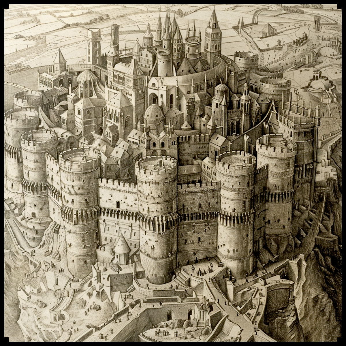
The allure of ancient maps lies not only in their representation of geography but also in their depiction of human ambition and imagination. These maps, whether antique or fantastical, often showcase megastructures and monumental cities that captivate the mind. In the fantasy genre, this tradition continues, blending medieval charm with grandiose creativity. The Fantasy Medieval Wonders, Mega Cities & Structures – Vintage assets Megapack is a testament to this legacy, offering a rich collection of assets that bring these magnificent visions to life.

BUY AND DOWNLOAD The Fantasy Medieval Wonders, Mega Cities & Structures – Vintage assets Megapack here :

Historical Context: Megastructures and Mega Cities in Antique Maps
Historically, maps served as more than navigational tools; they were expressions of cultural pride and human ingenuity. Antique maps often featured exaggerated and elaborate depictions of cities, fortresses, and wonders, reflecting the importance of these sites to their contemporary audiences.

For instance, the Hereford Mappa Mundi, created around 1300, illustrates Jerusalem as the center of the world, with an imposing and intricately detailed cityscape. Similarly, the Tabula Rogeriana, crafted by the Arab geographer Al-Idrisi in 1154, includes elaborate representations of cities and fortresses, showcasing the advanced state of urban development and fortification in the medieval Muslim world.

These maps served several purposes:

Utilitarian: They provided information about the geography and significant landmarks of the known world.
Cultural: They expressed the importance of certain locations, often tied to religious or political significance.
Aesthetic: The artistic elements made the maps visually appealing and symbolically rich.
Fantasy Maps: Continuation and Expansion of Tradition
In the realm of fantasy, mapmakers draw heavily from these historical practices, embellishing their worlds with fortified mega cities, towering citadels, and even flying cities. These elements are not merely decorative; they serve to immerse the viewer in a world where the extraordinary is commonplace.

Fortified Medieval Cities and Mega Cities: These are a staple in fantasy maps, symbolizing strength, protection, and the complexity of human societies. The Megapack includes assets that depict cities with extensive walls, intricate layouts, and monumental gates, reminiscent of real historical cities like Constantinople or Carcassonne.

Medieval Fantasy Wonders: High towers and vertical cities evoke the grandeur of human achievement and the mystical elements often found in fantasy. Think of the towering cities in J.R.R. Tolkien’s Middle-earth, like Minas Tirith, or the high-reaching structures in George R.R. Martin’s Westeros.

Flying Cities: These fantastical elements push the boundaries of imagination, inspired by myths and modern fantasy literature. Flying cities appear in works such as Hayao Miyazaki’s “Laputa: Castle in the Sky” and the floating city of Columbia in the video game “Bioshock Infinite.”

Practical and Cultural Significance
Maps featuring these megastructures serve both practical and cultural purposes. Practically, they help orient readers within the narrative universe, providing context and a sense of scale. Culturally, they reflect the values and technological aspirations of the societies depicted.

Practical Utility

Navigation and Orientation: Helps users understand the relative locations of key sites.
Storytelling: Provides a visual aid that enhances narrative immersion.

Cultural Significance:

Symbolism: Cities and structures often symbolize the civilization’s power, culture, and technological prowess.
Myth and Legend: Embellished representations contribute to the mythos of the world, making it richer and more engaging.

Decorative and Aesthetic Appeal
Beyond their practical uses, these maps are works of art. The aesthetic elements—intricate designs, detailed illustrations, and grandiose structures—make them visually captivating. The Fantasy Medieval Wonders, Mega Cities & Structures – Vintage assets Megapack embraces this decorative aspect, offering assets that can transform a simple map into a masterpiece.

Conclusion

The depiction of megastructures and fortified cities in maps, both antique and fantastical, serves multiple purposes. Historically, they conveyed practical information, cultural significance, and aesthetic beauty. In fantasy maps, these elements continue to inspire and captivate, providing a bridge between reality and imagination. The Fantasy Medieval Wonders, Mega Cities & Structures – Vintage assets Megapack is a valuable resource for mapmakers, allowing them to create maps that are not only useful but also rich in detail and wonder.

By incorporating these elements into their maps, creators can craft immersive worlds that pay homage to the grand traditions of cartography while pushing the boundaries of fantasy. Whether for storytelling, gaming, or pure artistic expression, these assets offer endless possibilities for bringing fantastical worlds to life.

Posted on Leave a comment

Castles in Cartography : Mapping with fantasy map assets

castles and strongholds, wonderdraft map assets, fantasy map assets, cartography assets

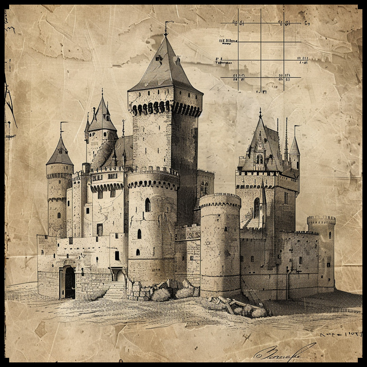
Maps have long served as windows to the imagination, guiding adventurers through uncharted territories, unlocking the secrets of forgotten realms, and unraveling the mysteries of fantastical worlds. Among the myriad genres that maps have adorned, none have captured the imagination quite like those of fantasy realms, where castles stand as bastions of power, fortresses of solitude, and symbols of majesty.

BUY AND DOWNLOAD The Vintage Fantasy & Medieval Castles – Assets Megapack here :

In the realm of fantasy cartography, there exists a rich tapestry of styles, each weaving its own spellbinding narrative. From the whimsical landscapes of fairy tales to the haunting vistas of dark fantasy, and from the futuristic vistas of science fantasy to the ancient allure of medieval realms, these maps serve as portals to realms both familiar and fantastical.

At the heart of this enchanting tapestry lies the Vintage Fantasy & Medieval Castles – Assets Megapack, a treasure trove of assets that pays homage to the timeless allure of fantasy cartography. Within its depths lie Medieval castles, Fantasy castles, Science fantasy castles, Fairy tale castles, Dark Fantasy Castles, Grimdark Castles, Elven castles, Green skin castles, Arabian nights castles, Forts, Fortresses, Citadels, Strongholds, and even Castles on beasts, all rendered in a style reminiscent of ancient maps.

To truly appreciate the significance of these representations, one must delve into the annals of history and fiction alike. Ancient maps, such as the Mappa Mundi of the Middle Ages or the whimsical cartography of J.R.R. Tolkien’s Middle-earth, offer glimpses into the evolution of fantasy cartography. These maps, adorned with intricate illustrations of castles and citadels, not only served practical navigational purposes but also served as vessels for cultural expression and artistic ingenuity.

In the annals of antiquity, the representation of castles on maps held profound significance, serving as beacons of power, symbols of authority, and guardians of realms. Take, for instance, the Hereford Mappa Mundi, a medieval world map dating back to the 13th century. Among its intricate illustrations of biblical scenes and mythical creatures, one can discern the imposing forms of castles dotting the landscape. These castles were not merely decorative embellishments; they represented centers of governance, military might, and cultural identity. Similarly, the Catalan Atlas, created in 1375 by the Majorcan cartographer Abraham Cresques, featured detailed depictions of fortified cities and castles, reflecting the geopolitical landscape of the time and emphasizing the strategic importance of these structures.

In the context of medieval Europe, castles played a pivotal role in shaping the socio-political landscape, serving as both defensive strongholds and symbols of feudal authority. From the imposing keeps of England to the picturesque châteaux of France, these fortifications stood as tangible manifestations of power, projecting the might and prestige of their owners. Moreover, castles often served as focal points for trade, commerce, and cultural exchange, fostering the growth of towns and cities around their protective walls. Thus, the representation of castles on ancient maps not only provided practical navigational aid but also offered insights into the complex web of alliances, rivalries, and aspirations that defined medieval society.

In the Vintage Fantasy & Medieval Castles – Assets Megapack, the spirit of ancient maps lives on, infused with a modern twist that pays homage to the rich legacy of fantasy cartography. From the majestic spires of medieval strongholds to the otherworldly allure of elven citadels, each asset is a testament to the enduring power of imagination and the timeless appeal of fantasy worlds.

In conclusion, the representation of castles on ancient maps serves as a testament to the enduring significance of these structures throughout history. From the towering fortresses of medieval Europe to the mythical citadels of fantastical realms, castles have transcended mere architectural marvels to become symbols of power, prestige, and imagination. As we journey through the rich tapestry of fantasy cartography, guided by the Vintage Fantasy & Medieval Castles – Assets Megapack, we are reminded of the timeless allure of castles and their integral role in shaping both the real and imaginary worlds.

Just as ancient cartographers meticulously charted the landscapes of their time, today’s creators of fantasy map assets continue this tradition, infusing their works with the same sense of wonder, exploration, and adventure. Through the intricate renderings of castles in all their myriad forms, we are invited to embark on epic quests, unravel mysteries, and forge our own tales of heroism and conquest. Thus, let us celebrate the magic of fantasy cartography, where every castle is a gateway to boundless realms of possibility, where imagination knows no bounds, and where the journey truly begins.

Posted on Leave a comment

Cartography assets : The Universal Language of Silhouette Landmarks & Points of Interest

wonderdraft assets, fantasy map symbols, point of interest markers, cartography assets

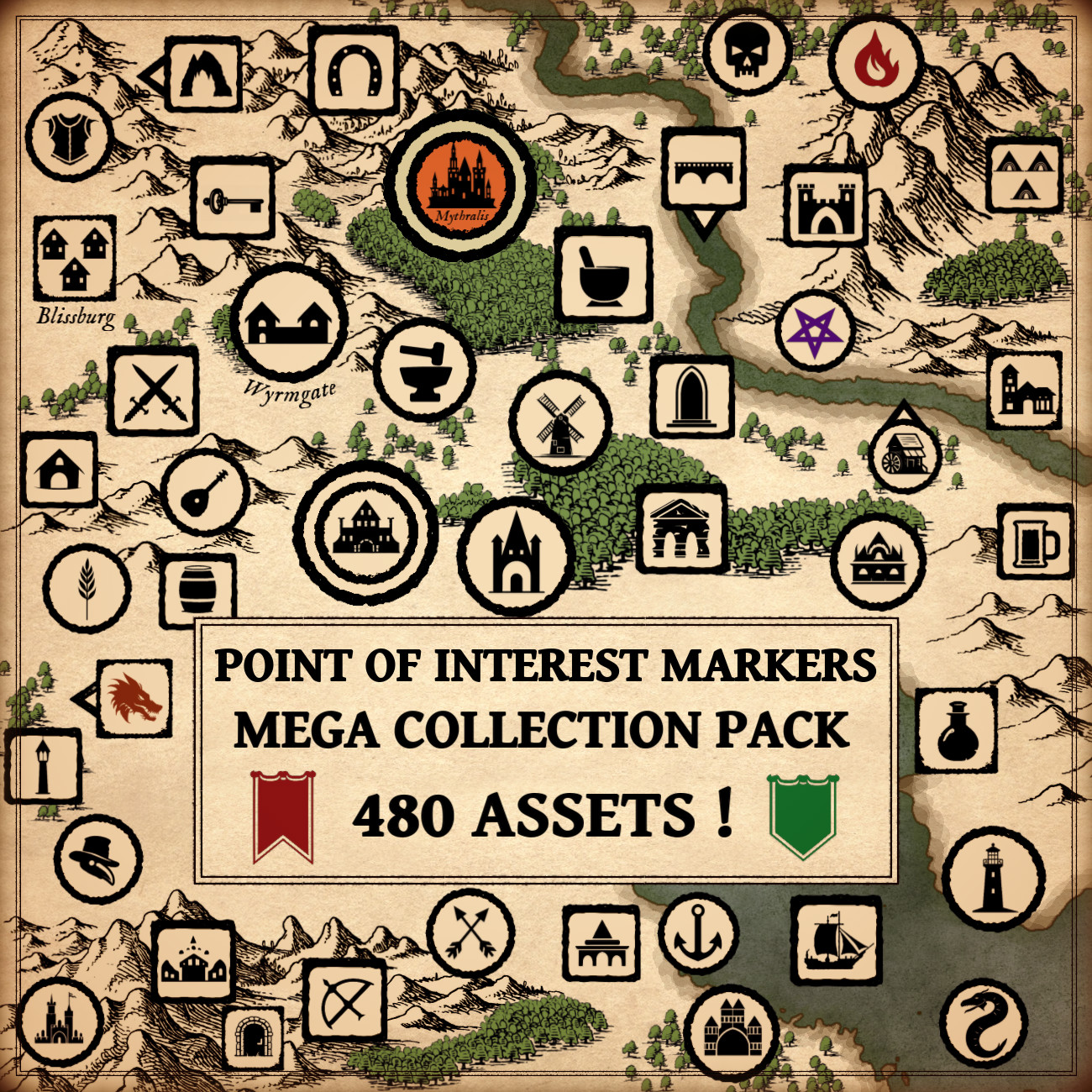
In the realm of fantasy and antique maps, the portrayal of towns, villages, castles, and a myriad of other landmarks in the form of intricate silhouettes has captivated cartographers and map enthusiasts alike. The marriage of functionality and artistry, inspired by both historical cartography and fantastical imaginings, finds a stunning embodiment in the Vintage Point of Interest Markers – Mega Landmarks Collection Pack.

BUY AND DOWNLOAD The Vintage Point of Interest Markers – Mega Landmarks Collection Pack :

Silhouettes in Historical Cartography: A Journey into the Past
The use of silhouettes to represent landmarks in maps is deeply rooted in the traditions of ancient cartography. Examining historical maps reveals a predilection for simplicity in conveying information, and silhouettes emerged as a powerful tool to achieve this. Early maps often featured silhouette-like representations of towns, castles, and natural features, providing a clear and concise overview for navigators and explorers.

One noteworthy example is the famed 16th-century map by Sebastian Münster, where towns and villages are elegantly depicted as distinct silhouettes against the landscape. This aesthetic choice not only facilitated navigation but also added an artistic flair to the maps of the time.

Fantasy Maps and Silhouette Elegance
Fast forward to the world of fantasy maps, and we witness a seamless integration of historical cartographic practices with imaginative elements. The Vintage Point of Interest Markers pack effortlessly captures the essence of old-world maps by presenting fantasy landmarks as captivating silhouettes. The collection includes everything from quaint villages and imposing castles to mythical creatures like dragons and sea serpents, all rendered in a classic black silhouette style reminiscent of antique cartography.

Utility and Culture: The Dual Role of Silhouette Landmarks
The utility of using silhouettes for point-of-interest markers extends beyond mere aesthetics. Silhouettes, with their simplicity and clarity, serve a practical purpose in aiding navigation and comprehension, particularly in densely packed maps. Whether for adventurers in a fantasy world or explorers of uncharted territories, the immediate recognition of landmarks is crucial, and silhouettes excel in this regard.

Culturally, the use of silhouettes in maps echoes a sense of tradition and nostalgia. It harks back to a time when cartography was as much an art form as it was a scientific endeavor. By emulating the visual language of antique maps, the Vintage Point of Interest Markers Megapack not only serves a functional purpose but also taps into a collective cultural memory, resonating with enthusiasts who appreciate the heritage of mapmaking.

Decorative Elements and Artistic Expression
Beyond their practical applications, silhouette landmarks contribute significantly to the aesthetic appeal of maps. The intricate detailing and artistic rendering of each silhouette in the collection transform maps into visual masterpieces. Whether adorning the walls of a fantasy novel enthusiast or serving as a key visual element in a tabletop role-playing game, these silhouettes enhance the overall visual experience and storytelling aspect of the maps.

Real and Fictional Inspirations: A Blend of Fact and Fantasy
To understand the roots of silhouette representations, one can look to historical maps such as the aforementioned works of Sebastian Münster or the iconic medieval Mappa Mundi. In fiction, maps from classic literature, like J.R.R. Tolkien‘s Middle-earth maps, continue this tradition. Tolkien’s maps, in particular, showcase the strategic use of silhouettes to highlight key locations in his fantastical world.

The Vintage Point of Interest Markers pack seamlessly weaves together these historical and fictional inspirations, creating a bridge between the tangible past and the boundless realms of imagination.

In Conclusion
The Vintage Point of Interest Markers – Mega Landmarks Collection Pack stands as a testament to the enduring legacy of silhouette representations in maps. From the practical advantages of aiding navigation to the cultural resonance of evoking historical cartographic traditions, these silhouettes encapsulate a rich tapestry of functionality, culture, and artistry. As maps continue to guide us through both real and imagined worlds, the timeless elegance of silhouettes ensures their place as indispensable elements in the cartographer’s toolkit.

Posted on Leave a comment

Cartography Assets and Point of Production Markers: Mapping the Resources

point of production and resources assets, cartography assets, vintage map symbols, wheat and gold ore

My fascination with the interplay of geography, culture, and resources has led me to explore the historical significance of representing points of production and resources on maps, be they fantastical realms or ancient landscapes.

In this article, we embark on a journey through the annals of cartography, from the maps of antiquity that detailed the world’s tangible riches to the enchanting fantasy realms where imagination knows no bounds. Along the way, we’ll uncover the historical importance of depicting points of production, ores, livestock, and resource-related activities on maps. To showcase the remarkable blend of history and fantasy in modern map-making, we will spotlight the Vintage Resources & Point of Production Markers/Landmarks – 150 Assets Megapack, a treasure trove of elements that pay homage to the aesthetics of antique maps.

BUY AND DOWNLOAD The Vintage Resources & point of production markers / landmarks – 150 assets Megapack :

Points of Production on Antique Maps

Long before the advent of Google Maps and GPS technology, cartographers meticulously documented the sources of essential resources on their maps. These maps served not only as navigation aids but also as invaluable references for merchants, explorers, and rulers. Points of production, such as wheat farms, plantations, and hunting grounds, were crucial for understanding the economic and strategic landscape of an area.

Agriculture: Wheat, corn, cotton, cocoa, coffee, and spices were depicted as symbols on antique maps, often with intricate details highlighting their cultivation regions. These representations played a pivotal role in trade routes and the movement of agricultural goods across empires.

Livestock: Maps of the past featured icons for cows, goats, hogs, sheep, and horses, providing insight into regions known for their livestock breeding. This information was vital for provisioning armies and assessing the availability of draft animals for agriculture.

Resource Production: Woodcutters, smiths/ironworks, and alchemists’ workshops were often marked on maps, reflecting the areas of resource extraction and processing. These markers helped societies manage their supply chains and resource utilization efficiently.

Mining: Mines for gold, iron, silver, copper, and other ores were prominent features on maps of ancient civilizations. These mines were sources of great wealth and strategic importance.

Fantasy Maps: Blending Imagination and History

Fast forward to the present, and fantasy maps have taken the art of cartography to new heights. The boundaries of the real world are no constraints for fantasy map-makers who craft realms brimming with magic, mythical creatures, and abundant resources. The Vintage Resources & Point of Production Markers/Landmarks – 150 Assets Megapack is a testament to this creative fusion of history and imagination.

Resource Abundance: In fantasy realms, markers for bees/honey, cocoa, coffee, spices, cotton, and other exotic resources transport us to lands teeming with fantastical flora and fauna. These markers evoke the allure of uncharted territories and the allure of otherworldly commodities.

Farm animals and Craftsmanship: Landmarks for animal groups, such as cows, goats, hogs, sheep, and horses, are essential in fantasy maps, reflecting the diversity of livestock. Smiths, alchemists, and woodcutters’ landmarks hint at the craftsmanship and industry of fantasy worlds.

Mineral Riches: Fantasy maps often depict mines and ore markers for gold, iron, silver, copper, and other magical materials. These resources hold mystical properties and are coveted by heroes and villains alike.

Agricultural Wonders: In the realm of fantasy, markers for corn, plantations, tea, potatoes, and more illustrate the enchanting crops and agricultural marvels that sustain diverse civilizations.

Conclusion

Maps, whether antique or fantasy, serve as windows into the worlds they represent. Points of production and resource markers on maps are more than just symbols; they are a testament to the interplay of history, culture, and geography. The Vintage Resources & Point of Production Markers/Landmarks – 150 Assets Megapack seamlessly bridges the gap between the rich traditions of antique cartography and the boundless imagination of fantasy worlds. It is a treasure trove for map-makers and enthusiasts, a bridge between the past and the fantastical, inviting us to explore the wondrous realms of our dreams while honoring the heritage of cartographic craftsmanship.