Posted on Leave a comment

Antiquity Maps Reimagined: Cartography Assets of the Roman Empire & Ancient Greece

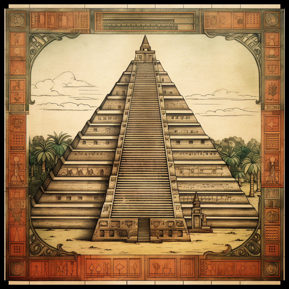
wonderdraft assets, Roman Empire and Ancient Greece towns, settlements, arenas, temples, sanctuaries, fantasy map assets

I have always marveled at the representations of cities, arenas, settlements, and architectural styles inspired by the Roman Empire and ancient Greece. These elements play a pivotal role in shaping the worlds of fantasy maps. In this article, we’ll explore the historical and mystical aspects that influence the creation of fantasy maps, giving special attention to the architecture of the Roman and Greek ancient worlds.

BUY AND DOWNLOAD The Roman Empire & Ancient Greece Settlements and Towns – Vintage Assets Pack :

Architectural Styles of the Roman Empire and Ancient Greece

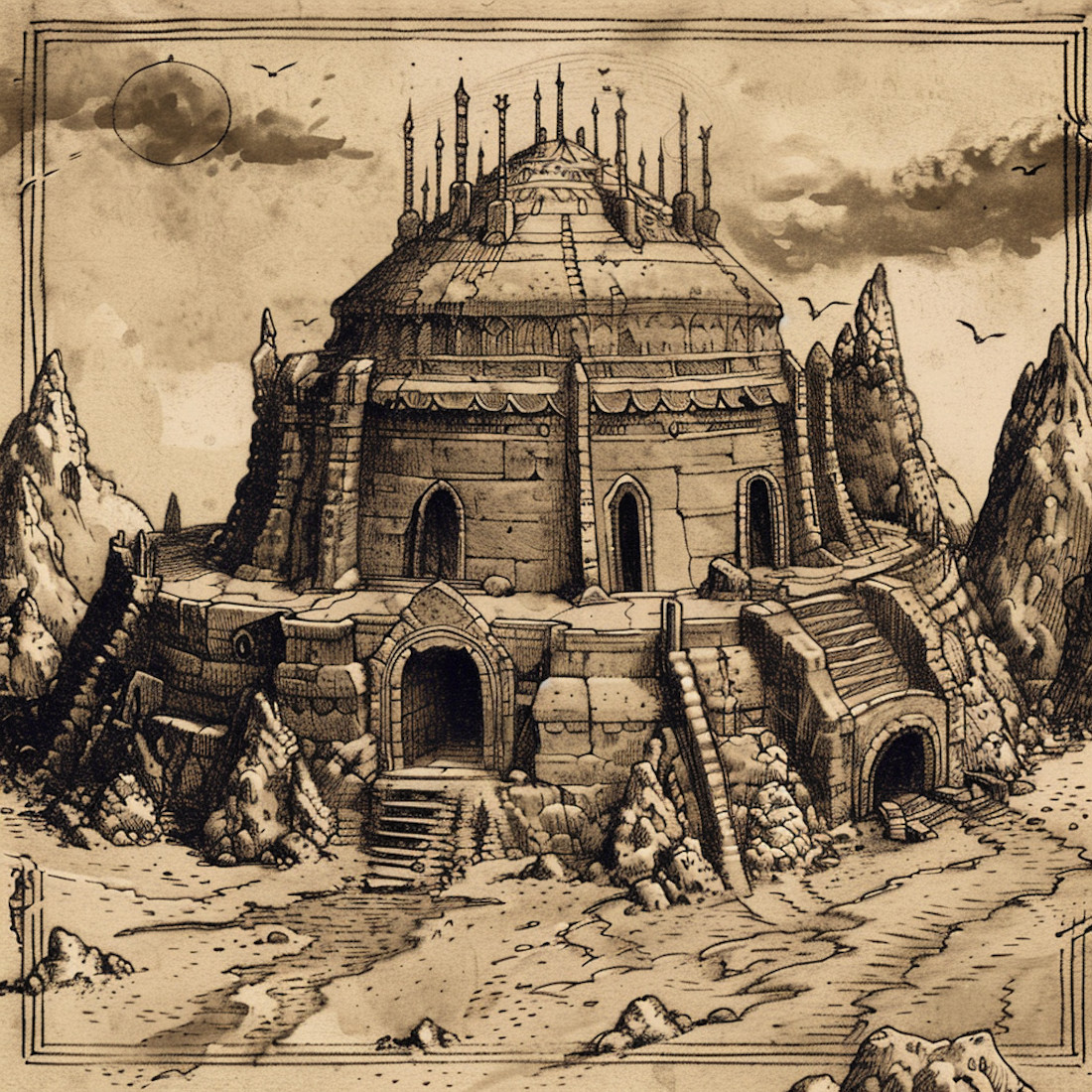
The architectural grandeur of the Roman Empire and the classical elegance of ancient Greece have left an indelible mark on the world of fantasy cartography. In these fantastical realms, cities sometimes mirror the grand cities of antiquity, and temples replicate the intricate designs of Roman and Greek places of worship. The style of buildings and structures from these civilizations significantly influences the aesthetics of these maps.

In the Roman tradition, we see the majesty of arenas, forts, palaces, and villas reflected in the fantasy world. The distinctive arches, columns, and domes of Roman architecture are often integrated into these maps, creating a sense of grandeur and historical richness. Settlements, villages, and towns often incorporate elements of Roman city planning and building styles.

Similarly, the enchanting architecture of ancient Greece, with its graceful columns, triangular pediments, and simplicity of design, finds its way into fantasy maps. Temples in these maps are often reminiscent of the Parthenon, exuding a sense of mysticism and religious significance.

Mysticism of the Roman and Greek Worlds

The Roman Empire and ancient Greece were not just known for their architectural marvels, but also for their mystical beliefs and practices. The presence of oracles, secret sects, and worship of dark deities added layers of intrigue to these civilizations, which have inspired the mysticism found in fantasy maps.

Oracles, like the Oracle of Delphi, often appear as enigmatic and mystical locations in these maps. They serve as sources of wisdom and foretelling, adding depth to the worlds they inhabit. The depiction of cults and sects dedicated to obscure gods and goddesses adds an air of secrecy and suspense to the narrative.

Portals to the Tartarus, the deepest abyss of the underworld in Greek mythology, provide exciting plot devices in fantasy maps. These gateways to other dimensions allow for the exploration of dark and mysterious realms, making them essential elements in the world-building process.

Megaliths, ancient stone structures with cryptic purposes, are another facet of antiquity that finds its place in fantasy cartography. These enigmatic formations serve as landmarks, mystery sites, or sources of power in the maps.

The Roman and Greek Temples

The temples of the Roman and Greek eras have a special place in the world of fantasy maps. The faithful representation of these sacred places, often modeled after famous real-world temples, is essential to creating a sense of wonder and spirituality in the map’s world. Whether it’s the towering columns of a Greek temple or the intricate design of a Roman sanctuary, these structures are imbued with a sense of reverence and mystique.

Roman Empire & Ancient Greece Settlements and Towns Assets Pack

The Roman Empire & Ancient Greece Settlements and Towns Assets Pack is a treasure trove for fantasy mappers. With 99 assets inspired by the architectural styles of ancient Rome and Greece, this pack breathes life into the fantasy worlds it populates. Featuring arenas, settlements, megaliths, towns, villages, hamlets, cities, temples, sanctuaries, Roman palaces, forts, mountain forts, Roman castles, villas, interdimensional antique portals, and various structures, this collection is a testament to the historical and mystical influences on fantasy cartography.

Conclusion

In the realm of fantasy maps, the architectural grandeur of the Roman Empire and the classical elegance of ancient Greece, along with their mystical beliefs and practices, continue to be a source of inspiration. The Roman Empire & Ancient Greece Settlements and Towns Assets Pack brings these elements to life, allowing map creators to craft intricate, immersive worlds that pay homage to these ancient civilizations. With the rich tapestry of history and mysticism at their fingertips, fantasy mappers can continue to transport us to extraordinary realms that echo the grandeur of Rome and the enchantment of Greece.

Posted on Leave a comment

Exploring Fantasy Map Symbols: The Wonders of Mountains and Hills

mountains ranges and hills, fantasy map assets, wonderdraft assets and symbols, etching illustration

Maps have been pivotal tools for exploration, navigation, and storytelling throughout history. They combine practical utility with artistic expression, drawing inspiration from both the real world and the realms of imagination. In the realm of cartography, antique maps provide a rich source of inspiration for fantasy maps, fostering a bridge between history and creativity. This article delves into the significance of mountains, hills, and related features in both antique and fantasy maps, while showcasing the Ultimate Vintage Mountains & Mountain Ranges + Hills – 265 Assets Megapack, a collection that lovingly echoes the classic cartographic style.

BUY AND DOWNLOAD The Ultimate Vintage Mountains & Mountain Ranges + Hills – 265 Assets Megapack :

Mountains and Hills in Antique Maps

Antique maps are windows into the past, displaying a blend of geographical knowledge and artistic interpretation. The representation of mountains, hills, and related terrain features in these historical maps evolved over time and varied across cultures, but certain themes persisted:

Mountain Ranges: Antique maps often portrayed mountain ranges as towering, jagged formations. The Alps, illustrated in Ptolemy’s Geographia in the 2nd century, provide an early example of this style, with hatched lines indicating elevation.

Hill Ranges: Hills were depicted with gentler slopes compared to mountains, reflecting their smaller scale. A notable example is the “Tabula Rogeriana” by Muhammad al-Idrisi, where terrain features are illustrated with a mixture of artistic impression and geographical accuracy.

Individual Mountains: Prominent peaks, like Mount Fuji in Japanese Edo period maps, were detailed meticulously, often becoming iconic symbols of the region.

Rocky Isles: Coastal maps included rocky isles and outcrops, such as those found in the 16th-century maps of the Mediterranean by Abraham Ortelius, enriching the maritime landscape.

Pinnacles: Antique maps frequently featured towering pinnacles at mountain summits, as seen in the map of the Himalayas from the early 19th century, adding an element of grandeur and mystique.

Mountain Caves: Maps of famous caves or entrances, like those found in the legendary journeys of Sinbad the Sailor, often intrigued readers with their potential for adventure and discovery.

Fantasy Maps and the Ultimate Vintage Mountains & Mountain Ranges + Hills Megapack

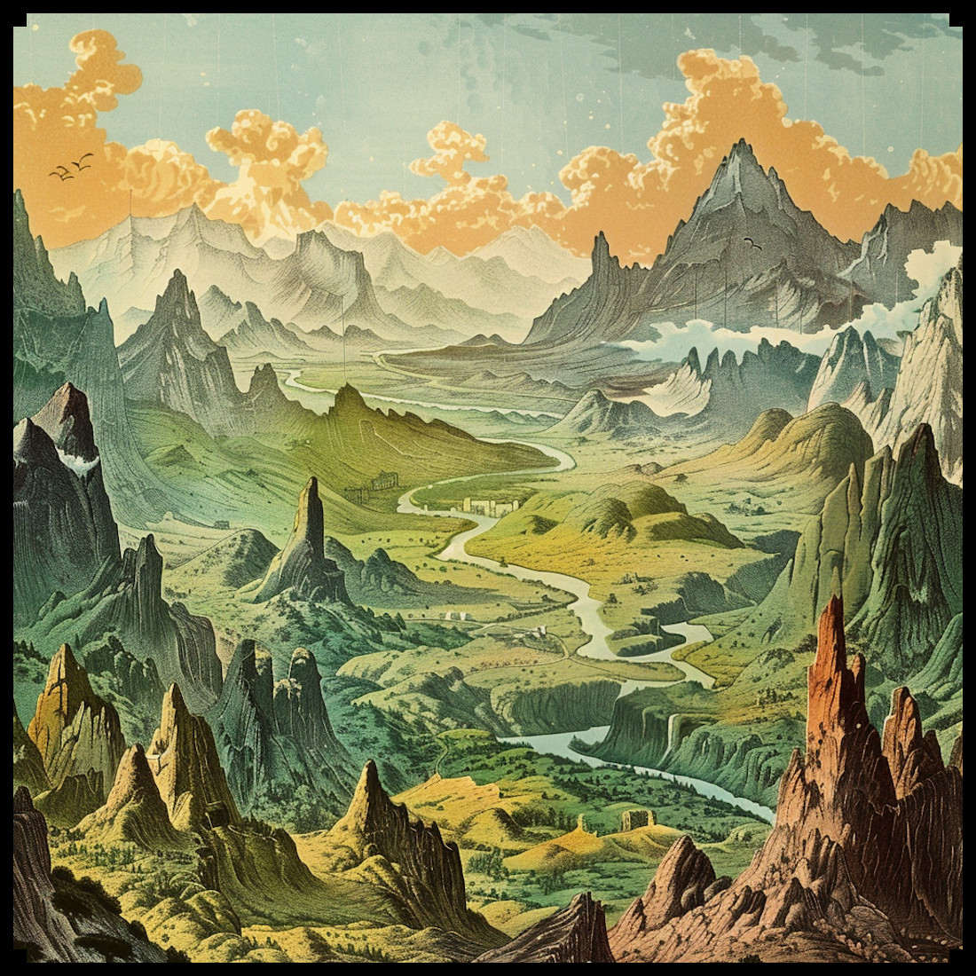
Fast forward to the world of fantasy maps, where cartographers and world-builders craft imaginary realms replete with magic and adventure. The Ultimate Vintage Mountains & Mountain Ranges + Hills – 265 Assets Megapack breathes new life into antique cartographic aesthetics, offering a cornucopia of elements to aid modern fantasy map creators.

This remarkable collection includes an array of assets that impeccably recreate the antique map style:

Mountain Ranges and Hill Ranges: Drawing inspiration from classics like Abraham Ortelius’s “Theatrum Orbis Terrarum,” these assets echo the bold lines and intricate detail that convey an epic scale in fantasy maps.

Individual Mountains and Hills: Each peak and hill within the megapack boasts intricate craftsmanship reminiscent of prominent terrain features in antique maps.

Karst Mountains: These unique formations, akin to those found in limestone-rich regions like the Dinaric Alps, offer a geological authenticity to fantasy landscapes.

Foothills: The gradual ascent from lowlands to towering peaks, evident in maps like John Rocque’s 18th-century surveys, grants fantasy maps depth and perspective.

Peaks and Pinnacles: Evoking the breathtaking heights of the Matterhorn in Swiss cartography, these assets infuse fantasy landscapes with drama and mystery.

Rocky Isles: Just as islands and coastal features were integral to ancient portolan charts, these rocky isles embellish the coasts of fantasy worlds, enhancing immersion.

Caves and Cave Entrances: Caverns, like those documented in Chinese silk maps dating back to the 3rd century BCE, foster a sense of exploration and intrigue, mirroring the mystique of their historical counterparts.

Special Mountains: Symbolic peaks, reminiscent of Mount Olympus in ancient Greek mythology, offer a compelling focal point or adventure destination within a fantasy realm.

Conclusion

Fantasy maps, like their antique counterparts, owe much of their artistic flair and imaginative power to the traditions of old-world cartography. The Ultimate Vintage Mountains & Mountain Ranges + Hills – 265 Assets Megapack stands as a testament to the enduring influence of antique maps on contemporary fantasy cartography. These assets not only capture the essence of antique maps but also empower creators to conjure captivating, imaginative worlds replete with mountains, hills, and other terrain features that have shaped cartographic history. In this timelessly blended tapestry of the past and the present, fantasy maps continue to inspire and transport us to uncharted realms limited solely by the frontiers of our imagination.

Posted on Leave a comment

The Dark Art of Cartography: A Historical Perspective on Demons, Tentacles, and Demonic Realms in fantasy map symbols

wonderdraft assets, fantasy map symbols, demonic pumpkins, demons and lovecraftian creatures, horror

For decades, fantasy enthusiasts have been captivated by the allure of maps that teem with demons, tentacles reaching from the earth, possessed cities and colonies, blood-red organic structures, and mysterious paranormal rifts leading to otherworldly dimensions. These macabre elements have a rich historical context, connecting the worlds of antique maps and the dark fantasies of the present day. In this article, we explore the fascinating history of these motifs and their significance in the realm of cartography, culminating in the unveiling of the Creepy Demonic Vintage Horror Assets Pack – Halloween Special 137 Assets Megapack.

BUY AND DOWNLOAD The Creepy Demonic Vintage Horror Assets Pack – Halloween Special 137 assets Megapack :

Antique Maps: Portals to the Unknown

Antique maps, crafted in the centuries past, often bore witness to a world full of uncharted territories, mystique, and fear of the unknown. These maps reflected the beliefs and superstitions of their time, often incorporating elements of mythology, religion, and folklore. Demons and other supernatural entities were not uncommon additions to these maps, symbolizing the foreboding nature of unexplored lands.

For example, the ancient Here be Dragons phrase, often accompanied by illustrations of monstrous creatures, served as a warning and testament to the fears of sailors venturing into uncharted waters. This reflects the enduring fascination with the supernatural and the otherworldly that has continued to influence modern fantasy cartography.

The Middle Ages and Demonic Imagery

The Middle Ages, with its rich tradition of demonology, played a pivotal role in shaping our modern conception of demons. Texts like Malleus Maleficarum and depictions of demons in medieval manuscripts added layers of complexity to the perception of evil. Artists and mapmakers during this time integrated demonic imagery into their works, portraying towns, villages, and even entire regions as infested with malevolent forces.

One well-known example is the Ebstorf Map, a circular mappa mundi from the 13th century with the face of Christ depicted at the top of the map. Along its outer edges, grotesque demons and sinners are depicted in an attempt to illustrate the notion of the known world’s perils.

The Resurgence of Demonic Cartography

Fast-forward to the present day, and we find a resurgence of these dark elements in the world of fantasy cartography. The Creepy Demonic Vintage Horror Assets Pack is a prime example of how artists and creators are paying homage to antique maps, bringing the old-world charm of demonic symbols into the digital age.

This asset pack includes a plethora of creepy lairs, demonic towns, villages, rifts, castles, dungeons, mountains, dead trees, carnivorous plants, bloody structures, tentacles, demons, and more. Each asset is meticulously designed to evoke the eerie aesthetics of antique maps, ensuring that every map created with these assets tells a chilling story.

Connecting the Past and Present

The connection between ancient demonology and cartography is evident in the enduring fascination with maps that convey an ominous and mystical aura. The Creepy Demonic Vintage Horror Assets Pack bridges the gap between the historical roots of these motifs and the modern fantasy genre, offering creators a powerful tool to bring their dark and imaginative worlds to life.

Conclusion

In the world of fantasy and antique maps, the allure of demons, tentacles, possessed cities, and paranormal rifts has a deep historical context that continues to captivate our imagination. The Creepy Demonic Vintage Horror Assets Pack pays homage to this tradition, offering a treasure trove of assets that evoke the eerie charm of antique maps. As we create new realms filled with dark enchantment, we are reminded of the enduring connection between cartography, demonology, and our insatiable curiosity for the unknown.

Posted on Leave a comment

Medieval and Fantasy City Cartography : A Journey through Time and Imagination

medieval city map assets pack, wonderdraft assets, etching illustration, fantasy map symbols

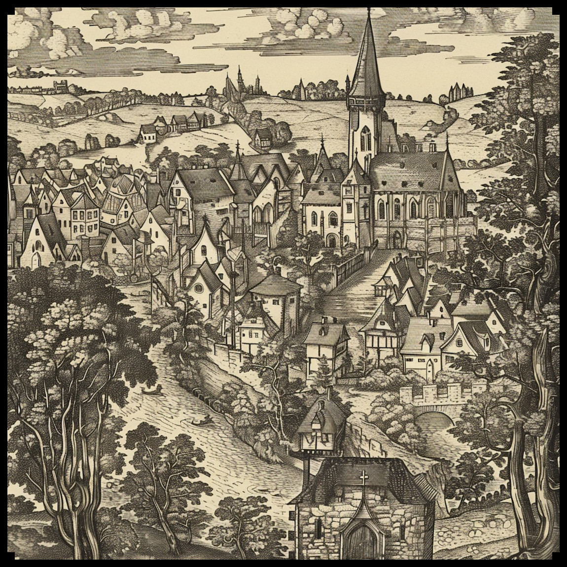
As an enthusiast of historical cartography and a fervent admirer of fantasy maps, I find great pleasure in exploring the intricate representations of medieval cities on ancient maps. These maps, often characterized by their detailed depictions of fortified cities, offer us a fascinating glimpse into the urban landscapes of bygone eras. In this article, we’ll embark on a journey through history and imagination, delving into the evolution of city mapping and the enchanting world of fantasy maps. We will also shed light on a remarkable asset pack titled Old Cartography Medieval Town Parts & Surroundings Assets – 349 assets MEGAPACK, which beautifully encapsulates the essence of medieval urban life.

BUY AND DOWNLOAD The Old Cartography Medieval Town Parts & Surroundings Assets – 349 assets MEGAPACK :

Medieval City Mapping: A Historical Perspective

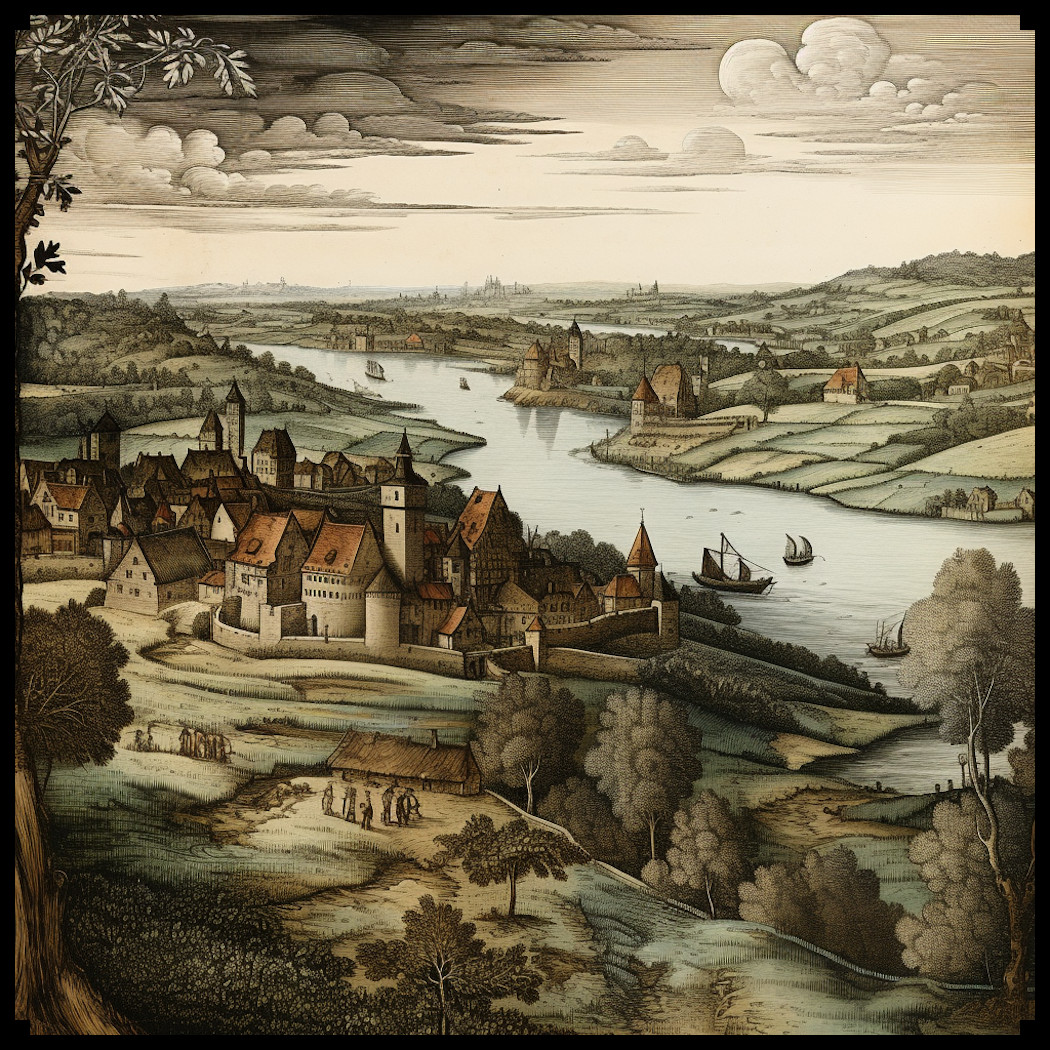
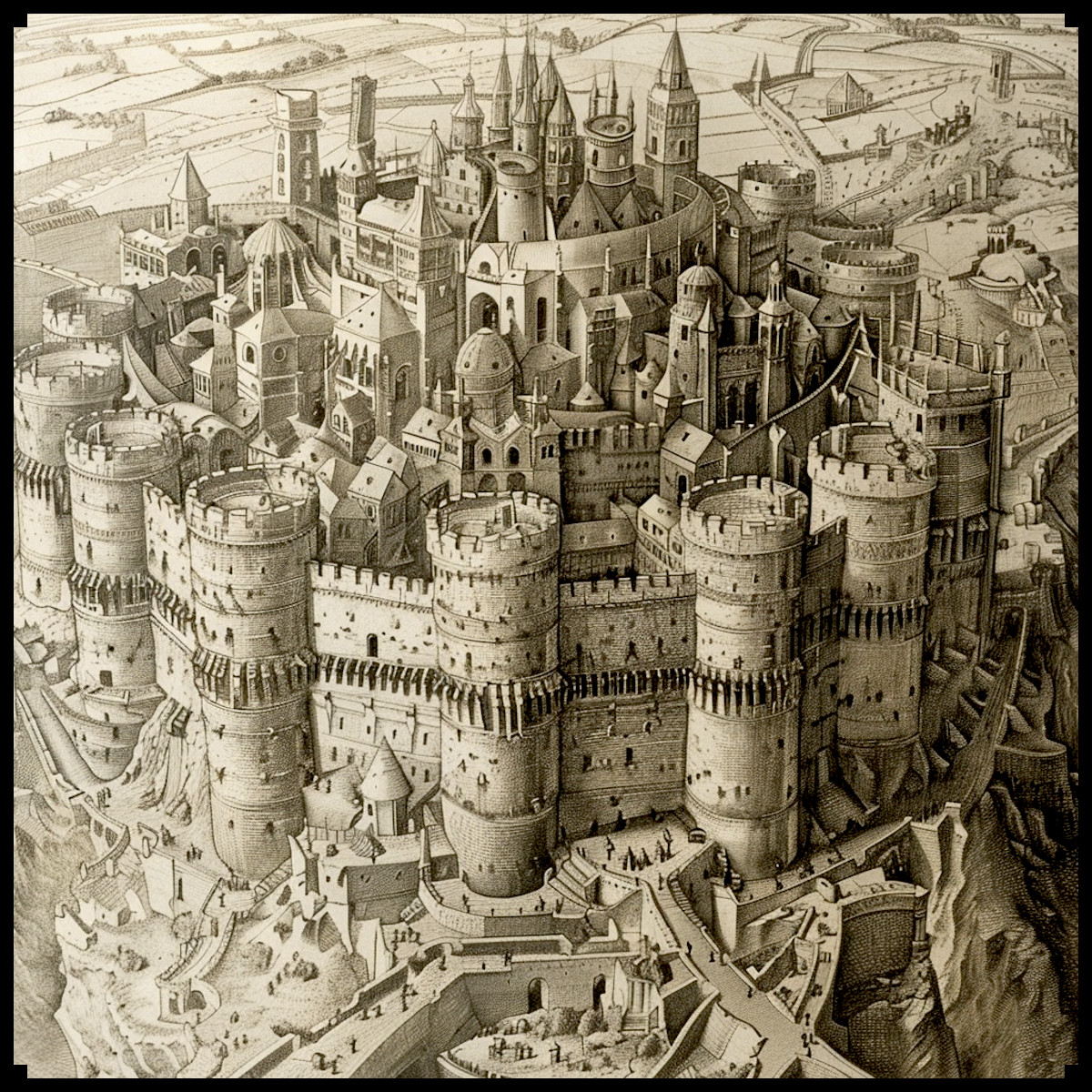
Medieval city maps, known for their meticulous attention to detail, often featured distinctive elements that set them apart from modern cartography. One of the most striking features was the representation of fortified cities with a unique perspective. This perspective, known as “bird’s-eye view” or “axonometric projection,” allowed cartographers to depict the facades and roofs of buildings simultaneously, providing viewers with a comprehensive understanding of the city’s layout. This technique not only showcased the architecture but also highlighted the hierarchical organization of the city into different districts or quarters.

Ramparts, Towers, and Gates: The Heart of Medieval Cities

The fortified nature of medieval cities was a prominent feature, and maps of the time did not shy away from showcasing these imposing structures. Ramparts or city walls, often adorned with crenellations, were depicted as protective shields encircling the urban center. Towers, both defensive and ornamental, dotted the walls at regular intervals, serving as watchtowers and symbols of power. Gates, with their intricate designs and portcullises, were the main entrances to these cities, each telling a story of its own.

The asset pack mentioned earlier, Old Cartography Medieval Town Parts & Surroundings Assets Megapack, perfectly captures the essence of these features, allowing modern map creators to evoke the spirit of medieval cityscapes.

Life in the City: Citizens and Surroundings

Medieval city maps went beyond mere architectural representations; they infused life into the urban sprawl. Tiny figures, representing city dwellers, were often depicted engaged in various activities, such as trading, socializing, or even strolling with their dogs. This human touch added vibrancy to the maps and offered a glimpse into the daily life of medieval citizens.

The surroundings of these cities were equally important and were often depicted with meticulous care. The countryside, rolling hills, and sometimes even distant forests framed the urban center, giving a sense of the city’s connection to its hinterland. Portrayals of bustling docks and harbors, with ships and rowboats, emphasized the importance of trade and commerce.

Fantasy Maps: A World of Imagination

While medieval city maps offer a window into the past, fantasy maps transport us to worlds of boundless imagination. These maps, often found in the pages of epic fantasy novels, serve as gateways to fictional realms filled with enchanted cities, mystical landscapes, and mythical creatures. In many ways, they draw inspiration from the rich tradition of medieval cartography, blending historical elements with imaginative flair.

Conclusion

In the realm of cartography, the representations of medieval cities on ancient maps and the enchanting allure of fantasy maps share a common thread of creativity and imagination. The Old Cartography Medieval Town Parts & Surroundings Assets pack, with its meticulously crafted assets, bridges the gap between these two worlds, allowing modern map creators to craft captivating cityscapes that resonate with the spirit of the past and the wonder of fantasy. Whether you’re a historian fascinated by the intricacies of medieval urban life or a fantasy enthusiast yearning to explore uncharted territories, thhis assets megapack offer a captivating journey through time and imagination, where the past and the fantastical converge in harmony.

Posted on Leave a comment

Why Use Viking and Nordic Cartography Assets in Our Fantasy Maps?

etching illustration of viking nordic towns with longship, fantasy map assets, wonderdraft assets and symbols

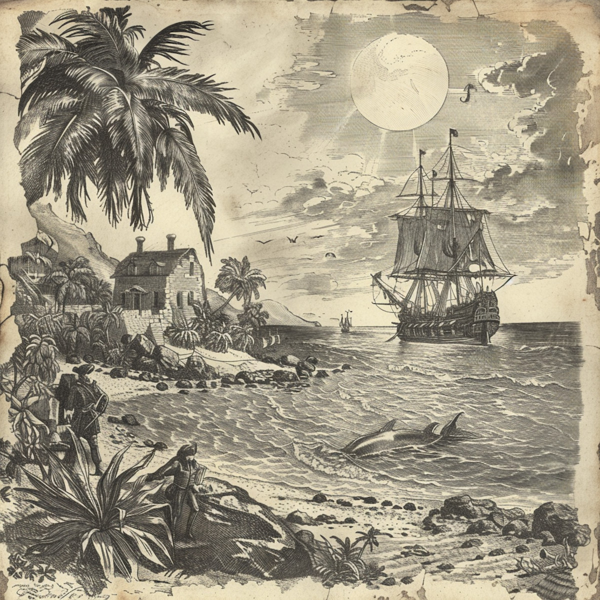
In the realm of fantasy cartography, the depiction of Viking longships, fortified wooden Nordic and Viking towns and settlements, as well as the grandeur of Norse castles and forts, holds a special place. These elements not only contribute to the aesthetic appeal of fantasy maps but also evoke a sense of cold, rugged, and untamed landscapes. In this article, we delve into the historical significance and visual impact of these elements, particularly in the context of fantasy maps, with a special focus on the Vintage Fortified Nordic & Viking Settlements – 129 assets Megapack (+ longships + creator kit!)—an asset pack that faithfully recreates these features in the style of antique maps.

BUY AND DOWNLOAD The Vintage Fortified Nordic & Viking Settlements – 129 assets Megapack ( + longships + creator kit !) :

Fortified Wooden Nordic and Viking Towns and Settlements

Nordic and Viking settlements were often constructed in harsh, cold, and arid environments, where resources were limited. As a result, the architecture of these settlements predominantly featured fortified wooden structures. These towns and villages, surrounded by wooden palisades and watchtowers, were designed to withstand both the elements and potential attacks from rival clans or marauders. In fantasy maps, these fortified settlements create an atmosphere of resilience and isolation, where communities huddle together in a harsh world. The use of wood in their construction also adds a rustic charm that resonates with fans of nordic fantasy settings, where the architecture is heavily influenced by Nordic and Viking motifs.

Fortified Stone Nordic and Viking Towns and Settlements

While wooden fortifications were common, stone fortifications were also a part of Nordic and Viking architecture. Stone walls, ramparts, and towers were constructed to protect strategic locations and harbors. In fantasy maps, the inclusion of fortified stone towns and settlements contrasts with the wooden ones, symbolizing a more established and formidable presence. These stone structures speak to the enduring nature of Nordic and Viking civilizations, which left lasting historical legacies across Europe.

Norse Castles and Forts: Strongholds of Power

Norse castles and forts were the pinnacle of Viking architecture. These imposing structures, often perched on cliffs overlooking the sea, were both defensive fortresses and symbols of authority. They evoke a sense of grandeur and dominance, making them compelling features on fantasy maps. Whether as the lair of a powerful ruler or the goal of a daring quest, Norse castles and forts bring an air of intrigue and drama to the fantasy world.

The Viking Longships: Symbols of Exploration

Viking longships, characterized by their long, narrow design and distinctive prows, were the quintessential vessels of exploration and raiding for the Norse seafarers. These ships played a pivotal role in shaping the Viking Age, allowing them to reach distant shores and establish settlements in lands as far-reaching as Iceland, Greenland, and even Vinland (North America). In fantasy maps, the inclusion of Viking longships invokes a sense of adventure and daring, as if the viewer is embarking on a journey to uncharted territories, mirroring the Vikings’ bold spirit.

The Creator Kit: Empowering Imagination

The Vintage Fortified Nordic & Viking Settlements asset pack not only includes pre-designed elements but also a creator kit. This kit empowers fantasy map makers to craft their own symbols of fortified Viking and Nordic towns and settlements. It allows for customization, enabling map creators to infuse their unique artistic vision into their maps while maintaining the vintage aesthetic.

Conclusion

In the realm of fantasy mapmaking, the inclusion of Viking longships, fortified Nordic and Viking settlements, and Norse castles and forts brings a rich historical depth and a captivating visual allure. These elements transport viewers to a world of cold, grandeur, and rugged beauty, much like the lands of Skyrim. The Vintage Fortified Nordic & Viking Settlements – 129 assets Megapack (+ longships + creator kit!) offers a treasure trove of resources for map creators, allowing them to craft immersive fantasy worlds that resonate with the enduring legacy of the Vikings and the Nordic peoples. So, whether you’re embarking on a virtual exploration or creating your own fantasy realm, these assets are sure to leave a lasting impression on the map and the imagination.

Posted on Leave a comment

Exploring Fantasy Map Symbols : The Mighty Orcs and Barbarian Settlements

illustration of orcish and fortified barbarian village, fantasy map symbols, cartography assets

In the realm of cartography, there exists a fascinating intersection between the worlds of fantasy and antiquity. Maps, both in ancient times and within the realm of fantasy, have often served as repositories of knowledge, storytelling, and artistic expression. Among the most captivating features found on these maps are the fortified Orcish and Barbarian settlements, which have not only shaped the landscapes of imagination but also mirrored the realities of ancient civilizations. In this article, we will delve into the historical and creative significance of these fortified settlements, with a focus on their portrayal in both antique and fantasy maps. Additionally, we will highlight the Vintage Fortified Orcish & Barbarian Settlements – 132 assets Megapack (+ creator kit!) that captures the essence of these settlements in the style of antique maps.

BUY AND DOWNLOAD The Vintage Fortified Orcish & Barbarian Settlements – 132 assets Megapack ( + creator kit !) :

Orcish civilization, often depicted as fierce and warlike, found its roots in fantasy literature and role-playing games. However, the concept of fortifying their settlements has historical parallels in the real world. The Great Wall of China, for instance, can be likened to the defensive structures of some Orcish settlements. These fortifications were not only practical but also symbols of strength and resilience in the face of adversity.

Barbarian civilizations, on the other hand, often conjure images of nomadic tribes and rugged lifestyles. In history, various tribes across the globe erected formidable strongholds and hill forts to protect their communities. These structures reflected the resourcefulness and adaptability of the Barbarian way of life.

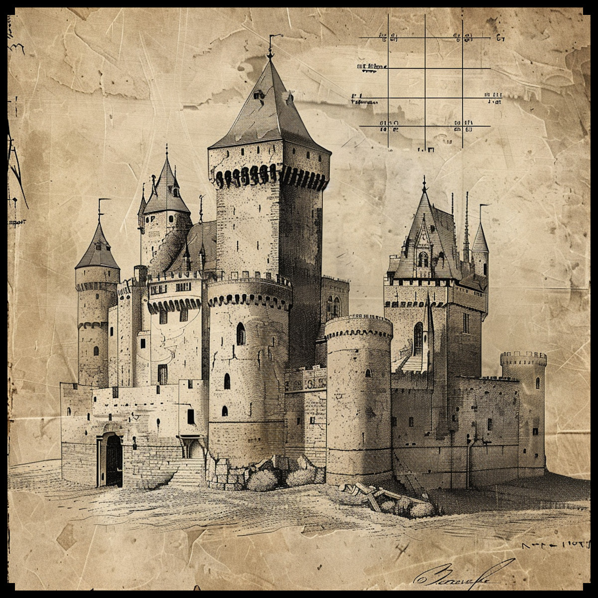
In the realm of fantasy, Orcish settlements are characterized by imposing fortresses, thick walls, and a menacing aura. The Vintage Fortified Orcish & Barbarian Settlements Megapack captures these elements beautifully, with assets that include Orcish fortified cities, towns, hamlets, forts, and castles. These settlements often serve as central locations in epic quests and campaigns, providing a rich backdrop for storytelling.

Barbarian settlements, as depicted in fantasy maps, exude a raw, primal energy. The Megapack also features Barbarian castles, forts, villages on hills, and towers, echoing the ruggedness and simplicity of Barbarian architecture. These settlements often embody themes of freedom, survival, and the untamed spirit of the wilderness.

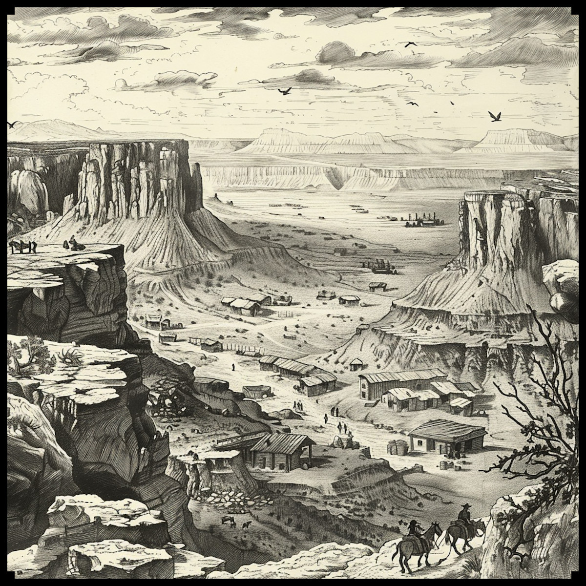
The Vintage Fortified Orcish & Barbarian Settlements Megapack not only pays homage to the historical context of these settlements but also adopts the artistic style of antique maps. Antique maps, with their intricate illustrations, evoke a sense of nostalgia and wonder. By infusing fantasy maps with this aesthetic, creators bridge the gap between the worlds of imagination and reality, inviting viewers to explore and immerse themselves in these fantasy realms with a touch of historical charm.

Conclusion

In the ever-evolving world of cartography and fantasy, the representation of fortified Orcish and Barbarian settlements plays a pivotal role. These settlements, rooted in history and brought to life through creative imagination, enrich the landscapes of both antique and fantasy maps. The Vintage Fortified Orcish & Barbarian Settlements – 132 assets Megapack (+ creator kit!) captures the essence of these settlements, offering cartographers and fantasy enthusiasts a unique opportunity to explore, create, and appreciate the intricate architecture and rich storytelling potential that these fortified settlements bring to the map-making process. Whether in the annals of history or the realms of fantasy, these settlements continue to be enduring symbols of strength, resilience, and the human capacity for creative expression.

Posted on Leave a comment

Cartography Assets and Point of Production Markers: Mapping the Resources

point of production and resources assets, cartography assets, vintage map symbols, wheat and gold ore

My fascination with the interplay of geography, culture, and resources has led me to explore the historical significance of representing points of production and resources on maps, be they fantastical realms or ancient landscapes.

In this article, we embark on a journey through the annals of cartography, from the maps of antiquity that detailed the world’s tangible riches to the enchanting fantasy realms where imagination knows no bounds. Along the way, we’ll uncover the historical importance of depicting points of production, ores, livestock, and resource-related activities on maps. To showcase the remarkable blend of history and fantasy in modern map-making, we will spotlight the Vintage Resources & Point of Production Markers/Landmarks – 150 Assets Megapack, a treasure trove of elements that pay homage to the aesthetics of antique maps.

BUY AND DOWNLOAD The Vintage Resources & point of production markers / landmarks – 150 assets Megapack :

Points of Production on Antique Maps

Long before the advent of Google Maps and GPS technology, cartographers meticulously documented the sources of essential resources on their maps. These maps served not only as navigation aids but also as invaluable references for merchants, explorers, and rulers. Points of production, such as wheat farms, plantations, and hunting grounds, were crucial for understanding the economic and strategic landscape of an area.

Agriculture: Wheat, corn, cotton, cocoa, coffee, and spices were depicted as symbols on antique maps, often with intricate details highlighting their cultivation regions. These representations played a pivotal role in trade routes and the movement of agricultural goods across empires.

Livestock: Maps of the past featured icons for cows, goats, hogs, sheep, and horses, providing insight into regions known for their livestock breeding. This information was vital for provisioning armies and assessing the availability of draft animals for agriculture.

Resource Production: Woodcutters, smiths/ironworks, and alchemists’ workshops were often marked on maps, reflecting the areas of resource extraction and processing. These markers helped societies manage their supply chains and resource utilization efficiently.

Mining: Mines for gold, iron, silver, copper, and other ores were prominent features on maps of ancient civilizations. These mines were sources of great wealth and strategic importance.

Fantasy Maps: Blending Imagination and History

Fast forward to the present, and fantasy maps have taken the art of cartography to new heights. The boundaries of the real world are no constraints for fantasy map-makers who craft realms brimming with magic, mythical creatures, and abundant resources. The Vintage Resources & Point of Production Markers/Landmarks – 150 Assets Megapack is a testament to this creative fusion of history and imagination.

Resource Abundance: In fantasy realms, markers for bees/honey, cocoa, coffee, spices, cotton, and other exotic resources transport us to lands teeming with fantastical flora and fauna. These markers evoke the allure of uncharted territories and the allure of otherworldly commodities.

Farm animals and Craftsmanship: Landmarks for animal groups, such as cows, goats, hogs, sheep, and horses, are essential in fantasy maps, reflecting the diversity of livestock. Smiths, alchemists, and woodcutters’ landmarks hint at the craftsmanship and industry of fantasy worlds.

Mineral Riches: Fantasy maps often depict mines and ore markers for gold, iron, silver, copper, and other magical materials. These resources hold mystical properties and are coveted by heroes and villains alike.

Agricultural Wonders: In the realm of fantasy, markers for corn, plantations, tea, potatoes, and more illustrate the enchanting crops and agricultural marvels that sustain diverse civilizations.

Conclusion

Maps, whether antique or fantasy, serve as windows into the worlds they represent. Points of production and resource markers on maps are more than just symbols; they are a testament to the interplay of history, culture, and geography. The Vintage Resources & Point of Production Markers/Landmarks – 150 Assets Megapack seamlessly bridges the gap between the rich traditions of antique cartography and the boundless imagination of fantasy worlds. It is a treasure trove for map-makers and enthusiasts, a bridge between the past and the fantastical, inviting us to explore the wondrous realms of our dreams while honoring the heritage of cartographic craftsmanship.

Posted on Leave a comment

Mapping Enchantment: Treehouse Cities and the Language of Cartography Assets and Symbols

wonderdraft assets, fantasy map assets, nature, elven treehouse town and city, cartography assets

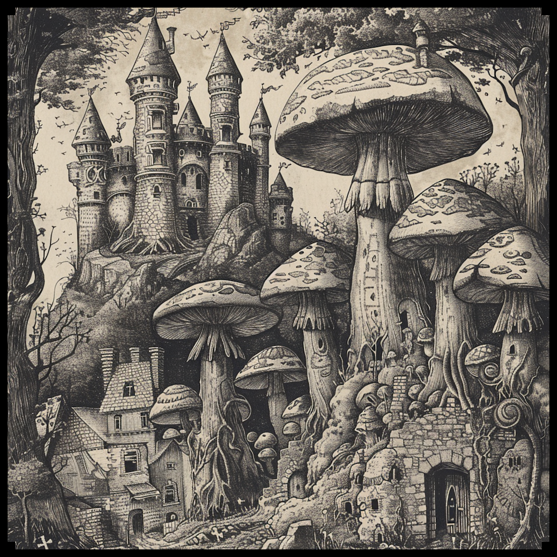
In the realm of fantasy cartography, the portrayal of treehouse settlements and cities has become an iconic and cherished element. Today, we explore the historical significance and evolution of these captivating representations, drawing a parallel between ancient maps and the modern pack of assets for fantasy maps titled: Vintage Treehouse Settlements and Cities + Treehouse Settlement Creation Kit – 117 Assets MEGAPACK.

BUY AND DOWNLOAD The Vintage Treehouse settlements and cities + treehouse settlement creation kit – 117 Assets MEGAPACK :

The concept of treehouse settlements has roots in ancient cultures across the globe. From the tree-dwelling tribes of Papua New Guinea to the elaborate treehouses of the Alerce Coast in Chile, humans have long sought refuge in the canopy of trees. Ancient maps, such as the Babylonian World Map dating back to the 6th century BCE, occasionally featured symbols representing treehouse-like structures that held a special significance in various cultures.

These early depictions often represented sacred spaces or spiritual realms, highlighting the profound connection between humans and nature. As the art of cartography evolved, so did the representation of treehouse symbols, which began to find their way into maps of fantasy worlds.

With the rise of fantasy literature in the 20th century, maps became an essential component of the genre, guiding readers through the intricate worlds created by authors. Notable authors like J.R.R. Tolkien and C.S. Lewis incorporated treehouse settlements into their fantasy realms, further cementing the fascination with these magical abodes.

The Vintage Treehouse Settlements and Cities + Treehouse Settlement Creation Kit takes inspiration from this rich tradition, providing artists and mapmakers with a treasure trove of assets to bring their dreamlike visions to life. From the sprawling treehouse human cities to the enchanting treehouse elven cities, the pack offers a diverse range of options to cater to every mapmaker’s imagination.

Among the most beloved elements of fantasy cartography are the elven treehouse towns. Elven culture, known for its affinity with nature and ethereal elegance, perfectly complements the concept of treehouse settlements. The pack provides numerous assets for creating these captivating elven havens, allowing mapmakers to infuse their worlds with the allure of elven charm.

One of the standout features of the Vintage Treehouse Settlements and Cities + Treehouse Settlement Creation Kit is its homage to the antique style of cartography. By mirroring the design elements found in ancient maps, this pack transcends the boundaries of time, blending the allure of the past with the magic of fantasy.

To conclude, the representation of treehouse settlements in both ancient maps and modern fantasy cartography has a profound significance. It reflects humanity’s historical connection with nature, the appeal of magical realms, and the timeless allure of the unknown. The Vintage Treehouse Settlements and Cities + Treehouse Settlement Creation Kit stands as a testament to the enduring fascination with treehouse abodes, providing artists and mapmakers with the tools to weave extraordinary tales in the realms of fantasy.

As you embark on your cartographic adventures, remember that every treehouse city, castle, fort, and temple you create carries a piece of history within it – a connection between the fantastical worlds of fiction and the ancient cartographic wonders that have inspired generations. Let your creativity flourish and your maps transport readers and viewers to lands of enchantment and wonder. Happy mapping!

Posted on Leave a comment

From Medieval Battalions to Modern Warfare: The Role of Symbols in Military Maps and Fantasy Maps Assets

warfare on battlefield, fantasy map symbols, medieval and napoleonic, and nato, units

In both ancient maps and fantasy maps, various symbols have been used to represent infantry and cavalry battalions, artillery, mythical creatures, ships, campsites, and more. This article explores the historical and creative significance of these symbols, highlighting their evolution across different eras, including medieval, Napoleonic, and modern NATO. In addition, we will examine the Old Cartography Battlefield Units and War Assets Megapack, a collection that embodies the essence of ancient maps, while providing a diverse range of assets for fantasy map creators.

BUY AND DOWNLOAD the Old Cartography Battlefield Units and War Assets Megapack :

Ancient Maps:
Ancient maps often featured figurative representations of infantry and cavalry battalions, depicted through detailed illustrations of soldiers and horses. These symbols aimed to convey the visual impact of military forces, showcasing the magnitude and organization of ancient armies. Ships, represented by stylized vessels, were included to indicate naval units and exploration of uncharted territories. Campsites were often illustrated with tents, emphasizing the importance of logistics and strategic positioning in ancient warfare.

Medieval Maps:
In medieval cartography, infantry and cavalry battalions were depicted figuratively, often shown as rows of helmeted soldiers or mounted knights. These symbols provided a sense of the formation and composition of military units. Artillery was limited during this era, but fortified positions were represented by fortified walls. Destroyed houses and churches were sometimes included to showcase the aftermath of battles or the impact of sieges.

Napoleonic Era:
During the Napoleonic era, military symbols on maps became more standardized and abstract. Infantry and cavalry battalions were often represented by squares or rectangles, occasionally divided by a diagonal line to differentiate light and heavy infantry. Artillery symbols showcased cannon placements, typically depicted as small circles or squares with diagonal lines or dots to represent guns or batteries. These symbols allowed for a clear visualization of unit positions and tactical formations.

Modern NATO:
Modern NATO maps employ standardized symbols to represent infantry, cavalry, and artillery units. Infantry symbols are typically rectangular or diamond-shaped, with additional markings indicating unit types and sizes. Cavalry symbols may feature mechanized or armored representations, showcasing modern vehicle units. Artillery symbols include icons representing different types of artillery, enabling precise identification of weapon systems.

Fantasy Cartography:
In the realm of fantasy maps, the imagination knows no bounds. Symbols depicting infantry and cavalry battalions can vary from traditional representations to fantastical creatures or mythical beings. Giants, dragons, cyclops, harpies, and other massive beasts add a touch of wonder and danger to the map, captivating the imagination of adventurers and readers alike.

Conclusion:
From the figurative representations of ancient maps to the standardized symbols of modern NATO, the evolution of military symbols in cartography is a testament to the rich history and creative possibilities within the genre. The Old Cartography Battlefield Units and War Assets Megapack encompasses the spirit of ancient maps while offering fantasy map creators a diverse range of assets to bring their imaginative worlds to life. By incorporating historically inspired symbols and fantastical elements, these assets provide a bridge between the realms of history and fantasy, enabling creators to craft visually stunning and immersive maps. Whether depicting ancient battles, Napoleonic campaigns, or fantastical adventures, the symbols within this asset pack offer endless opportunities for map enthusiasts to explore the depths of the past and unleash their creative visions upon the map.

Posted on Leave a comment

From Battlefields to Sinister Isles: Symbols of Gore & Dark in Cartography Assets

etching illustration of fantasy map symbols, skulls, gore blood, battle remains, old cartography

In this article, we delve deep into the mesmerizing role of blood puddles, guts, damaged flags, skulls, tombs, battle markers, corpses piles, sinister isles, and cursed buildings in shaping the landscape of both fantasy and antique maps. And there’s more! We unveil the awe-inspiring Ultimate Gore and Battle Remains Vintage Assets Pack, a treasure trove of cartography assets and map symbols that will transport your fantasy maps to new heights, all while evoking the nostalgic charm of antique cartography.

BUY AND DOWNLOAD the Ultimate Gore and Battle Remains Vintage Assets Pack :

Maps have long been used to communicate more than just geographic information. They often include symbols, illustrations, and annotations that provide insights into historical events, cultural beliefs, and even supernatural elements. In both fantasy and antique maps, the inclusion of blood puddles, guts, damaged flags, skulls, tombs, battle markers, corpses piles, sinister isles, and cursed buildings serves to convey specific meanings and create a unique atmosphere within the map.

Prepare to be swept away by the sheer intensity of battles brought to life! Blood puddles and guts piles are commonly found in fantasy maps depicting battlegrounds and scenes of intense conflict. These gory symbols represent the brutality and violence associated with epic battles. They serve to remind viewers of the sacrifices made and the lives lost in the pursuit of power, conquest, or defense. The inclusion of such elements adds a visceral quality to the map, evoking a sense of danger and highlighting the stakes involved in the depicted conflicts.

Behold the glorious rise and tragic fall of nations and factions! Within the realms of fantasy maps, damaged flags and broken flags represent the triumphs and defeats that shape the fate of empires. Like fluttering relics of a bygone era, these symbols bear witness to the ever-shifting tides of power and the fragility of dominions. Immerse yourself in the rich tapestry of history and politics that weave together the fantastical worlds depicted in these maps.

Unlock the mysteries of forgotten civilizations and ancient battlegrounds! Skulls, tombs, and battle markers, meticulously etched onto fantasy and antique maps, stand as haunting symbols of the past. They beckon with whispers of hidden treasures, cursed lands, and sacred sites, inviting intrepid explorers to unravel the stories that lie dormant beneath their surface. Prepare to set foot on the hallowed ground of legends and indulge in the boundless realms of imagination.

Witness the aftermath of conflicts, monstrous encounters, and cataclysmic events! As you traverse the fantasy landscapes, prepare to confront the grim reminders of battles long fought. Corpses piles, gore piles, and carcasses offer stark testimony to the perils and challenges that plague these mesmerizing worlds. With every step, they serve as cautionary markers, warning travelers, adventurers, and armies alike of the dangers that await in their wake.

Venture into the heart of darkness, where malevolence and the supernatural hold sway! Sinister isles and cursed buildings emerge from the depths of fantasy and antique maps, drawing brave souls into realms infused with an eerie ambiance. These dark enclaves harbor hidden secrets, mythical creatures, and forces that defy comprehension. Brace yourself for epic quests, spine-tingling encounters, and the allure of the unknown.

Prepare to elevate your fantasy maps to new heights with the Ultimate Gore and Battle Remains Vintage Assets Pack ! Bursting with meticulously crafted elements such as damaged flags, broken flags, battle markers, blood puddles, guts piles, gore piles, skulls, broken armors piles, corpses piles, carcasses, tombs, sword tombs, war-torn cursed citadels, war-torn cursed fortresses/castles, and sinister isles, this remarkable collection is a gateway to a realm of unparalleled sinister marvels.

With a simple mouse click, these assets infuse your maps with an unparalleled sense of historical authenticity and the evocative charm of antique cartography. Your dark fantasy worlds will come alive as your imagination weaves intricate tales of heroism, tragedy, and the supernatural.