Maps are much more than simple geographical tools; they are windows into stories, immersive worlds, and creative exploration. From classic fantasy maps embedded in epic tales to modern digital mapping systems like Google Maps, the evolution of map interactivity has reshaped how we perceive and engage with spaces. Today, tools like WorldBorn exemplify the merging of artistic mapmaking and cutting-edge technology, transforming static images into vibrant, interactive experiences. Let’s delve into the role of interactive maps, particularly in the contexts of storytelling, sensitive cartography, fantasy worldbuilding, and practical navigation, to understand how WorldBorn revolutionizes map usage.
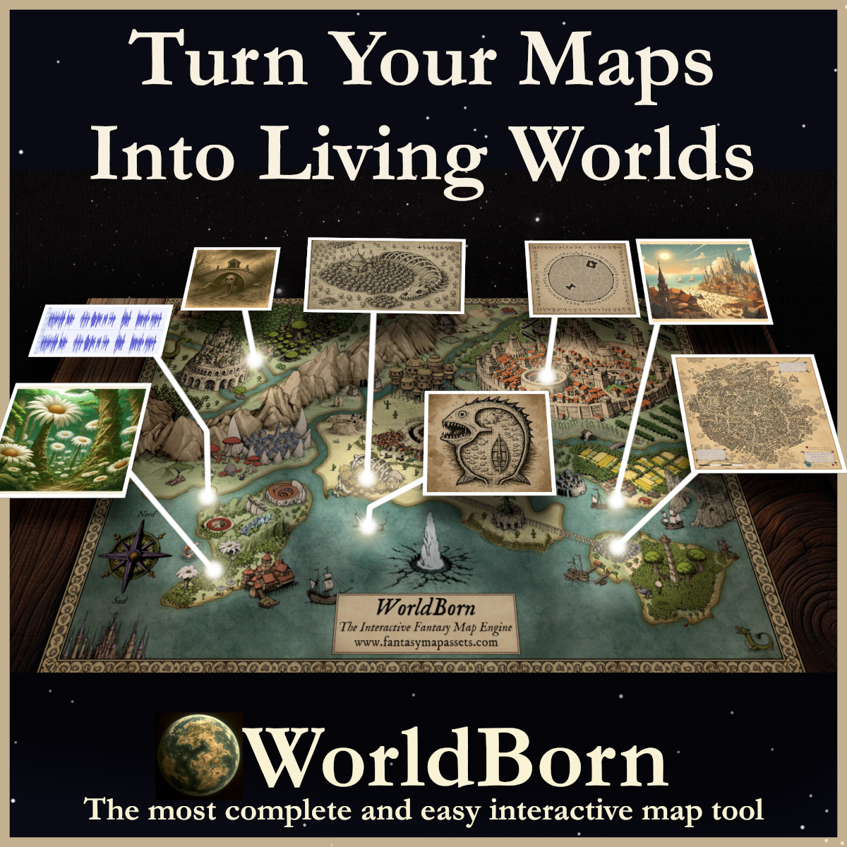
BUY AND DOWNLOAD WorldBorn here :
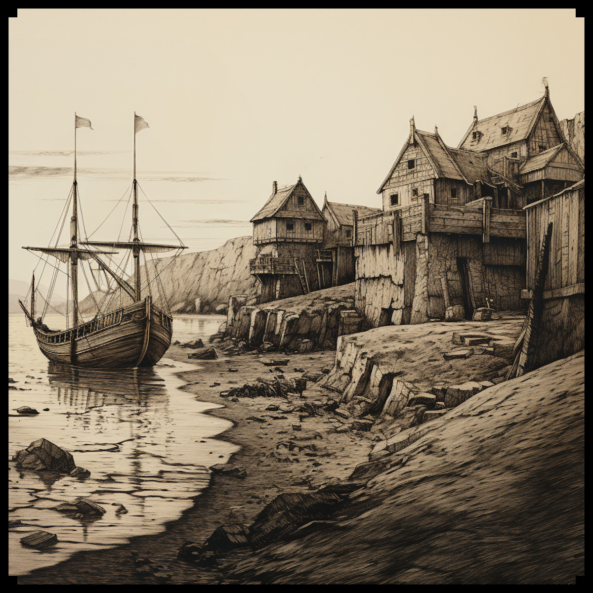
Fantasy Maps: Building Immersive Worlds through Interactivity
Fantasy maps are integral to storytelling, offering both context and depth to fictional worlds. From J.R.R. Tolkien’s Middle-earth to George R.R. Martin’s Westeros, maps in fantasy literature are more than illustrations; they are narrative tools that help readers visualize journeys, alliances, and conflicts. These maps immerse audiences in the world, creating a sense of place that supports the plot’s unfolding.
With WorldBorn, this immersion goes beyond static visuals. Imagine a game master creating a map of a fictional kingdom where players can interact with specific locations—clicking on a village might reveal its history, while a mountain range could display paths and hidden caverns. The ability to layer maps within WorldBorn enhances storytelling: a geographical map can coexist with a political map, allowing users to switch perspectives seamlessly. This layering feature is crucial for fantasy settings where political boundaries and natural landscapes are equally significant.
In traditional fantasy storytelling, maps often accompany books as decorative yet static pages. WorldBorn breaks this mold by allowing creators to integrate multimedia elements, such as audio storytelling, clickable lore nodes, and visual effects. This makes the map not just an accessory but an essential part of the interactive narrative experience, bringing fictional worlds to life.
Narrative Maps: Weaving Stories with Space
Narrative maps are designed to tell stories through spatial representation. Unlike conventional maps that prioritize geographical accuracy, narrative maps focus on journeys, plot progressions, and the emotional resonance of places. In literature, they guide readers through the progression of a story, while in role-playing games (RPGs), they serve as both a guide and a narrative device.
WorldBorn excels in creating narrative maps by allowing creators to embed diverse media within points of interest. For instance, a map chronicling a hero’s journey can feature clickable spots that reveal diary entries, voice recordings, or scene illustrations. This dynamic layering enables users to experience the story spatially, unfolding plotlines through exploration rather than linear reading.
An excellent real-world example of a narrative map is Rebecca Solnit’s “Infinite City”, where the city of San Francisco is reimagined through thematic and personal perspectives. In a similar vein, WorldBorn can enable creators to layer emotional or thematic perspectives on top of geographical layouts. This makes it possible to have a map that represents a character’s emotional journey alongside the physical one, creating a richer narrative experience.
Sensitive Maps: Blending Personal Experience and Geography
Sensitive maps (or cartographies sensibles) transcend conventional map-making by blending personal experiences, emotions, and social contexts with spatial representation. These maps often reflect human stories rather than physical landmarks. A notable example is a post-disaster map where each marked location shares personal stories of loss and resilience, creating a multi-layered emotional landscape.
WorldBorn can significantly enhance sensitive mapping by allowing the integration of multimedia content within specific zones. Imagine a project where each clickable area on a map of a historic neighborhood unveils photographs, oral histories, or video testimonials. Such an interactive approach deepens empathy and understanding, making the map a vessel for collective memory and storytelling.
Another use case might involve mapping the cultural shifts of a city over decades. Different layers could represent historical, cultural, and social transformations, allowing users to toggle between eras and witness the changes visually and narratively. This use of layering within WorldBorn transforms static historical documentation into a living, evolving exploration.
Practical Maps: Interactivity in Real-World Applications
Modern interactive maps like Google Maps are renowned for their practicality. They allow users to access real-time navigation, explore businesses, and visualize traffic data. While WorldBorn does not aim to replicate these data-driven functionalities, it leverages interactivity to support creative and exploratory map uses.
One unique aspect of WorldBorn is its ability to layer different map types rather than data sets. For instance, a map of a fictional world might include a geographical layer showing terrain and a political layer marking territories and kingdoms. Users can toggle between these layers to get different perspectives on the same space, enhancing both immersion and practical understanding within storytelling contexts.
Imagine a historical project where one layer shows ancient city layouts and another shows the modern urban plan. Users can switch between them, understanding how time has reshaped the space. This ability to create multi-layered maps makes WorldBorn a versatile tool not just for fantasy worldbuilding but also for educational and cultural projects.
The Decorative and Cultural Role of Maps
Maps have long held decorative and cultural significance, from the ornate mappa mundi of the medieval era to hand-drawn fantasy maps that accompany epic novels. While traditional maps often served as art objects as much as navigational aids, interactive maps now carry this aesthetic into the digital realm.
WorldBorn embraces this artistic tradition by allowing creators to embed custom designs and aesthetic features within their interactive maps. Although the tool does not animate borders, it does support integrating stylized elements and media that enrich the visual appeal. This way, maps can remain beautiful and culturally evocative while offering new layers of interaction.
For tabletop RPG enthusiasts, WorldBorn allows the creation of maps that not only look hand-drawn but also include interactive markers, soundscapes, and lore entries. This blend of artistic presentation and functional interactivity makes maps more than just visual aids; they become integral to storytelling and immersion.
Interactive Fantasy Maps: A New Frontier for Creativity
The transition from static to interactive maps marks a significant cultural and creative shift. Tools like WorldBorn redefine maps from being mere geographic representations to becoming immersive experiences, crafted for storytelling, exploration, and cultural documentation.
By allowing users to transform any image into a dynamic map, WorldBorn democratizes creative mapping. Whether you are a game master designing a complex fantasy realm, a storyteller crafting layered narratives, or an educator building interactive history lessons, WorldBorn empowers you to make maps that do more than just show—they engage, narrate, and inspire.
Interactive fantasy map tools are not just technological innovations; they represent a deeper cultural evolution, reflecting humanity’s timeless desire to explore and narrate spaces. As we continue to merge creativity with digital interactivity, the possibilities for storytelling and map-making remain boundless.