Posted on

Timeless Cartography Assets: The Role of Top-Down Towns, Castles, and Cities

top-down assets, Vintage cartography assets, fantasy map icons, towns, cities, buildings, Wonderdraft, Inkarnate

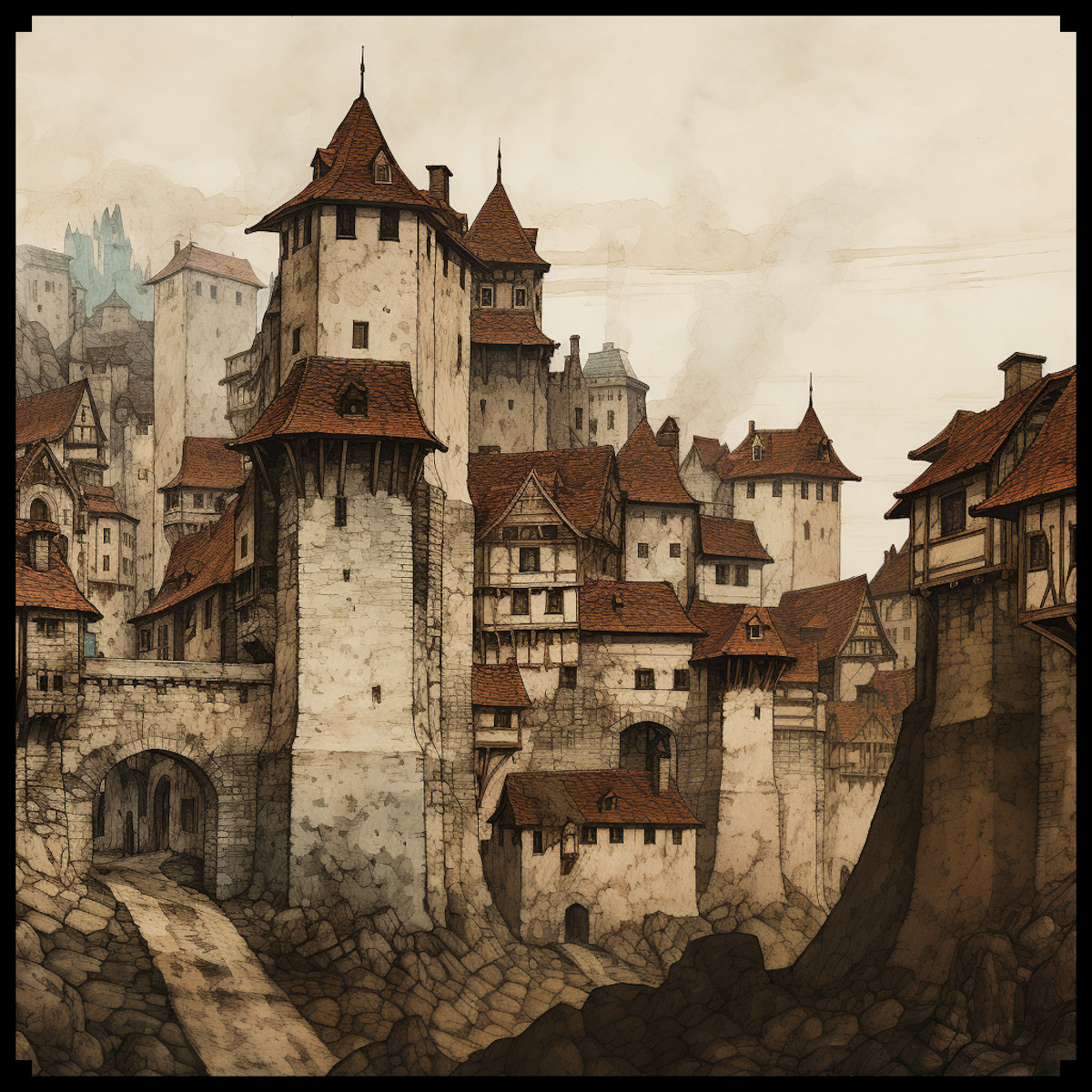
Maps have always been more than navigation tools. They are storytelling devices, cultural artifacts, and works of art. One of the most fascinating features of both historical and fantasy cartography is the use of top-down representations—miniature towns, villages, castles, piers, temples, and city walls that condense culture and history into symbols.

With modern Wonderdraft assets such as the Top-down towns, castles, villages, & more pack, today’s creators can continue this tradition, bringing life and depth to their fantasy maps while echoing centuries of cartographic practice.

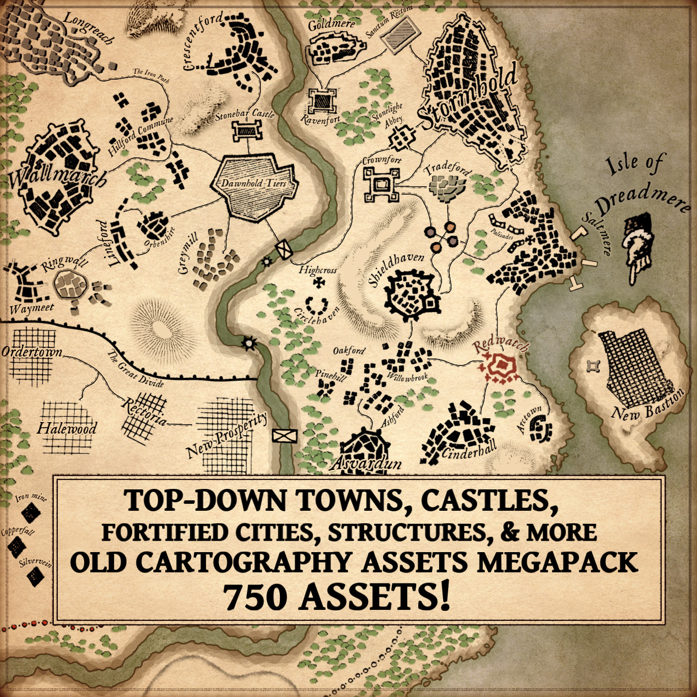
BUY AND DOWNLOAD The Old Cartography top-down towns, castles, villages, & more  Assets Megapack here :

Grid-Planned Towns and Organic Settlements: Classic Fantasy Map Icons

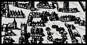
Cartography has always revealed the contrast between organic towns and grid-planned cities.

  • Organic settlements, especially in medieval Europe, grew around castles, rivers, and trade roads. Their winding streets and irregular clusters reflected centuries of adaptation to local geography.
  • Grid-planned cities, by contrast, symbolize order and authority. While rooted in Roman military layouts, this approach became especially prominent in the 18th and 19th centuries in the United States. Cities such as Philadelphia and many Midwestern towns followed strict rectilinear grids, embodying Enlightenment ideals and practical governance.

This duality—wild frontier villages versus orderly planned colonies—remains central in fantasy storytelling. With the right fantasy map icons, you can bring this same historical authenticity into your own worlds.


Cartography Assets in the 18th and 19th Centuries

The Enlightenment and Industrial Age reshaped cartography. In the 18th and 19th centuries, maps were not only decorative—they became precise instruments of power, trade, and expansion.

  • Military maps showed bastioned forts, walls, and ramparts, emphasizing defense.
  • Colonial maps marked gridded towns to project administrative control.
  • Commercial atlases depicted piers, harbors, and watermills, highlighting networks of commerce.

These standardized cartography assets made it possible to instantly read a landscape: every castle spoke of power, every bridge of trade, every temple of belief.


Functional and Symbolic Roles of Fantasy Map Icons

What makes top-down symbols so enduring is their dual function: they are both practical and symbolic.

  • Bridges show strategic crossings and economic lifelines.
  • Temples and churches act as cultural and spiritual centers.
  • Castles and forts embody strength, protection, and political dominance.
  • Mines, watermills, and piers reveal resources, labor, and prosperity.

Just as 19th-century engineers used icons to control colonial territories, today’s worldbuilders use fantasy map icons to create depth, history, and narrative.


Wonderdraft Assets: Timeless and Decorative

From Enlightenment atlases to digital fantasy maps, top-down cartography has proven timeless. These representations are not bound to a single period—they evolve with culture and remain relevant today.

Their beauty lies in versatility: they orient the reader, provide context, and embellish a map with life. A well-placed fortress or walled city transforms a flat map into a living world.

The Top-down towns, castles, villages, & more collection of Wonderdraft assets allows modern creators to combine utility and artistry. These tools produce maps that are not only functional but visually captivating.


Fictional Resonances: From Fantasy Maps to Storytelling

Modern fantasy inherits these traditions:

  • Tolkien’s Minas Tirith, rising as a fortified emblem.
  • Martin’s Winterfell and King’s Landing, echoing medieval strongholds.
  • Countless tabletop RPG maps, where towns, villages, and forts serve both immersion and gameplay.

These examples prove that symbolic cartography is not just history—it is a living art form.


Conclusion: Cartography Assets for Worldbuilders

From grid-planned American cities to medieval strongholds, from Enlightenment atlases to modern fantasy campaigns, top-down cartography remains a universal language. Each bridge, rampart, or temple encodes both utility and meaning.

The Top-down towns, castles, villages, & more pack of fantasy map icons is more than a toolkit—it is a continuation of centuries of symbolic cartography. By using these cartography assets, you bridge history and imagination, building maps that are useful, decorative, and deeply cultural.

Posted on

Medieval and Fantasy City Cartography : A Journey through Time and Imagination

medieval city map assets pack, wonderdraft assets, etching illustration, fantasy map symbols

As an enthusiast of historical cartography and a fervent admirer of fantasy maps, I find great pleasure in exploring the intricate representations of medieval cities on ancient maps. These maps, often characterized by their detailed depictions of fortified cities, offer us a fascinating glimpse into the urban landscapes of bygone eras. In this article, we’ll embark on a journey through history and imagination, delving into the evolution of city mapping and the enchanting world of fantasy maps. We will also shed light on a remarkable asset pack titled Old Cartography Medieval Town Parts & Surroundings Assets – 349 assets MEGAPACK, which beautifully encapsulates the essence of medieval urban life.

BUY AND DOWNLOAD The Old Cartography Medieval Town Parts & Surroundings Assets – 349 assets MEGAPACK :

Medieval City Mapping: A Historical Perspective

Medieval city maps, known for their meticulous attention to detail, often featured distinctive elements that set them apart from modern cartography. One of the most striking features was the representation of fortified cities with a unique perspective. This perspective, known as “bird’s-eye view” or “axonometric projection,” allowed cartographers to depict the facades and roofs of buildings simultaneously, providing viewers with a comprehensive understanding of the city’s layout. This technique not only showcased the architecture but also highlighted the hierarchical organization of the city into different districts or quarters.

Ramparts, Towers, and Gates: The Heart of Medieval Cities

The fortified nature of medieval cities was a prominent feature, and maps of the time did not shy away from showcasing these imposing structures. Ramparts or city walls, often adorned with crenellations, were depicted as protective shields encircling the urban center. Towers, both defensive and ornamental, dotted the walls at regular intervals, serving as watchtowers and symbols of power. Gates, with their intricate designs and portcullises, were the main entrances to these cities, each telling a story of its own.

The asset pack mentioned earlier, Old Cartography Medieval Town Parts & Surroundings Assets Megapack, perfectly captures the essence of these features, allowing modern map creators to evoke the spirit of medieval cityscapes.

Life in the City: Citizens and Surroundings

Medieval city maps went beyond mere architectural representations; they infused life into the urban sprawl. Tiny figures, representing city dwellers, were often depicted engaged in various activities, such as trading, socializing, or even strolling with their dogs. This human touch added vibrancy to the maps and offered a glimpse into the daily life of medieval citizens.

The surroundings of these cities were equally important and were often depicted with meticulous care. The countryside, rolling hills, and sometimes even distant forests framed the urban center, giving a sense of the city’s connection to its hinterland. Portrayals of bustling docks and harbors, with ships and rowboats, emphasized the importance of trade and commerce.

Fantasy Maps: A World of Imagination

While medieval city maps offer a window into the past, fantasy maps transport us to worlds of boundless imagination. These maps, often found in the pages of epic fantasy novels, serve as gateways to fictional realms filled with enchanted cities, mystical landscapes, and mythical creatures. In many ways, they draw inspiration from the rich tradition of medieval cartography, blending historical elements with imaginative flair.

Conclusion

In the realm of cartography, the representations of medieval cities on ancient maps and the enchanting allure of fantasy maps share a common thread of creativity and imagination. The Old Cartography Medieval Town Parts & Surroundings Assets pack, with its meticulously crafted assets, bridges the gap between these two worlds, allowing modern map creators to craft captivating cityscapes that resonate with the spirit of the past and the wonder of fantasy. Whether you’re a historian fascinated by the intricacies of medieval urban life or a fantasy enthusiast yearning to explore uncharted territories, thhis assets megapack offer a captivating journey through time and imagination, where the past and the fantastical converge in harmony.

Posted on

Exploring Medieval City Maps and Their Depiction of Buildings and Streets

illustration, medieval isometric representation of a town, sepia old style

One of the most fascinating aspects of maps is the way they represent cities. Throughout history, maps have depicted cities in different ways, reflecting the changing styles and techniques of the time. In particular, maps from the medieval period often featured isometric representations of cities, which gave a unique and detailed view of the buildings and streets.

These medieval maps were not just practical tools for navigation; they were also works of art, reflecting the cultural and religious values of the time. Many of these maps featured detailed illustrations of the buildings and structures in the cities, often arranged in a grid pattern that reflected the hierarchical organization of medieval society.

The isometric representation of cities in medieval maps was particularly significant, as it allowed the viewer to see the city from multiple angles and perspectives. This gave the maps a level of detail and realism that was not possible with traditional flat maps.

BUY & DOWNLOAD THE VINTAGE MEDIEVAL TOWN BUILDINGS ASSETS PACK HERE TO CREATE YOUR OWN ANTIQUE / FANTASY TOWN MAP WITH EASE :

Fast forward to modern times, and we see a resurgence in the use of medieval-style maps in fantasy settings. These maps are popular among gamers and fantasy enthusiasts, who use them to navigate imaginary worlds filled with dragons, wizards, and other fantastical creatures.

One of the key elements of these fantasy maps is the representation of medieval cities and towns. Just like the medieval maps of old, these fantasy maps often feature isometric representations of buildings and structures, giving the viewer a detailed and immersive view of the city.

This is where the Town Buildings & Houses Vintage Assets Pack comes in. This pack of assets contains 102 buildings, each designed to evoke the look and feel of a medieval town or city. The pack includes everything from houses and shops to guild halls and other important structures, all designed with attention to detail.

The vintage look and feel of these assets is particularly appealing, as it gives the fantasy maps a sense of history and depth that is often lacking in modern designs. By using these assets, fantasy creators can create immersive and engaging maps that transport their players to another time and place.

In conclusion, the use of isometric representations of cities and towns in medieval maps has a rich history that continues to influence modern-day fantasy maps. The Town Buildings & Houses Vintage Assets Pack is a valuable tool for anyone looking to create detailed and immersive fantasy maps that capture the look and feel of a fantasy / medieval city. Whether you’re a game designer, artist, or fantasy enthusiast, these assets are sure to inspire and delight.