Maps have long been essential tools for understanding and navigating the world. Throughout history, cartographers have employed various techniques to depict natural landscapes, using trees, forests, and other elements to communicate more than just geography. In ancient and medieval cartography, these representations were both functional and artistic, often reflecting cultural values and worldviews. Tree clumps, leafy clusters, and jungle formations became staple features of antique maps, serving both decorative and utilitarian purposes. In modern fantasy cartography, these visual traditions continue, infusing maps with rich symbolism, depth, and storytelling potential.
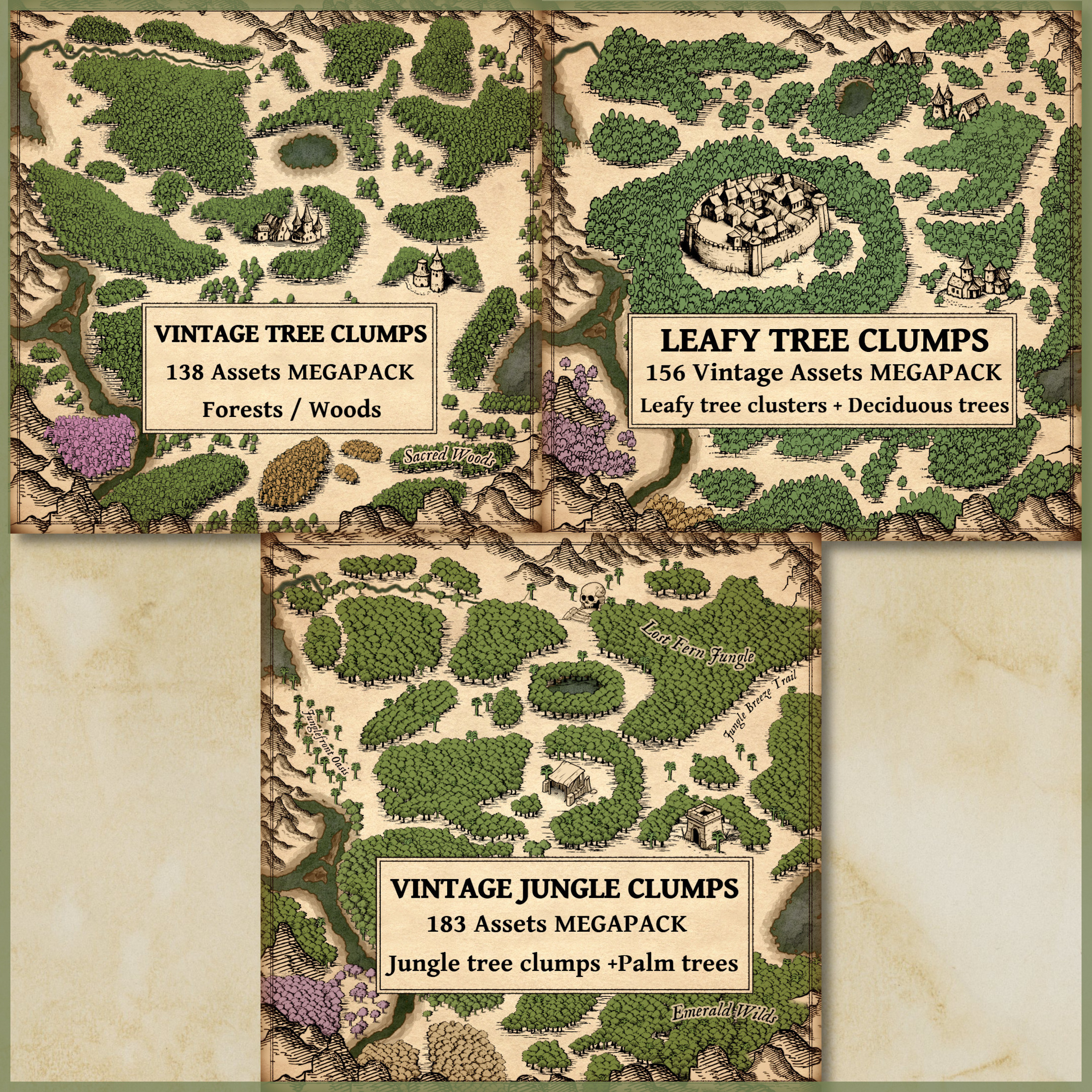
The Old Cartography Tree Clumps MEGABUNDLE – Vintage Assets (Woods, Forest, Jungle, Trees) draws on these historical techniques to bring the charm and precision of antique maps into the digital age. This extensive collection includes everything from clusters of trees representing dense forests to individual trees like palms and jungle varieties. The bundle is carefully designed to reflect the aesthetics of old-world maps while offering modern creators the tools to craft visually stunning and narratively rich fantasy maps.
BUY AND DOWNLOAD The Old Cartography Tree Clumps MEGABUNDLE – Vintage assets here :
The Cultural and Historical Context of Tree Clumps in Antique Maps
In the history of cartography, trees were often used as symbols of untamed wilderness, natural boundaries, or resources. On medieval and Renaissance maps, tree clumps or clusters represented forests, symbols of both danger and vitality. These representations were often influenced by cultural perspectives on nature. For example, European maps from the Age of Exploration frequently depicted the forests of the New World as dense and foreboding, while Asian maps, such as Chinese or Japanese scroll maps, portrayed nature more harmoniously, with trees integrated into peaceful, stylized landscapes.
One famous historical example is the Tabula Rogeriana (1154) by Muhammad al-Idrisi, where forests are depicted as tree clumps. Similarly, the Hereford Mappa Mundi (c. 1300), the largest surviving medieval map, uses tree clusters to denote dense forests, enhancing both the map’s navigational purpose and its cultural storytelling. Forests were not only geographic features but symbolic spaces representing the unknown or spiritual realms.
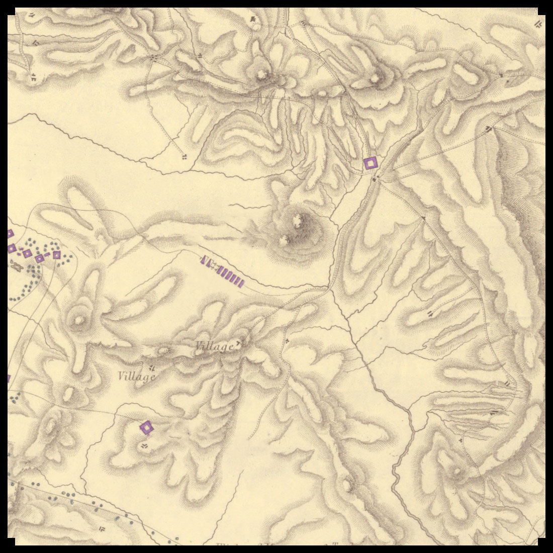
Tree clumps on maps also served functional purposes, allowing cartographers to represent vast expanses of wooded land without cluttering the map. This approach provided clarity, balancing decorative elements with practical readability.
Utility and Symbolism of Tree Clumps in Fantasy Cartography
In modern fantasy maps, tree clumps continue to play an important role, inspired by these historical precedents. In works such as J.R.R. Tolkien’s Middle-earth maps or the richly detailed maps from The Witcher series, forests and jungles are often portrayed as clumps or clusters. This stylistic choice helps orient the reader or player within vast, imaginary worlds, using natural landmarks as navigational aids.
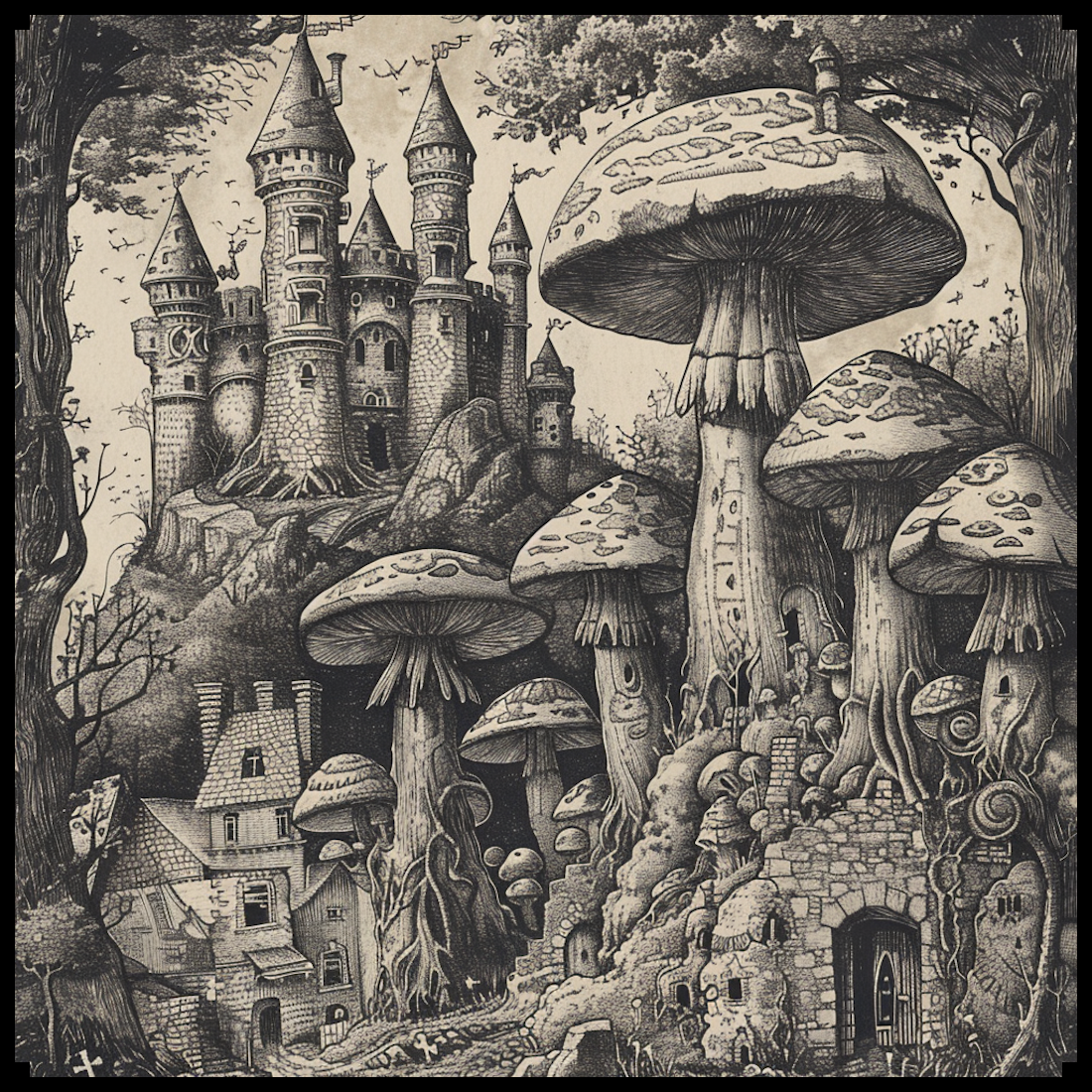
Tree clumps in fantasy maps also carry symbolic meaning, representing areas of mystery, danger, or refuge. Whether it’s the dense Mirkwood in Tolkien’s The Hobbit or the jungles of Skellige in The Witcher 3, forests often serve as the stage for key events in the narrative. By using tree clumps, mapmakers can create a sense of scale and environment without overwhelming the viewer.
Breaking Down the Elements of the Old Cartography Tree Clumps MEGABUNDLE
The Old Cartography Tree Clumps MEGABUNDLE is a collection meticulously designed to reflect the aesthetic of antique maps while serving the creative needs of modern cartographers. Each type of asset in the bundle contributes uniquely to the richness and functionality of a map, providing both decorative detail and practical layout assistance.
Tree Clumps
Tree clumps are groupings of trees that represent forests or woods in a condensed, symbolic form. These clumps allow for the depiction of large wooded areas without overwhelming the map with excessive detail. On fantasy maps, they create a sense of natural grandeur and scale, often serving as a boundary between regions or as significant environmental features.
Historically, tree clumps helped mapmakers manage space while still communicating the importance of forests. By grouping trees together, maps maintained a clean aesthetic, avoiding the clutter that individual tree icons would cause. On antique maps like the Carta Marina (1539) by Olaus Magnus, forests are represented as vast green areas, but using clusters of trees makes it clear where dense wooded areas exist without distracting from the map’s primary features.
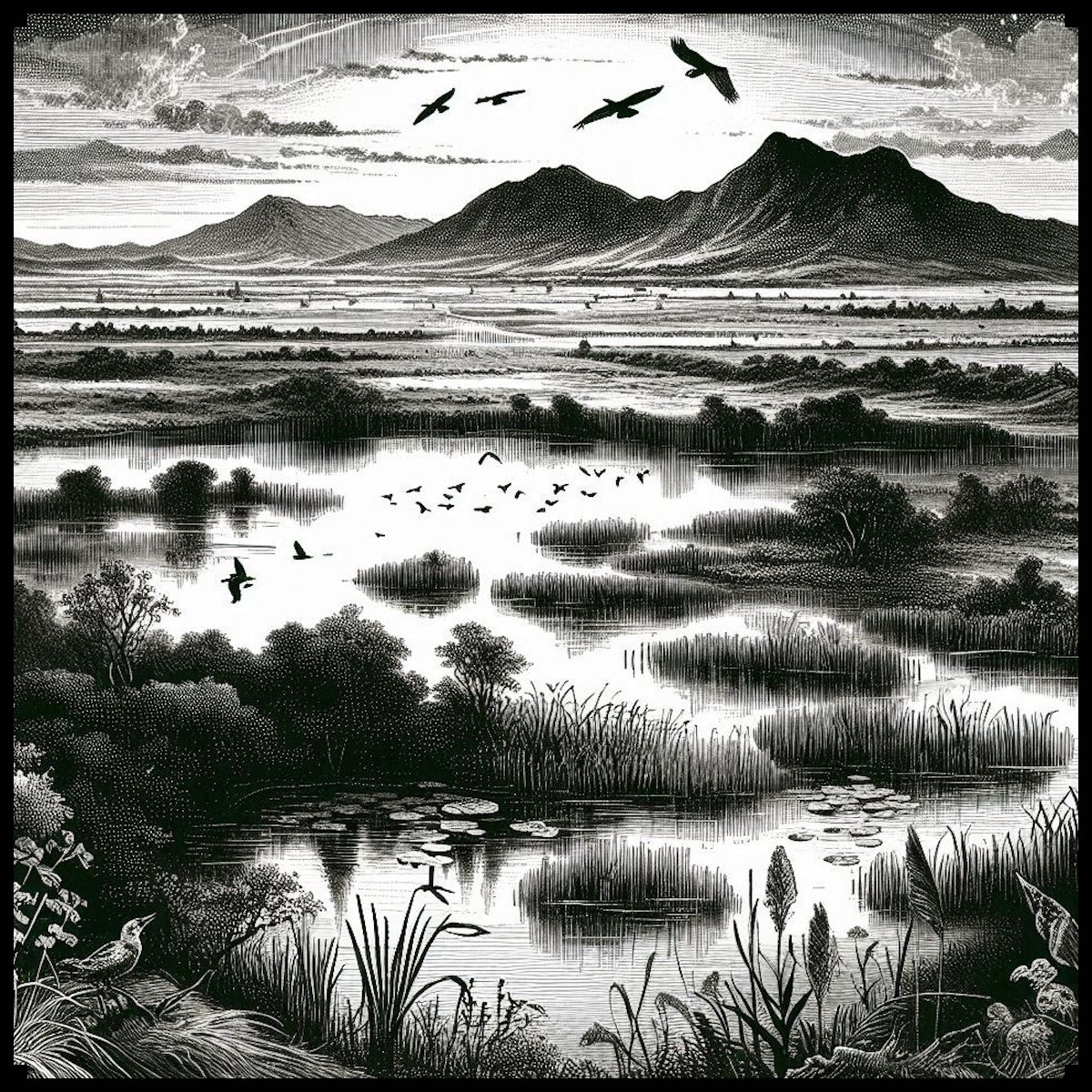
Leafy Tree Clumps / Forest Tree Clumps
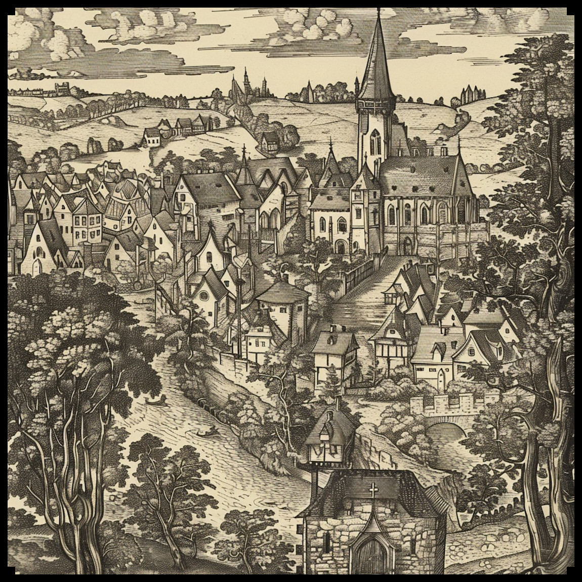
Leafy tree clumps are ideal for denoting forests with deciduous trees, such as oak, maple, or birch. These assets help create a lush, verdant feel to any map, suggesting temperate climates or ancient woods full of life. On a functional level, they help mapmakers balance the need for decoration with clarity, as the leafy clumps are distinguishable from other terrain features.
In antique maps, such clusters of leafy trees were often drawn to suggest the fertility of the land or as a boundary marker. On fantasy maps, they can signify zones rich with life, adventure, and potential danger, such as the classic enchanted forests that frequently appear in RPGs or fantasy literature.
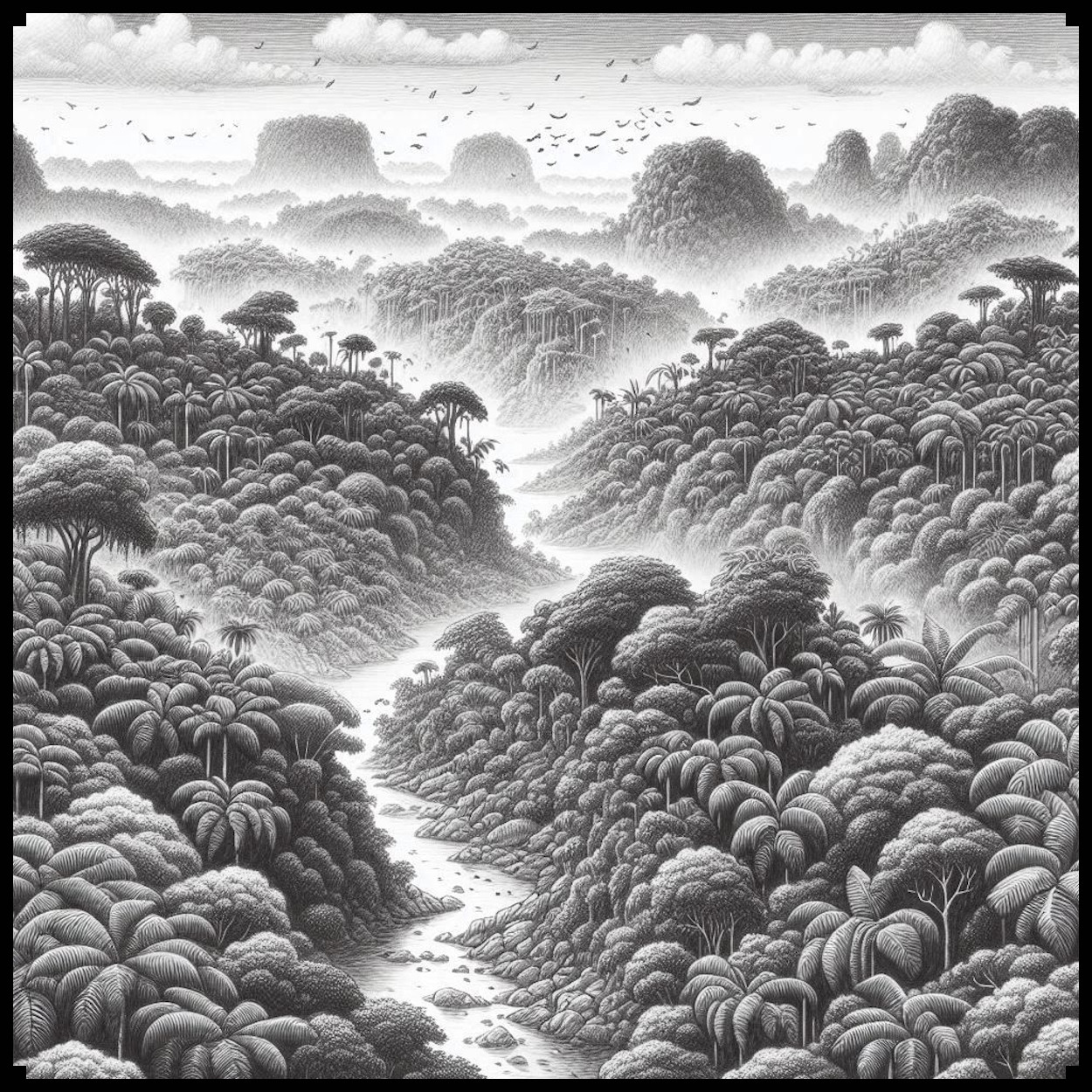
Jungle Tree Clumps
Jungle tree clumps, featuring dense foliage and exotic trees like palms and vines, help depict tropical and subtropical regions. Historically, jungles were often marked with detailed clusters of trees to communicate their impenetrability and mystique, as seen on maps from the colonial period that depicted the dense Amazonian rainforests.
In fantasy maps, jungles are often zones of danger, teeming with exotic creatures and hidden ruins. Jungle tree clumps provide the perfect aesthetic and functional representation of these regions, as seen in maps for campaigns like Dungeons & Dragons’ Chult or the rich tropical environments of games like Far Cry 3.
Individual Trees and Specific Tree Types
In contrast to tree clumps, individual trees are used to add precision and detail to maps. Whether depicting a sacred grove, a lone tree with narrative significance, or simply breaking up the monotony of a larger forest, individual trees bring a focused element to the map. Historically, individual trees were used to mark significant landmarks, as seen in early pilgrim maps or in tribal cartography from various indigenous cultures where a specific tree might have had spiritual or navigational importance.
In fantasy cartography, individual trees often mark points of interest. For example, the Great Deku Tree in The Legend of Zelda series or the ancient trees in the Elder Scrolls games often serve as landmarks with special significance, drawing the viewer’s eye and providing storytelling cues.
The Benefits of Representing Trees in Clumps
Representing trees in clumps provides several key advantages, both practical and aesthetic. First, clumps allow for better readability on a map. Rather than crowding the map with hundreds of individual trees, clumps create a sense of vastness and density without sacrificing clarity. Second, tree clumps provide a cohesive visual flow, ensuring that forests and jungles feel integrated into the landscape. Finally, tree clumps serve as natural dividers, breaking up regions and guiding the viewer’s eye across the map, creating visual harmony and balance.
Conclusion
In summary, the Old Cartography Tree Clumps MEGABUNDLE offers a perfect blend of historical accuracy and artistic flair, helping modern cartographers bring their fantasy worlds to life. By drawing on ancient traditions and practical considerations, these assets provide a robust toolkit for any mapmaker looking to create rich, immersive landscapes. Whether you’re depicting sprawling forests, dense jungles, or solitary trees of significance, this bundle ensures that your maps are not only functional but deeply engaging, reflecting the beauty and complexity of the natural world.