Subtotal: 10.00 €
Lost in Foliage: The Captivating Role of Tree Clumps in Antique and Fantasy Maps
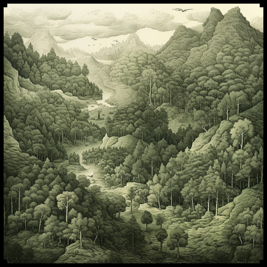
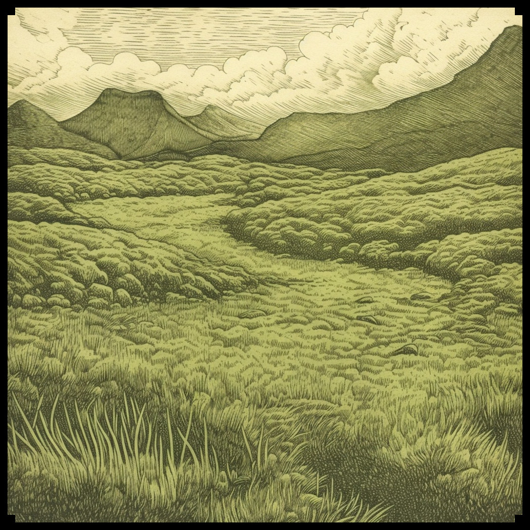
This article delves into the historical significance of depicting forests, woods, thickets, groves, and individual trees on both ancient and fantasy maps. In particular, we will spotlight the Old Cartography Tree Clumps – Assets Megapack (Woods, Forests, Trees) which pays homage to the antiquated mapping style while allowing users to craft their unique woodland landscapes.
BUY AND DOWNLOAD The Old Cartography Tree Clumps – Assets Megapack (Woods, Forests, Trees) :
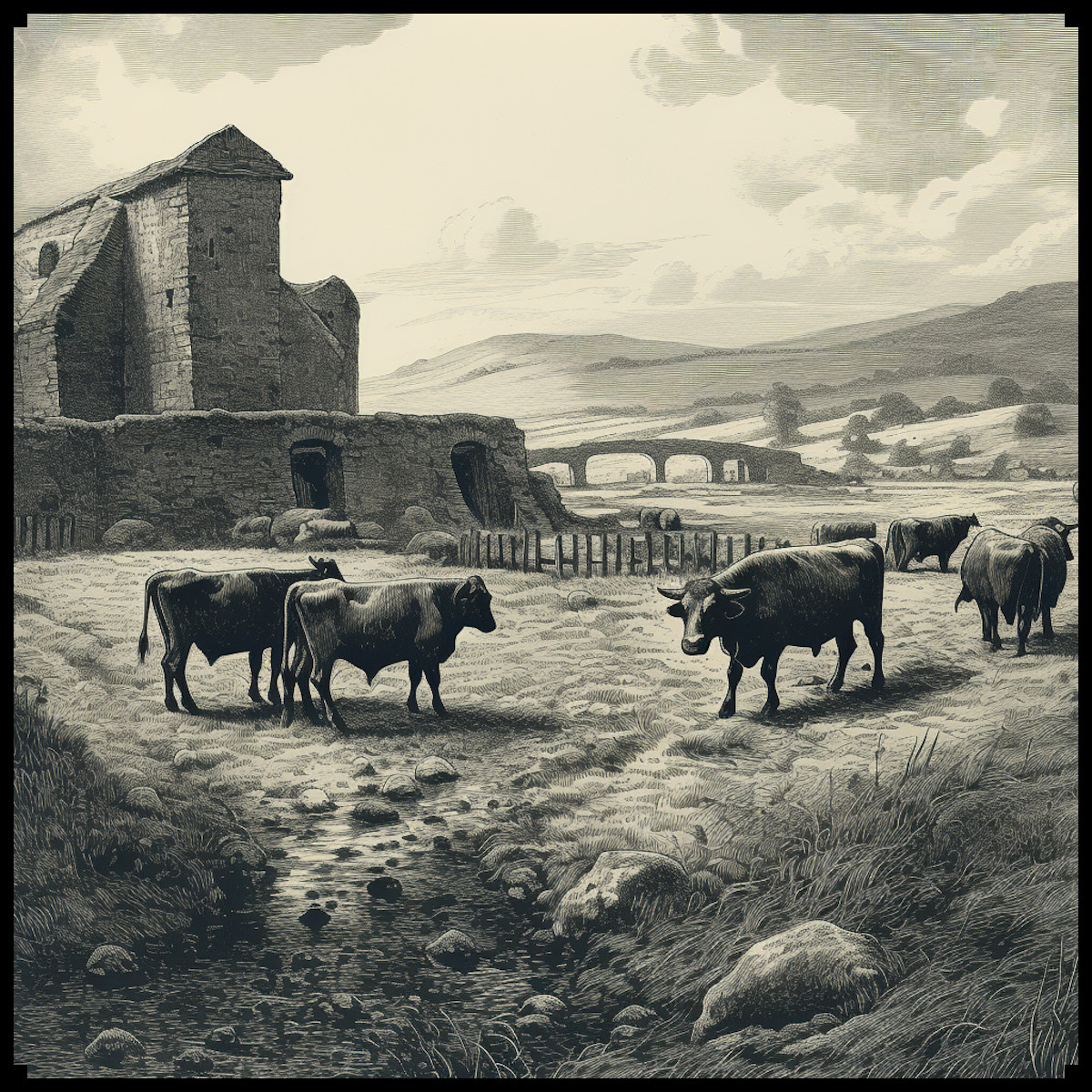
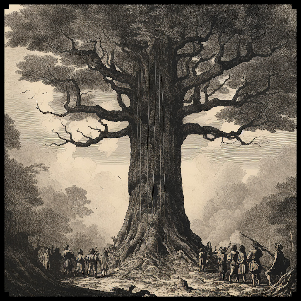
In the annals of ancient cartography, the representation of natural elements was as much about symbolism and artistic expression as it was about geographical accuracy. Forests, often depicted with elaborate iconography, stood as markers of untamed wilderness and the unknown. Ancient maps, such as those from the medieval period, used intricate lines and patterns to symbolize the wild expanses of woods and forests, inviting the viewer to imagine the mysteries that lay within.
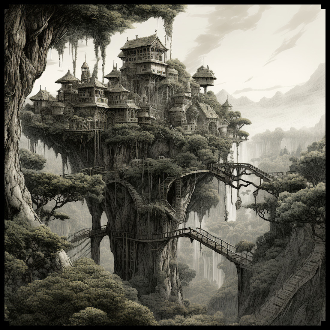
With the rise of fantasy literature, the art of cartography took a fantastical turn. Fantastical realms required maps that mirrored the rich, otherworldly landscapes described in stories. Here, forests gained newfound importance, serving as settings for magical quests, eldritch creatures, and hidden enclaves. In fantasy maps, the depiction of forests became an art form in itself, often characterized by towering trees, meandering paths, and a sense of secrecy that stirred the imagination.
The Old Cartography Tree Clumps – Assets Megapack:
This meticulously designed asset pack draws inspiration from both antique cartography and fantasy literature, encapsulating the essence of both worlds. Comprising tree clumps, forests, woods, groves, thickets, and individual trees, this collection provides a toolkit for crafting captivating woodland landscapes. Every element mirrors the style of bygone cartography, recreating the sense of wonder that such maps once evoked.
The pack’s key feature lies in its versatility. The tree clumps can be combined in various ways, allowing users to create woodlands, forests, and woods that match their vision. The intricate design and attention to detail enable cartographers to weave stories within their maps, imagining the tales that might unfold in the depths of these enchanting landscapes.
In a world where technology often dominates, the Old Cartography Tree Clumps – Assets Megapack harkens back to the allure of antique maps, where every stroke of the pen told a story. By combining the artistic charm of the past with the limitless imagination of fantasy, this asset pack stands as a testament to the enduring power of mapmaking to captivate hearts and minds.
From the earliest scrolls that guided travelers through dense woodlands to the fantastical realms that live within our favorite books, the representation of forests on maps has been a journey of both art and exploration. The Old Cartography Tree Clumps – Assets Megapack bridges the gap between the age-old cartographic style and the boundless realm of fantasy. As we traverse its digital landscapes, we pay homage to the cartographers of yore while embracing the uncharted territories of our imaginations.