Introduction to Fantasy Mapmaking and the Belle Époque Era
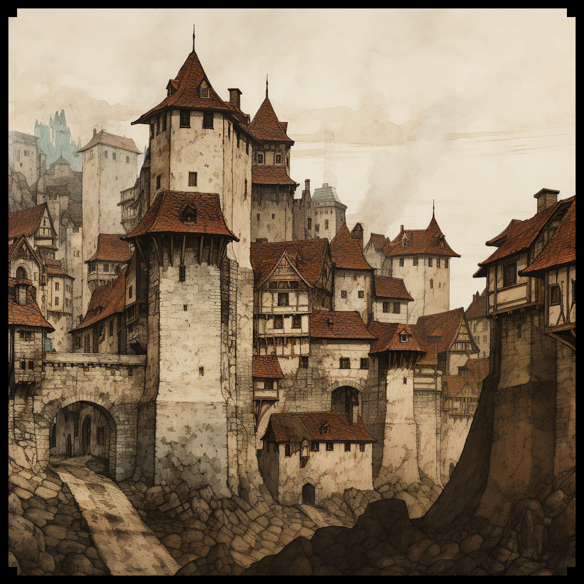
The allure of fantasy and antique maps lies in their ability to tell rich and immersive stories. The Belle Époque Cities, City Buildings & Structures – Vintage Assets Megapack draws inspiration from an era celebrated for its architectural splendor and cultural advancement. This pack introduces sprawling cities, iconic buildings, intricate structures, and atmospheric details that echo the grandeur of 19th and early 20th century Europe. To understand the significance of these assets, we must explore their historical, cultural, and artistic roles in mapmaking and how they elevate both utility and aesthetics. The Belle Époque (“Beautiful Era”) marked a period of peace, prosperity, and creativity in Europe between 1870 and 1914. Cities grew into cultural epicenters adorned with architectural masterpieces, including neo-gothic cathedrals, Haussmannian buildings, grand glass domes, and ornate clock towers. These structures now find a second life on fantasy maps, where they serve both as narrative focal points and decorative landmarks.
BUY AND DOWNLOAD The Belle Epoque Cities, City buildings, & Structures – Vintage assets Megapack here :
Sprawling Cities and Colossal Cathedrals
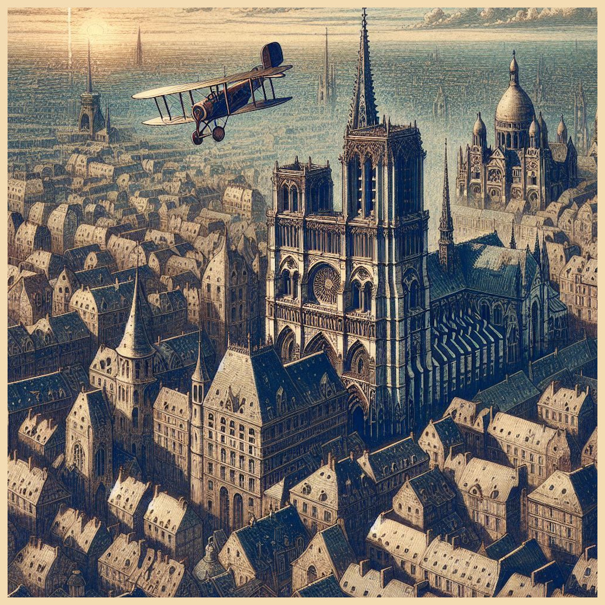
During the Belle Époque, cities like Paris, Vienna, and London experienced rapid urban growth. These cities became canvases of innovation, with colossal cathedrals and basilicas rising as cultural and religious symbols. Examples include the Sacré-Cœur Basilica in Paris and the Neo-Gothic St. Vitus Cathedral in Prague, which blended medieval inspiration with modern construction techniques. In antique and fantasy maps, sprawling cities are often rendered as compact urban landscapes with a central cathedral towering above surrounding structures. This layout mirrors the real-world medieval city design, where churches served as the heart of towns. Real-world examples, such as the medieval maps of Nuremberg with the Frauenkirche at its center, showcase this influence. Similarly, Tolkien’s depiction of Minas Tirith in The Lord of the Rings mirrors this centralization with its iconic tiered city crowned by a grand structure.
In fantasy settings, sprawling cities often symbolize power and prosperity. They serve as capitals, hubs of trade, or centers of cultural significance. The inclusion of cathedrals or colossal buildings gives these cities a clear visual hierarchy and a point of narrative interest, whether as seats of religious or magical power, royal authority, or key plot locations. Such visual anchors elevate the storytelling aspect of maps while making the environment more immersive and realistic.
Belle Époque City Buildings and Haussmannian Architecture
The late 19th century saw cities transform through urban renovation, most notably in Paris under Baron Haussmann. His renovation projects introduced uniform city blocks, wide boulevards, and symmetrical facades that defined the Belle Époque aesthetic. These Haussmannian buildings brought elegance and order to the cityscape, creating an urban harmony that shaped both real-world cartography and its fantasy counterparts. Antique maps, such as the Turgot Map of Paris (1739), already displayed a preference for structured layouts, but the Belle Époque brought further refinement to city designs, influencing how maps today depict organized and elegant urban zones.
In fantasy cartography, such orderly city blocks provide a sense of grandeur and prosperity. They divide sprawling cities into manageable and visually distinct districts—wealthy quarters, merchant areas, or residential neighborhoods—offering layers of storytelling and realism. The assets for Haussmannian buildings reflect this detail, giving creators tools to showcase sophisticated urban centers while maintaining visual cohesion on their maps.
Neo-Gothic, Neo-Renaissance, and Baroque Structures
The Belle Époque celebrated architectural revivalism, drawing on Gothic, Renaissance, and Baroque styles. Cathedrals and basilicas of this era featured intricate designs with spiked towers, pointed arches, domes, and ornate decorations. Real-world landmarks like Notre-Dame de Paris or London’s St. Paul’s Cathedral exemplify these styles. This architectural language, rich with detail and historical resonance, translates seamlessly into fantasy mapmaking.
On maps, these structures symbolize both beauty and power. Neo-Gothic cathedrals can serve as seats of divine influence or arcane energy, adding layers of cultural significance. Neo-Renaissance basilicas, with their symmetrical grandeur, represent centers of authority or knowledge, such as royal courts or academic institutions. Whether as centers of worship, magical academies, or imperial palaces, these structures add depth to a fantasy world’s lore while serving as essential visual focal points.
Fictional works frequently draw on these influences. The Cathedral of Light in World of Warcraft evokes Neo-Gothic grandeur, symbolizing divine power and protection. In the same vein, the assets for cathedrals and towers in the Belle Époque Megapack allow creators to recreate such monumental structures with ease, providing tools to evoke cultural history and architectural beauty.
Clock Towers, Statues, and Obelisks
The Belle Époque saw cities punctuated by iconic structures such as clock towers, statues, and obelisks. These elements reflected advancements in engineering and served as symbols of progress, remembrance, or mystery. Landmarks like London’s Big Ben or the ancient Egyptian obelisks relocated to European capitals, such as the Luxor Obelisk in Paris, demonstrate how these icons became integrated into the cityscape. In maps, clock towers and statues serve both practical and narrative functions. Clock towers signify centers of authority or progress, while statues and obelisks can mark sacred sites, historic events, or hidden lore within a fantasy world.
Fantasy maps use these structures to create points of navigation and storytelling. For example, an obelisk may hint at forgotten magic or ancient civilizations, while a statue might commemorate a legendary hero whose deeds are central to the narrative. The assets provided in the Megapack allow creators to incorporate these timeless icons into their maps, enhancing both realism and depth.
Glass Domes, Greenhouses, and Café Terraces
The Belle Époque was a time of industrial progress and artistic expression, and nowhere was this more apparent than in the rise of glass and iron architecture. Structures like the Crystal Palace in London and the Grand Palais in Paris became symbols of modernity, innovation, and cultural enlightenment. Glass domes and greenhouses, often associated with botanical gardens and exhibition spaces, reflected the era’s fascination with science and exploration.
In fantasy maps, these structures can serve as magical academies, botanical sanctuaries, or places of innovation. Their elegance adds layers of sophistication to cityscapes, marking them as centers of knowledge and culture. Similarly, café terraces, emblematic of Belle Époque leisure, bring a human element to urban spaces, showcasing the social vibrancy of a city and its people.
Technology and Atmosphere: Vintage Cars, Biplanes, Balloons, and Fog
The technological advancements of the Belle Époque introduced automobiles, biplanes, and hot air balloons, which reflected humanity’s growing ambition and mastery over movement and travel. Vintage cars can evoke bustling streets and urban energy, while biplanes and balloons symbolize exploration and innovation. In maps, these assets add dynamism, marking trade routes, skyports, or hubs of adventure.
Meanwhile, atmospheric elements such as fog and smog provide mood and mystery. Industrial cities of the Belle Époque often featured thick smog, a detail that can enhance dark, mystical, or hidden regions on a map. Fog-shrouded ruins, smog-filled streets, or misty valleys add depth and layers of intrigue to any fantasy setting.
Conclusion: The Belle Époque in Fantasy Mapmaking
The Belle Époque Cities, City Buildings & Structures Megapack captures the architectural beauty, innovation, and cultural richness of this historical era, transforming it into a versatile toolkit for mapmakers. From sprawling cities and Haussmannian buildings to grand cathedrals, glass domes, and atmospheric details, these assets offer the tools needed to create immersive and visually stunning maps. Whether serving as narrative anchors, cultural symbols, or decorative landmarks, these elements breathe life into fictional worlds, honoring the grandeur of a bygone era while inspiring new stories in fantasy and beyond.


