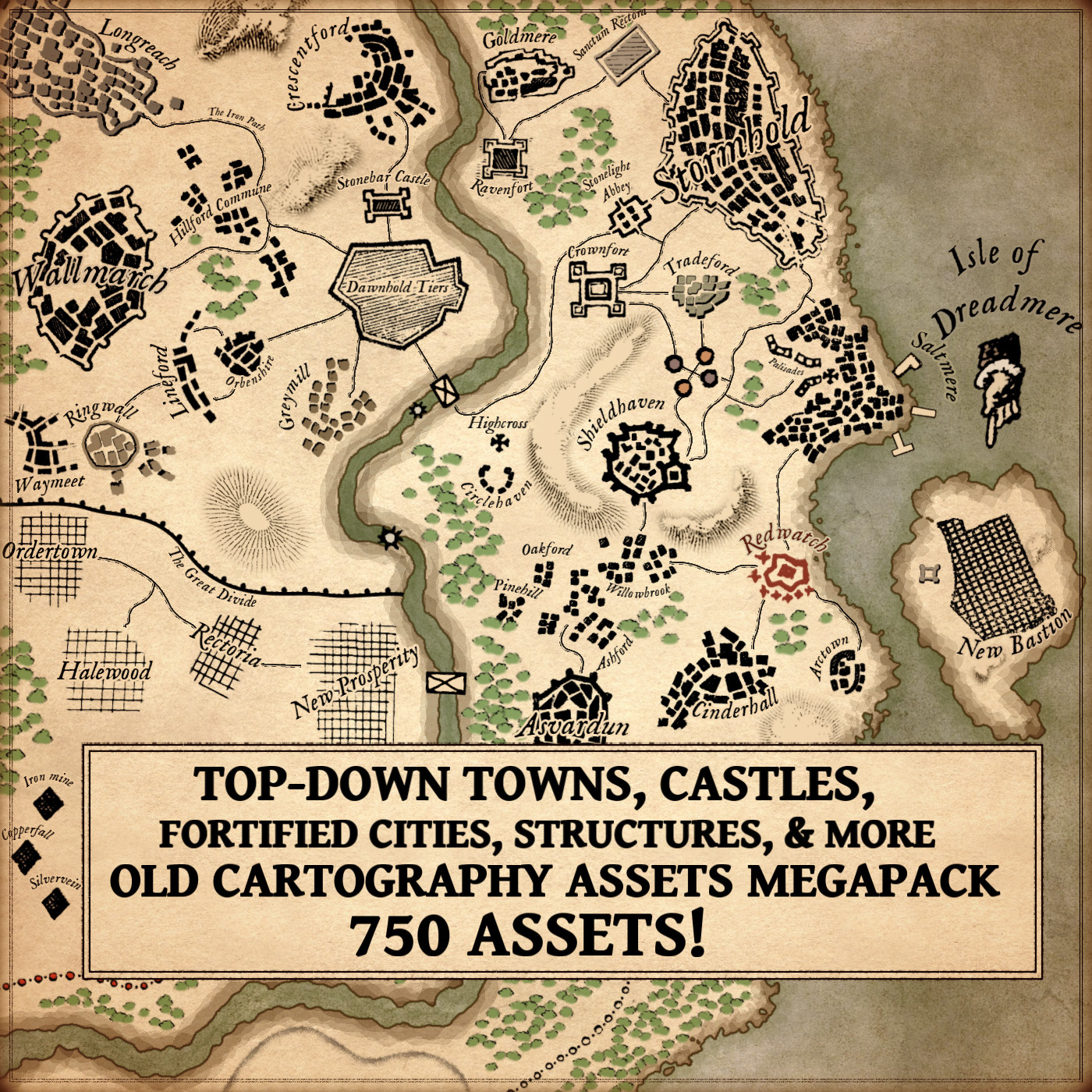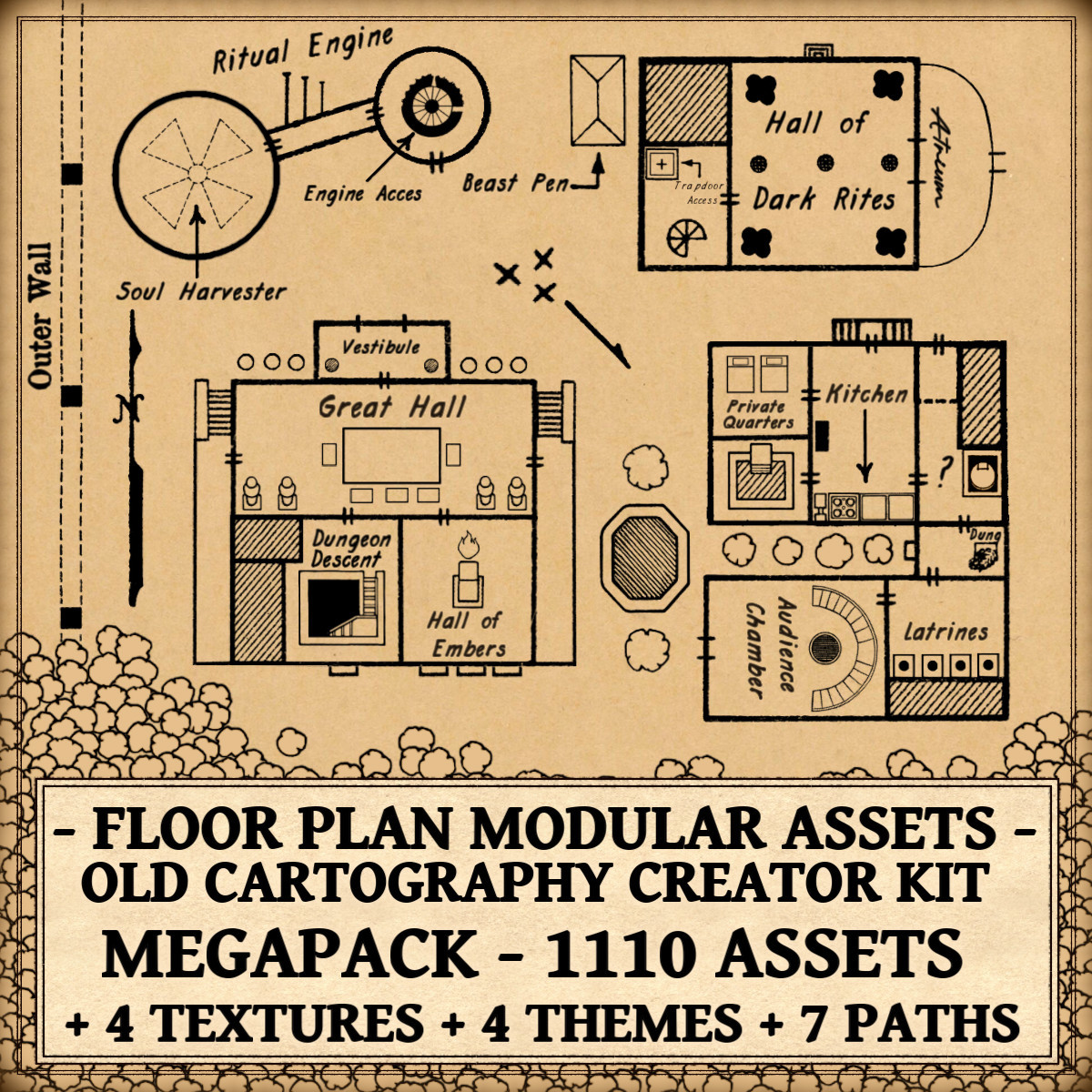
In the world of visual storytelling, few tools are as quietly powerful as floor plans and blueprints. Whether sketched by Renaissance architects, etched into military manuscripts, or assembled within modern fantasy cartography software, these representations bridge imagination and structure. The Floor Plan Modular Top-Down Assets – Old Cartography Creator Kit Megapack emerges directly from this lineage, not as a simple graphic toolkit, but as a continuation of a centuries-old visual tradition.
The Floor Plan Modular Top-Down Assets – Old Cartography Creator Kit Megapack allows creators to design stunning floor plans in minutes thanks to its extensive modular structure, while making it possible to build environments from any era, from ancient and medieval settings to modern and timeless designs. Far from being just a collection of visual elements, the pack reflects a long historical evolution. To understand its true relevance, one must first understand why floor plans have always mattered, not merely as technical diagrams, but as cultural artifacts, narrative devices, and aesthetic compositions.
Discover the Floor Plan Modular Top-Down Assets – Old Cartography Creator Kit Megapack here :
Cartography Assets and the Ancient Origins of Floor Plans
Long before fantasy maps, ancient civilizations were already translating space into symbol. Roman architectural treatises, particularly those influenced by Vitruvius, laid the conceptual groundwork for architectural representation. Vitruvius did not simply describe buildings; he described how buildings should be conceived visually. His emphasis on proportion, symmetry, and functional logic created a philosophy where a plan was more than instruction, it was an intellectual abstraction of space.
Roman military encampments provide an early example of proto-cartographic floor planning. These camps were rigidly organized, with geometric layouts designed for efficiency and defense. What is striking is how these designs resemble modern top-down map conventions. Rectangular divisions, corridors of movement, central halls — these were not merely practical arrangements but visual systems. Ancient spatial diagrams were, in effect, early cartography assets.
Greek city planning followed similar logic. The orthogonal grids of Hippodamian planning reveal how spatial organization became a language of power, order, and civic identity. Even at this early stage, plans communicated ideology. A symmetrical city was a civilized city. A structured temple was a reflection of cosmic harmony.
Thus, floor plans originated not purely as construction guides, but as philosophical interpretations of space.
Fantasy Map Icons and Medieval Spatial Representation
The medieval world transformed architectural plans into symbolic narratives. Unlike Roman precision, medieval diagrams often blended utility with mysticism. Castle layouts were rarely depicted as exact engineering documents; they became visual stories of defense, hierarchy, and ritual.
Medieval fortress manuscripts frequently emphasized walls, gates, corridors, and chambers. The thick outer walls dominating illustrations did more than mark boundaries, they conveyed authority and protection. Spiraling staircases were not only practical defensive mechanisms but symbols of controlled movement. The labyrinthine quality of castles expressed both security and mystery.
Illuminated manuscripts occasionally portrayed monasteries and cities in semi-planar forms, where buildings were flattened yet expressive. These were not blueprints in the modern sense, but conceptual fantasy map icons of real spaces. Scale bent to significance. Sacred structures loomed larger. Functional areas gained symbolic weight.
Even dungeon-like spaces appeared in allegorical diagrams. Hell, purgatory, celestial realms, all were spatialized through architectural metaphors. The medieval imagination had already merged cartography with storytelling.
This blending of representation and narrative lies at the heart of fantasy mapping today.
Wonderdraft Assets and the Renaissance Blueprint Revolution
The Renaissance reintroduced mathematical precision to architectural drawing. Figures like Leonardo da Vinci produced detailed studies of fortifications, machines, and cities that feel uncannily modern. Leonardo’s sectional diagrams and exploded views demonstrated a new philosophy: drawings were analytical tools.
The emergence of orthographic projection allowed architects to represent space with consistency. Plans, elevations, and sections formed a triad of understanding. Blueprints became engines of knowledge.
One of the most evocative examples of spatial imagination is found in Giovanni Battista Piranesi’s works. His Carceri d’Invenzione (Imaginary Prisons) were fictional spaces rendered with architectural plausibility. Vast staircases, impossible bridges, monumental chambers, Piranesi effectively created fantasy map assets centuries before fantasy genres formally existed.
These works demonstrated that architectural representation could serve emotional and psychological storytelling. Space became drama.
Modern Wonderdraft assets inherit this Renaissance duality. They are tools of construction and tools of imagination simultaneously.
Fantasy Map Assets and the Rise of Fictional Floor Plans
With the advent of modern fantasy literature and tabletop gaming, floor plans became narrative essentials. Early Dungeons & Dragons modules relied heavily on top-down layouts. These diagrams were not decorative, they structured gameplay, pacing, tension, and discovery.
A corridor dictated suspense. A circular chamber suggested ritual or confrontation. A grand hall implied authority, gathering, or climax. Spatial design became narrative design.
Fantasy cartography evolved beyond world maps into interior storytelling. Castles, guild halls, laboratories, catacombs, all required architectural logic. Players and readers alike needed spaces that felt believable.
What makes fantasy floor plans compelling is their paradoxical nature. They are fictional yet governed by real-world spatial psychology. Humans intuitively understand rooms, doors, stairs, and pathways. These elements ground the fantastic.
This is precisely where modular fantasy map assets demonstrate their value.
Cartography Assets as Narrative Architecture
Architectural symbols function as storytelling devices. A door implies transition. A gate implies threshold. Stairs imply descent, ascent, or danger. Columns imply grandeur, antiquity, or sacredness.
Circular rooms historically evoke ritual spaces, council chambers, or defensive towers. Rectangular halls suggest hierarchy and procession. Small chambers intimate privacy, secrecy, or containment.
Even utilitarian objects carry narrative weight. Tables signal gathering or strategy. Beds indicate habitation. Sarcophagi evoke memory, death, and legacy. Fire symbols suggest warmth, destruction, or transformation.
These are not merely graphic components. They are visual vocabulary.
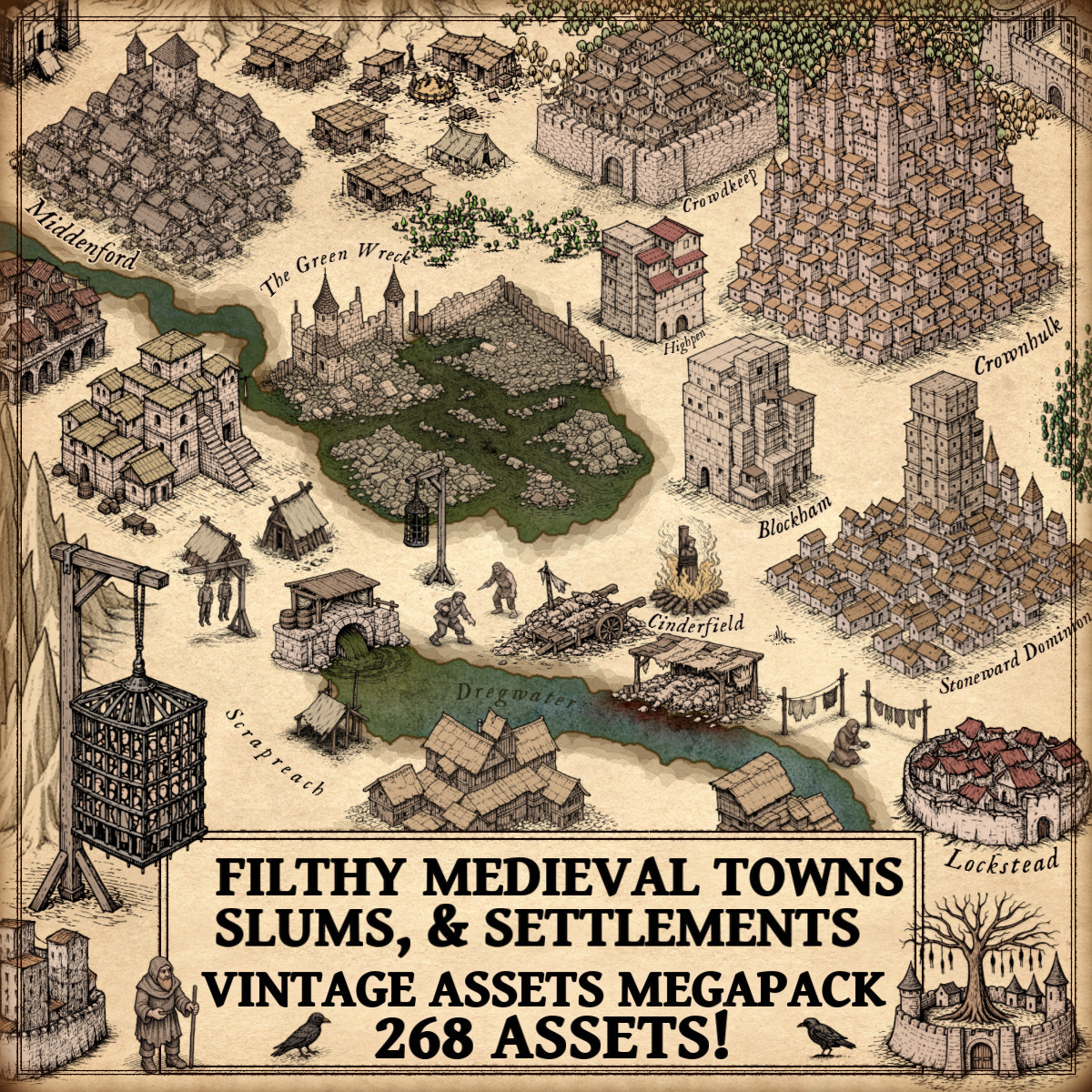
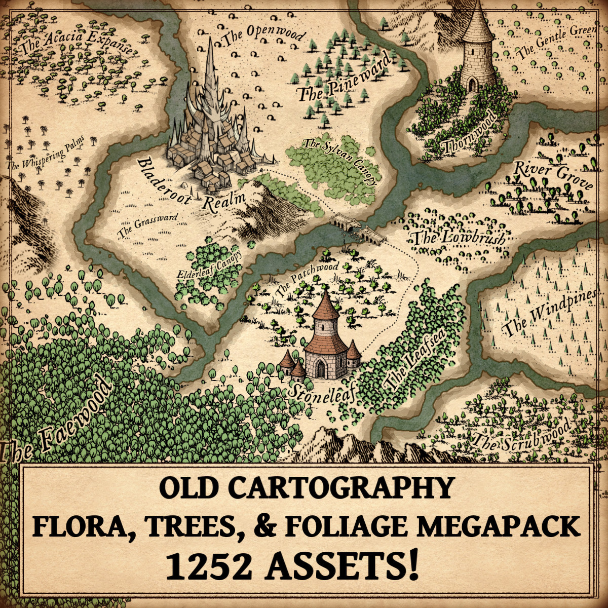
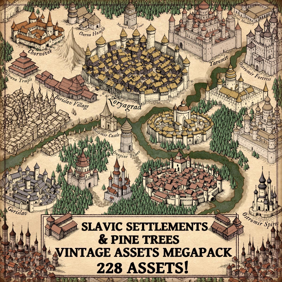
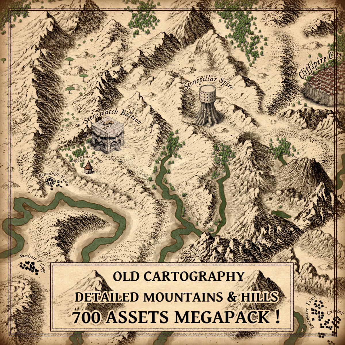
The Old Cartography Creator Kit Megapack operates within this vocabulary, offering architectural pieces, rooms of varied geometry, corridors, staircases, doors, gates, windows, fortification paths, walls, pools, trees, statues, and symbolic markers. Together, these elements recreate the visual grammar of architectural storytelling.
Wonderdraft Assets and the Aesthetic of Historical Draftsmanship
The visual style inspired by old architectural drawings carries profound cultural resonance. Hand-inked lines, muted tones, outlined forms, these evoke authenticity, craftsmanship, and intellectual heritage.
Historical plans were often beautiful not by intention alone, but by necessity. Before digital tools, clarity demanded elegance. Lines had to be legible. Symbols had to be distinct. Composition mattered.
This aesthetic now conveys mood. Vintage-style floor plans feel scholarly, mysterious, archival. Blueprint-style visuals feel technical, analytical, modernist. Chalkboard themes suggest design-in-progress, experimentation, ideation.
Fantasy cartography benefits enormously from this visual psychology. A map does not merely communicate layout; it communicates atmosphere.
Fantasy Map Icons Between Utility and Decoration
Floor plans inhabit a fascinating duality. They are among the most utilitarian forms of visual representation, yet they have long been appreciated as decorative artifacts.
Architectural drawings adorn museums, books, and galleries. Piranesi’s engravings are celebrated as art. Leonardo’s notebooks are revered not just for invention, but for visual poetry.
In fantasy contexts, floor plans similarly transcend function. They become immersive artifacts. They suggest realism. They invite exploration.
The decorative appeal is inseparable from the structural clarity.
Fantasy Map Assets as Cognitive Tools
Spatial diagrams serve a deeply cognitive purpose. Humans think spatially. A floor plan allows the mind to simulate movement, anticipate encounters, and construct mental geography. This is why floor plans remain central in gaming, storytelling, and design. They are engines of imagination.
A modular system amplifies this effect. Instead of drawing from scratch, creators assemble space the way architects assemble buildings — through components, relationships, and patterns.
The result is not merely faster creation, but more coherent spatial logic.
The Megapack as a Continuation of a Visual Tradition
The Floor Plan Modular Top-Down Assets – Old Cartography Creator Kit Megapack does not invent something new. It refines something ancient. Its architectural pieces echo Roman geometric logic. Its halls and chambers recall medieval spatial symbolism. Its blueprint-like clarity reflects Renaissance analytical drawing. Its stylistic themes resonate with centuries of draftsmanship.
It supports ancient temples, medieval castles, modern interiors, ritual chambers, domestic houses, fortified complexes, and imaginative structures that blend eras. More importantly, it supports narrative thinking. A creator does not simply place rooms. They compose experience.
Why Floor Plans Persist Across Eras
Floor plans endure because they reconcile two human impulses: the need for order and the hunger for imagination. They translate three-dimensional experience into two-dimensional understanding. They compress complexity into symbol. They invite interpretation.
In ancient times, they expressed cosmology and civic ideology. In medieval contexts, they embodied defense and mysticism. In Renaissance practice, they became instruments of knowledge. In fantasy cartography, they construct worlds.
Across centuries, the function remains constant: to make space intelligible.
Cartography Assets as Cultural Memory
Every architectural symbol carries historical memory. Columns whisper antiquity. Gates recall fortresses. Spiral staircases evoke towers and intrigue. Sarcophagi summon forgotten civilizations.
When creators assemble fantasy maps, they unconsciously participate in architectural archaeology. They borrow centuries of visual language.
This is why historically inspired assets feel intuitive. They resonate with collective visual memory.
Conclusion: Blueprints, Imagination, and the Architecture of Storytelling
Floor plans are among humanity’s most enduring visual inventions. They are diagrams, narratives, artworks, and cognitive frameworks.
Fantasy cartography inherits this extraordinary legacy. Whether building dungeons, castles, cities, laboratories, or hybrid worlds, creators rely on architectural representation to anchor imagination.
The Floor Plan Modular Top-Down Assets – Old Cartography Creator Kit Megapack stands as a modern expression of an ancient craft. It empowers artists, designers, and storytellers to work within a visual tradition shaped by Vitruvius, medieval builders, Renaissance visionaries, and generations of imaginative cartographers.
Because ultimately, every fantasy world, no matter how magical, must still be built room by room.