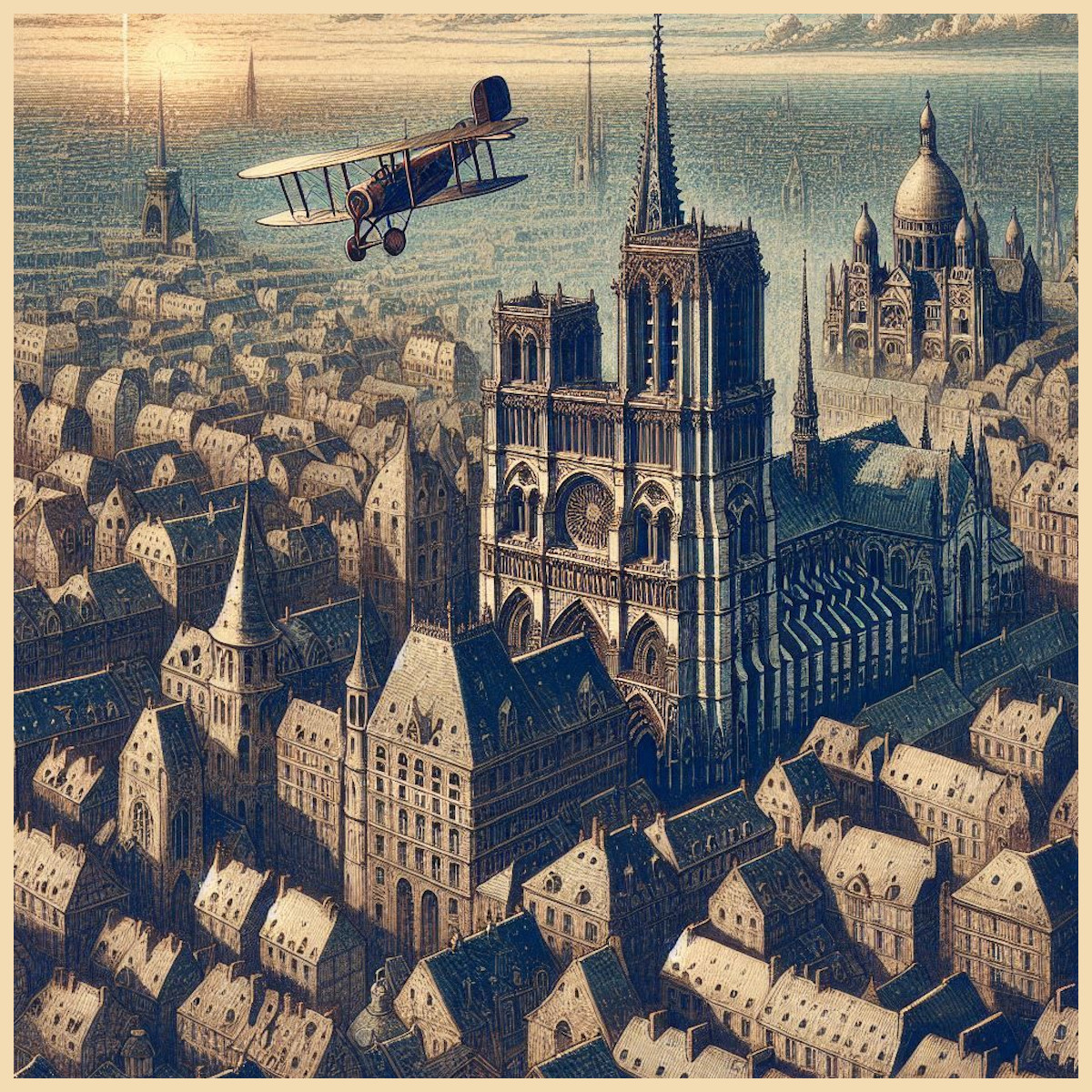
Maps are never just maps. From the clay tablets of Mesopotamia to the illuminated Mappa Mundi of the Middle Ages, cartography has always blended utility with wonder. It has been a tool for orientation, a cultural mirror, a political statement, and, crucially, a canvas for the imagination.
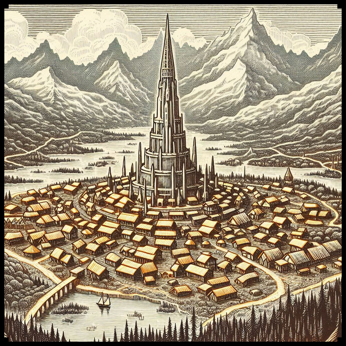
This tradition continues today in the realms of speculative fiction. Fantasy maps — whether drawn for roleplaying games, novels, or worldbuilding projects — are as much about visual storytelling as navigation. And in the age of science fiction, the visual vocabulary of maps has expanded to include towering megastructures, sprawling sci-fi cities, mysterious alien jungles, and intricate colony outposts.
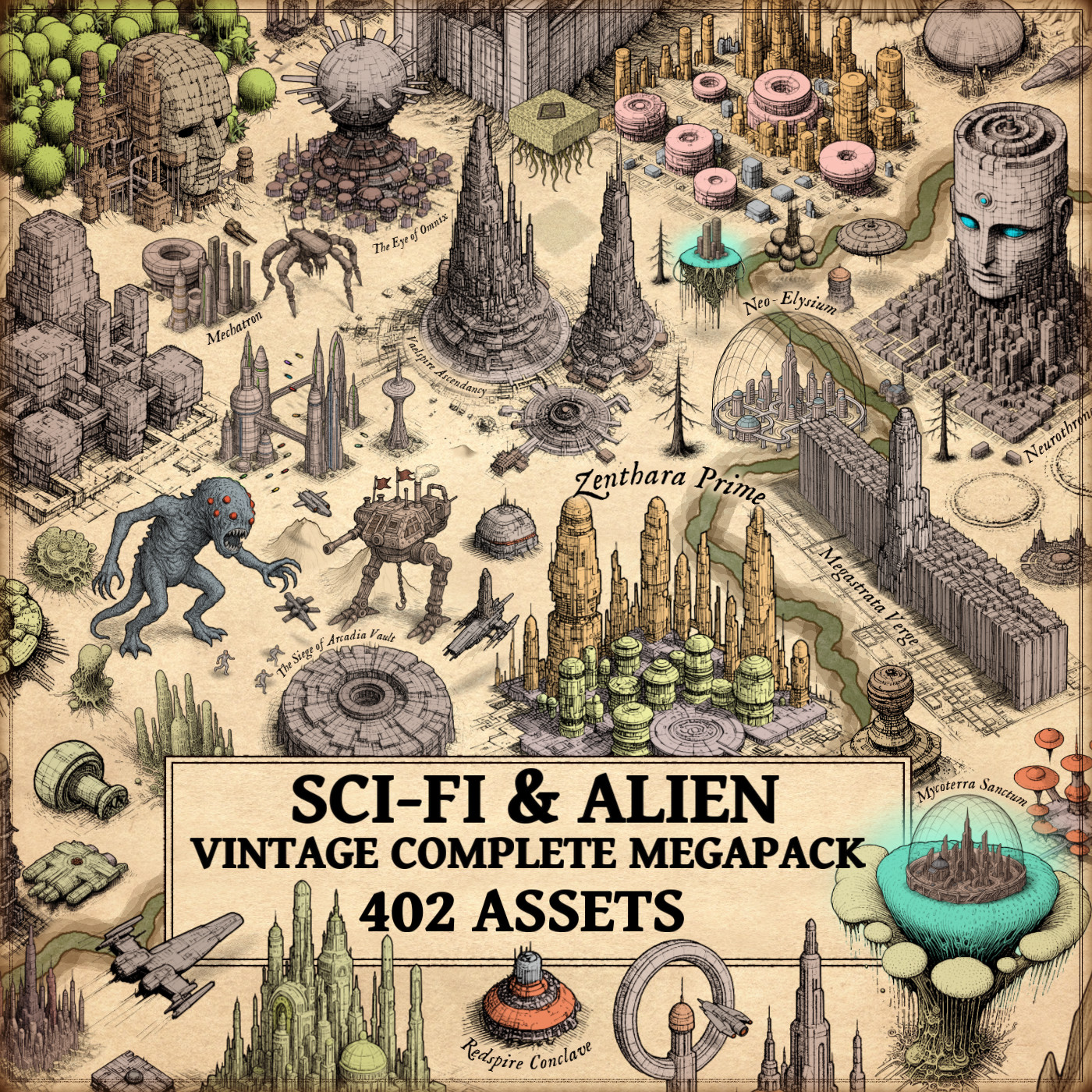
At the heart of this evolution stands the Sci-Fi & Alien Vintage Complete Megapack — a richly detailed collection of Wonderdraft assets, ideal for creators looking to build science-fiction or extraterrestrial worlds with style, coherence, and historical charm.
BUY AND DOWNLOAD The Sci-Fi & Alien Vintage Complete Megapack here :
From Antique Ink to Galactic Hubs: The Legacy of Speculative Cartography
Historical cartographers did not merely chart space — they mapped belief. Think of al-Idrisi’s Tabula Rogeriana (1154) or the Hereford Mappa Mundi (c. 1300): mythical beasts, the Garden of Eden, strange peoples, and symbolic cities. These early cartography assets did not just describe the world — they imagined it.
Modern fantasy map icons serve a similar function. When a sci-fi map includes a glowing domed city, a spaceport, or a grove of bioluminescent alien mushrooms, it doesn’t just tell us where something is — it tells us what that world believes in. It reflects our modern myths: progress, exploration, technology, and first contact.
The Functional and Symbolic Role of Sci-Fi Map Elements
In tabletop games, worldbuilding projects, or fictional atlases, sci-fi elements play vital narrative and strategic roles. Their visual representation, especially using high-quality Wonderdraft assets, enhances immersion and storytelling clarity.
Cities, Settlements, and Outposts
- Sci-fi cities, futuristic towns, and colony outposts act as power centers, trading hubs, or strategic objectives.
- Their design — often domed or fortified — mirrors themes of isolation, protection, or terraforming, reinforcing world narrative through visual cues.
Spaceports, Megacities, and Planetary Hubs
- These elements serve as gateways between regions or planets, much like ancient ports once did on medieval nautical charts.
- A megacity icon, placed on a galactic trade route, instantly signals importance and scale.
Spaceships, Crashed Vessels, and Star Cruisers
- Mobile and iconic, they function like armies or fleets on historical battle maps — they bring motion to static landscapes.
- Vintage-style designs evoke the golden era of pulp sci-fi, grounding even the most alien of maps in familiar cultural references.
Alien Settlements and Flora
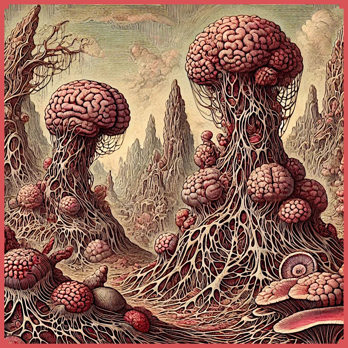
- Alien cities, biomechanical towers, or forests filled with luminescent mushrooms and gigantic alien trees recreate the surrealism once reserved for the margins of ancient maps.
- These fantasy map icons suggest danger, mystery, or wonder — crucial atmosphere builders.
Cultural Depth and Decorative Power in Sci-Fi Mapmaking
While highly practical, these elements are also rich in aesthetic and symbolic meaning. Just as 16th-century maps by Ortelius or Mercator included ornate cities and decorative flourishes, today’s cartography assets bring visual rhythm and identity to sci-fi maps.
The Sci-Fi & Alien Vintage Complete Megapack is designed in the spirit of these historical works. Its unique style mimics antique linework and texturing, reimagining the visual language of ancient maps for use in futuristic settings. It’s a fusion of classical aesthetics with sci-fi imagination — a perfect blend for mapmakers seeking something more than digital clarity.
What Makes the Sci-Fi & Alien Vintage Complete Megapack Essential
This megapack is not just another asset collection — it’s a full visual toolkit for futuristic and alien worldbuilding. Whether you’re crafting a battle map, an interplanetary atlas, or a planetary hex map, this set offers:
- A vast selection of fantasy map icons covering megastructures, technological ruins, orbital stations, and retro-futuristic spacecraft.
- A rich variety of alien structures like monolith towers, biomechanical cities, and Lovecraftian alien forms.
- Utility structures such as sci-fi bunkers, command towers, industrial buildings, and transparent domes.
- Stylized icons for spaceports, sci-fi dungeons, fortresses, explorer vessels, and more.
- A consistent visual tone — vintage, symbolic, and usable across multiple map types — especially compatible with Wonderdraft assets and similar software.
Each item was crafted with care for visual balance, storytelling impact, and stylistic cohesion. The icons are equally suited for tabletop maps, digital campaigns, and print-ready materials.
Bridging Ancient Style with Futuristic Vision
Why do we still decorate maps with fantastic places? Why are we drawn to alien towers, strange machines, and glowing flora?
Because, like ancient cartographers, we still crave mystery. We still want to fill the blank spaces with story.
The Sci-Fi & Alien Vintage Complete Megapack is a modern expression of an old desire: to capture the unknown in visual form. It transforms cartography assets into cultural artifacts, allowing creators to depict not only terrain, but worldview. And in doing so, it connects the speculative maps of the past with the imagined galaxies of the future.
Hang it on a wall, use it in a game, publish it in a book — whatever your purpose, this collection turns your world into a legend.