I have always marveled at the representations of cities, arenas, settlements, and architectural styles inspired by the Roman Empire and ancient Greece. These elements play a pivotal role in shaping the worlds of fantasy maps. In this article, we’ll explore the historical and mystical aspects that influence the creation of fantasy maps, giving special attention to the architecture of the Roman and Greek ancient worlds.
BUY AND DOWNLOAD The Roman Empire & Ancient Greece Settlements and Towns – Vintage Assets Pack :
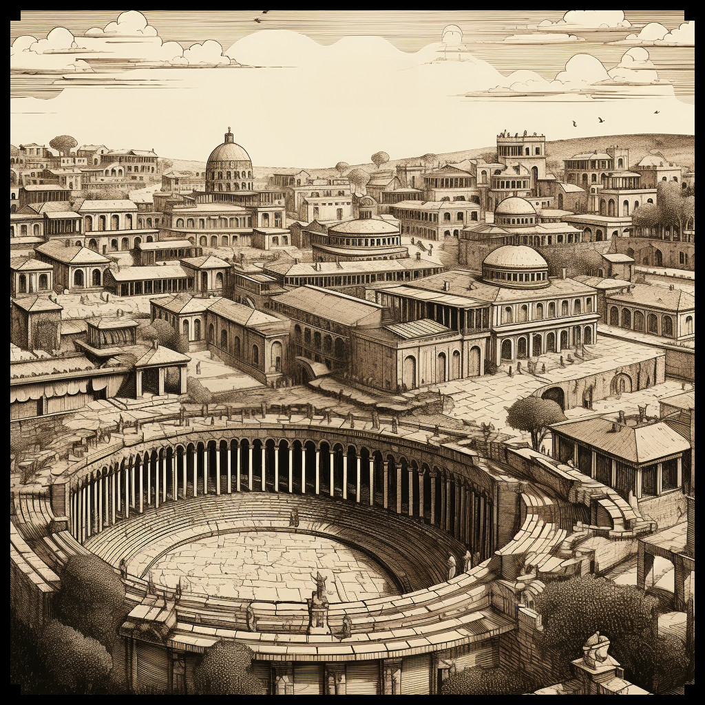
Architectural Styles of the Roman Empire and Ancient Greece
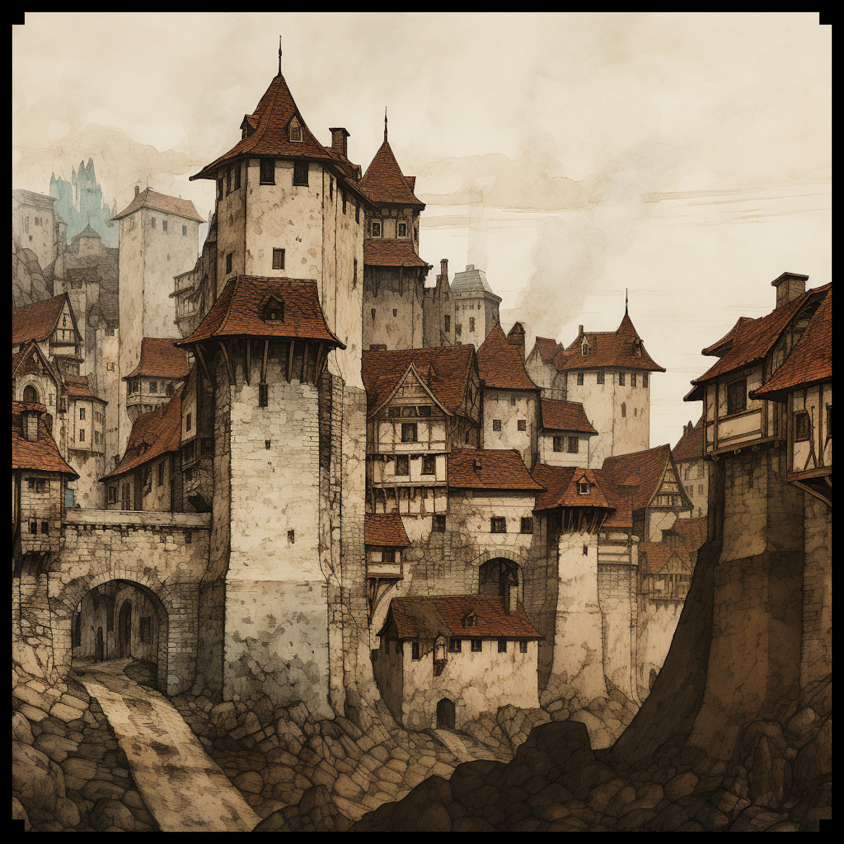
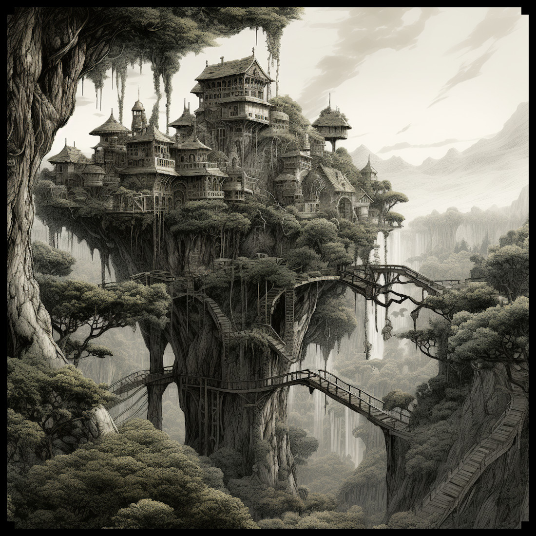
The architectural grandeur of the Roman Empire and the classical elegance of ancient Greece have left an indelible mark on the world of fantasy cartography. In these fantastical realms, cities sometimes mirror the grand cities of antiquity, and temples replicate the intricate designs of Roman and Greek places of worship. The style of buildings and structures from these civilizations significantly influences the aesthetics of these maps.
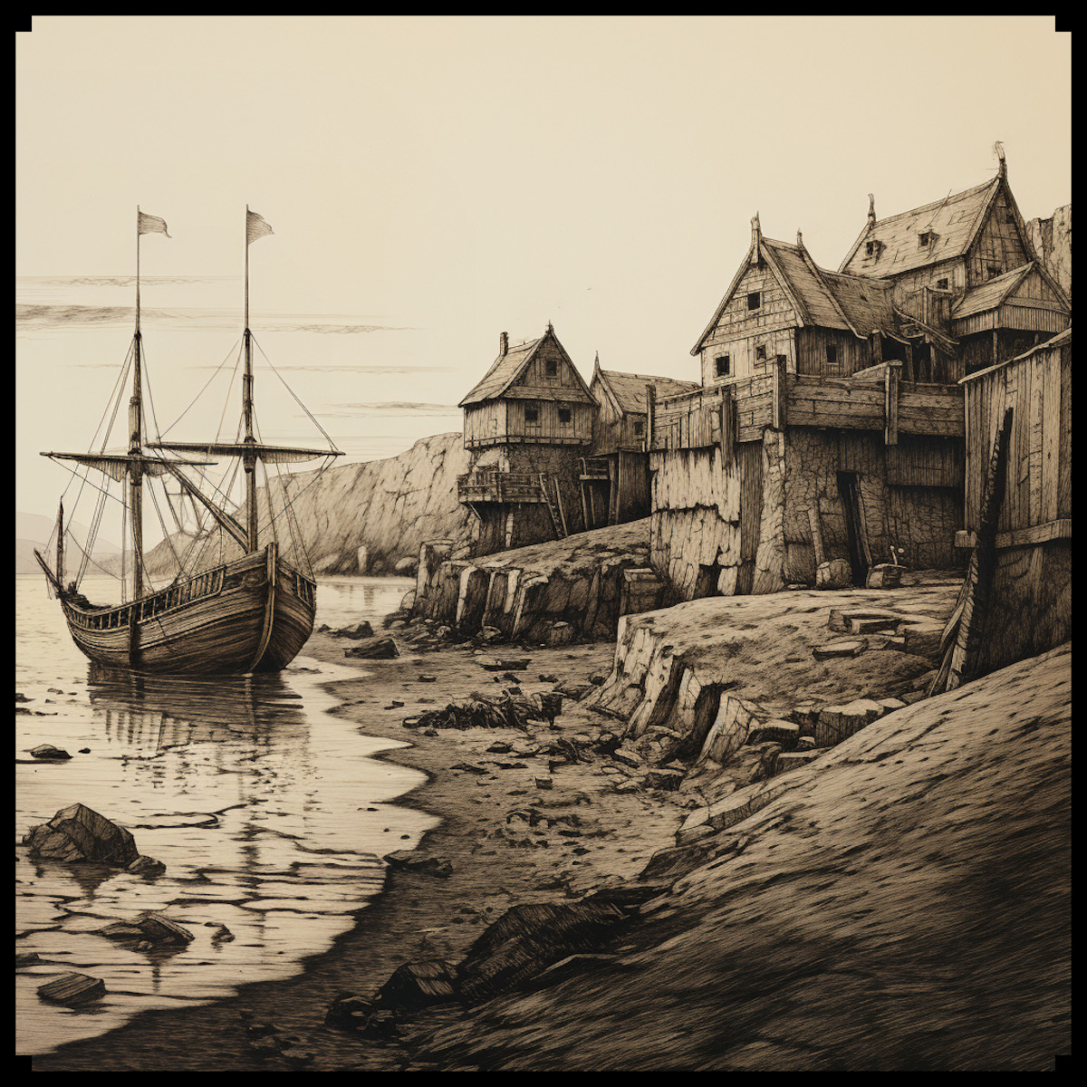
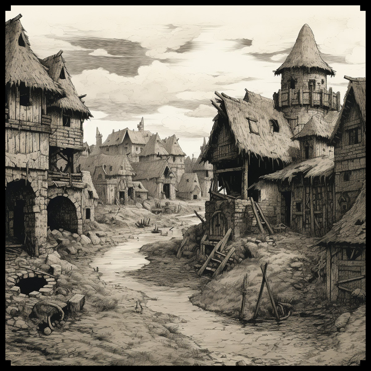
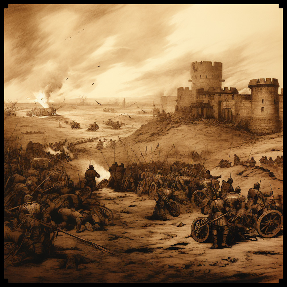
In the Roman tradition, we see the majesty of arenas, forts, palaces, and villas reflected in the fantasy world. The distinctive arches, columns, and domes of Roman architecture are often integrated into these maps, creating a sense of grandeur and historical richness. Settlements, villages, and towns often incorporate elements of Roman city planning and building styles.
Similarly, the enchanting architecture of ancient Greece, with its graceful columns, triangular pediments, and simplicity of design, finds its way into fantasy maps. Temples in these maps are often reminiscent of the Parthenon, exuding a sense of mysticism and religious significance.
Mysticism of the Roman and Greek Worlds
The Roman Empire and ancient Greece were not just known for their architectural marvels, but also for their mystical beliefs and practices. The presence of oracles, secret sects, and worship of dark deities added layers of intrigue to these civilizations, which have inspired the mysticism found in fantasy maps.
Oracles, like the Oracle of Delphi, often appear as enigmatic and mystical locations in these maps. They serve as sources of wisdom and foretelling, adding depth to the worlds they inhabit. The depiction of cults and sects dedicated to obscure gods and goddesses adds an air of secrecy and suspense to the narrative.
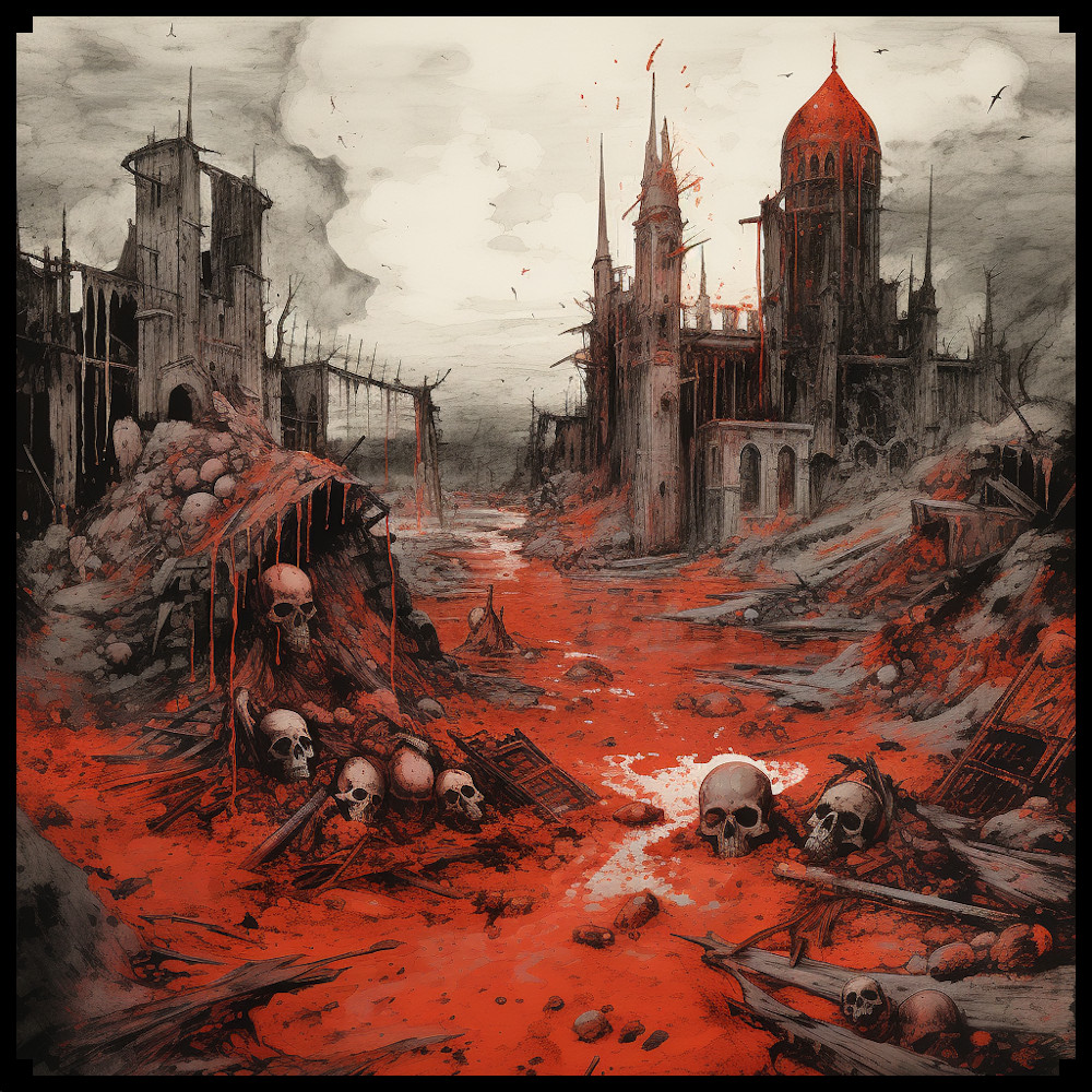
Portals to the Tartarus, the deepest abyss of the underworld in Greek mythology, provide exciting plot devices in fantasy maps. These gateways to other dimensions allow for the exploration of dark and mysterious realms, making them essential elements in the world-building process.
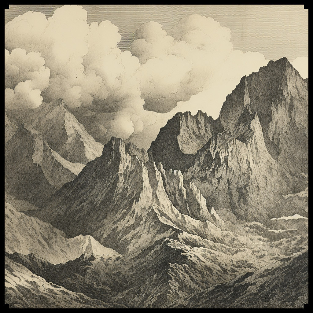
Megaliths, ancient stone structures with cryptic purposes, are another facet of antiquity that finds its place in fantasy cartography. These enigmatic formations serve as landmarks, mystery sites, or sources of power in the maps.
The Roman and Greek Temples
The temples of the Roman and Greek eras have a special place in the world of fantasy maps. The faithful representation of these sacred places, often modeled after famous real-world temples, is essential to creating a sense of wonder and spirituality in the map’s world. Whether it’s the towering columns of a Greek temple or the intricate design of a Roman sanctuary, these structures are imbued with a sense of reverence and mystique.
Roman Empire & Ancient Greece Settlements and Towns Assets Pack
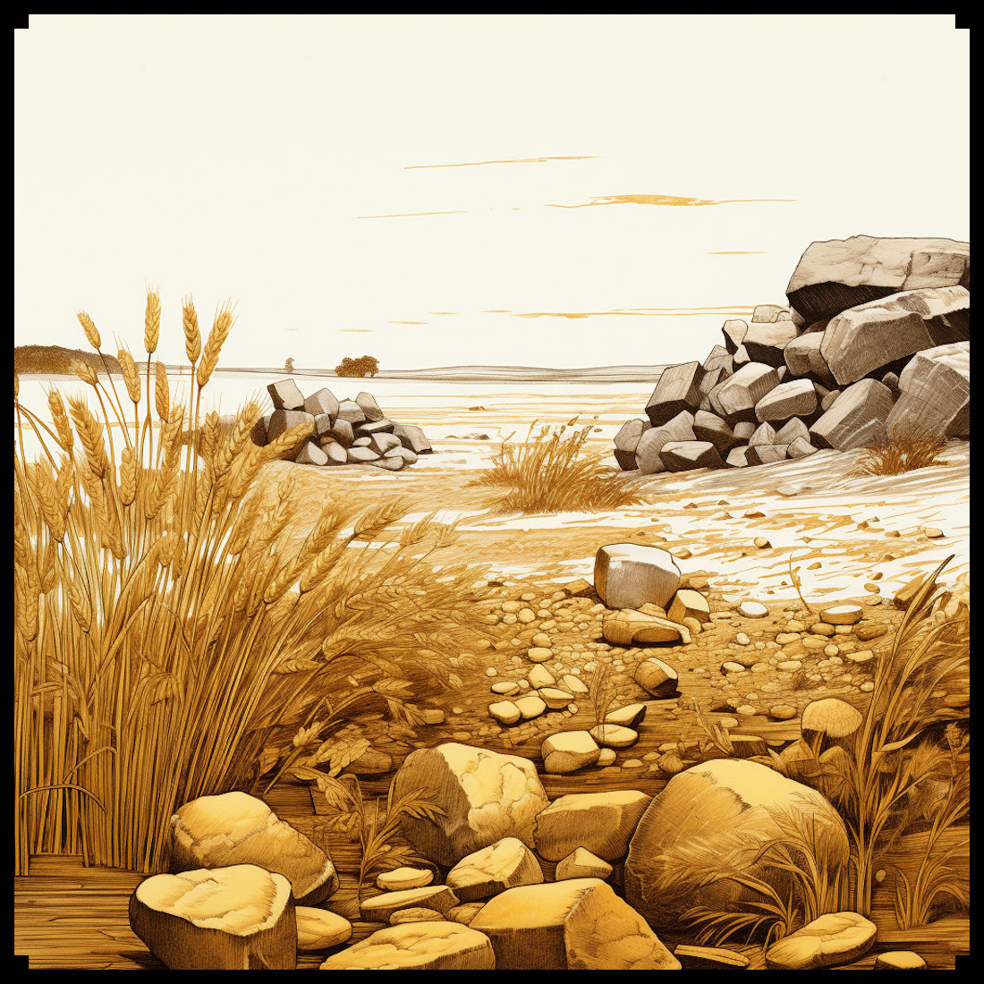
The Roman Empire & Ancient Greece Settlements and Towns Assets Pack is a treasure trove for fantasy mappers. With 99 assets inspired by the architectural styles of ancient Rome and Greece, this pack breathes life into the fantasy worlds it populates. Featuring arenas, settlements, megaliths, towns, villages, hamlets, cities, temples, sanctuaries, Roman palaces, forts, mountain forts, Roman castles, villas, interdimensional antique portals, and various structures, this collection is a testament to the historical and mystical influences on fantasy cartography.
Conclusion
In the realm of fantasy maps, the architectural grandeur of the Roman Empire and the classical elegance of ancient Greece, along with their mystical beliefs and practices, continue to be a source of inspiration. The Roman Empire & Ancient Greece Settlements and Towns Assets Pack brings these elements to life, allowing map creators to craft intricate, immersive worlds that pay homage to these ancient civilizations. With the rich tapestry of history and mysticism at their fingertips, fantasy mappers can continue to transport us to extraordinary realms that echo the grandeur of Rome and the enchantment of Greece.